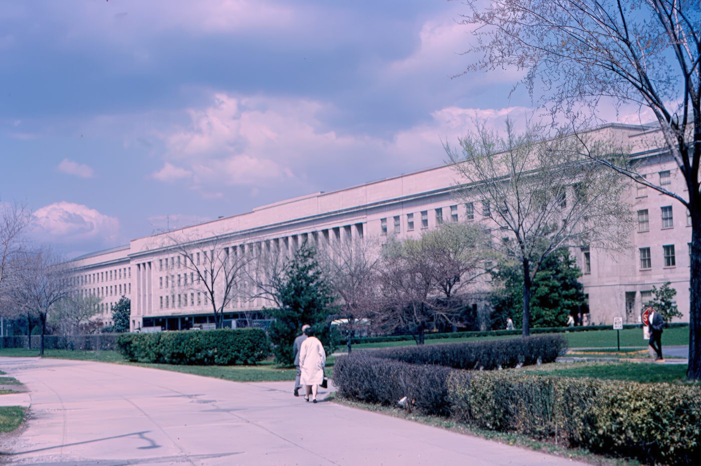
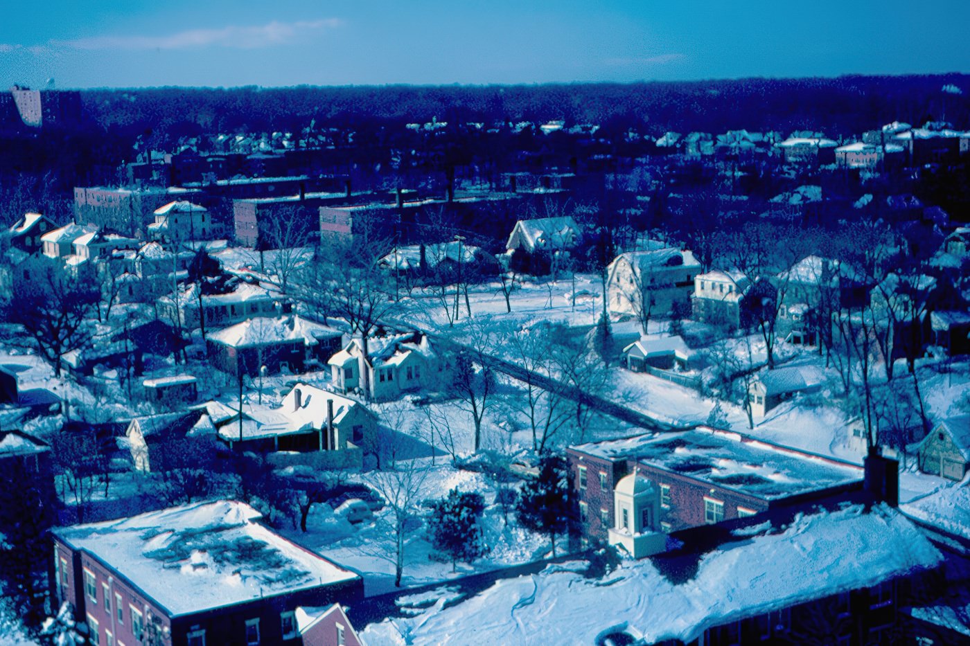
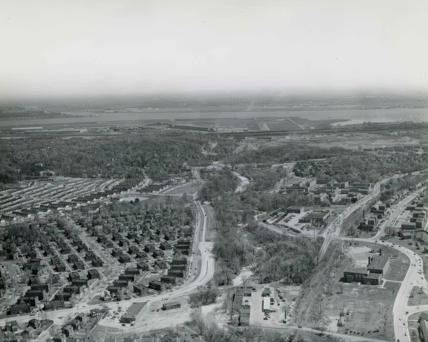
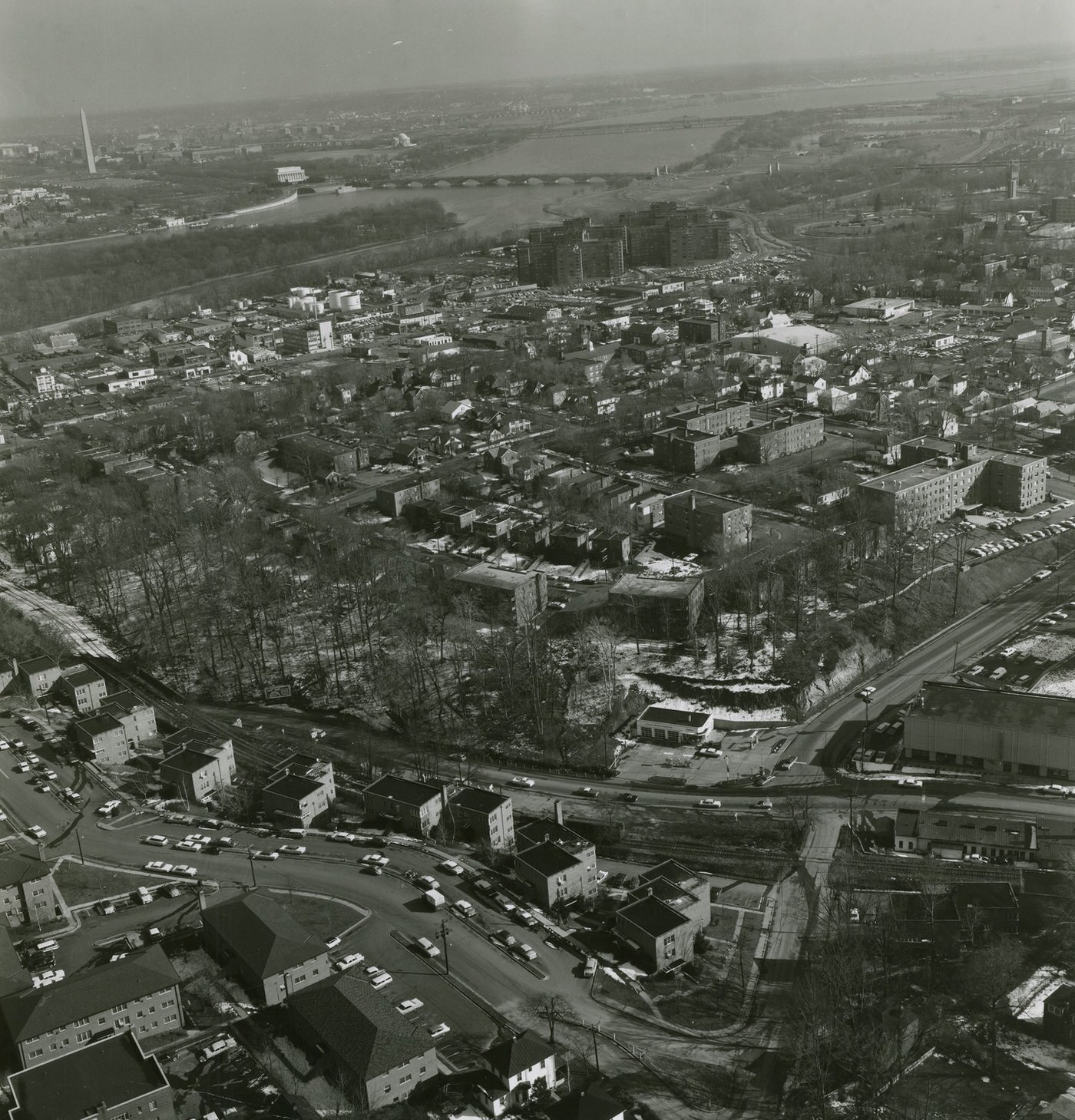
At the beginning of the 1960s, Arlington County was a rapidly developing suburban community. Its growth largely stemmed from the expansion of the federal government after World War II, which drew many people to the area for jobs. By 1940, more than half of the county’s employed adults worked for the federal government, a trend that continued into the 1950s. This expansion provided work for both Arlington natives and new arrivals from across the country, making it one of the fastest-growing counties in America.
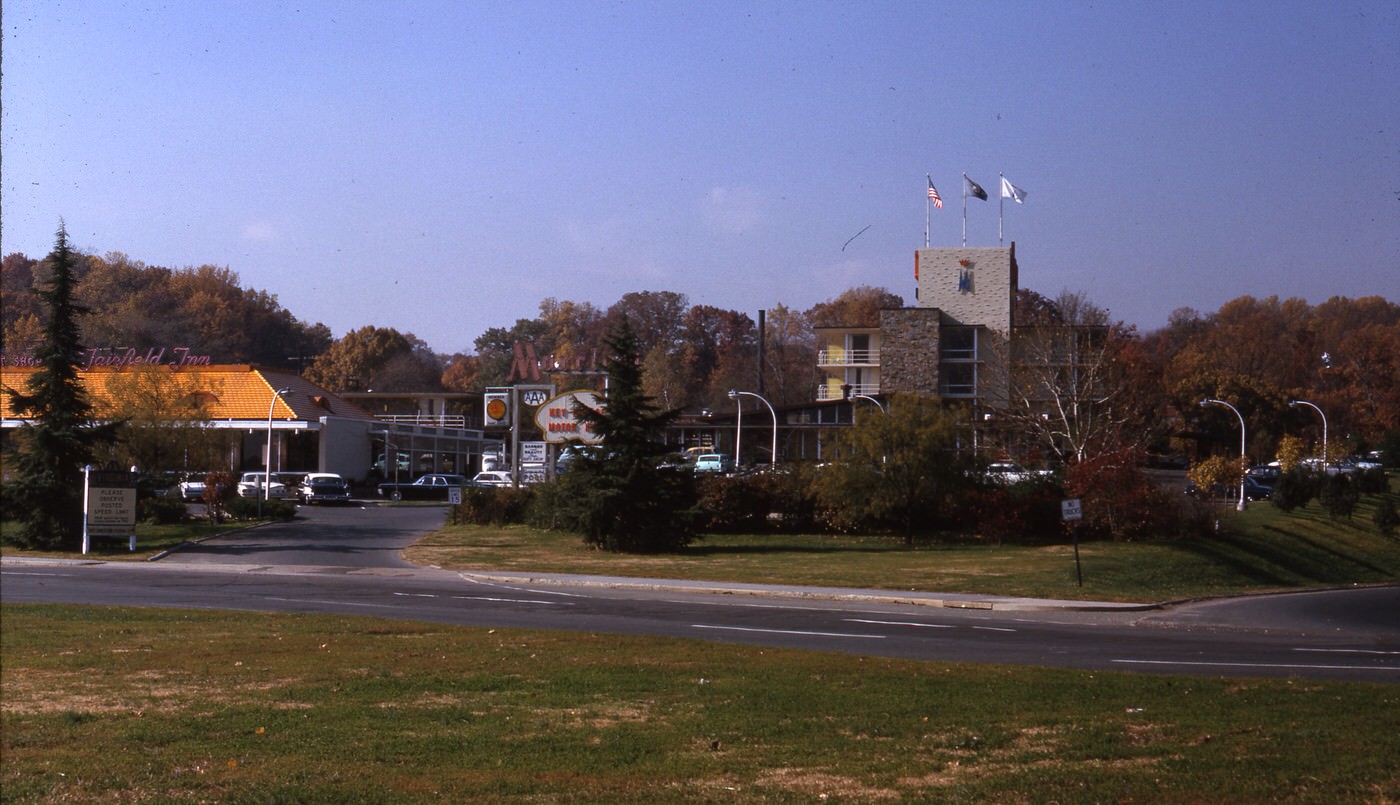
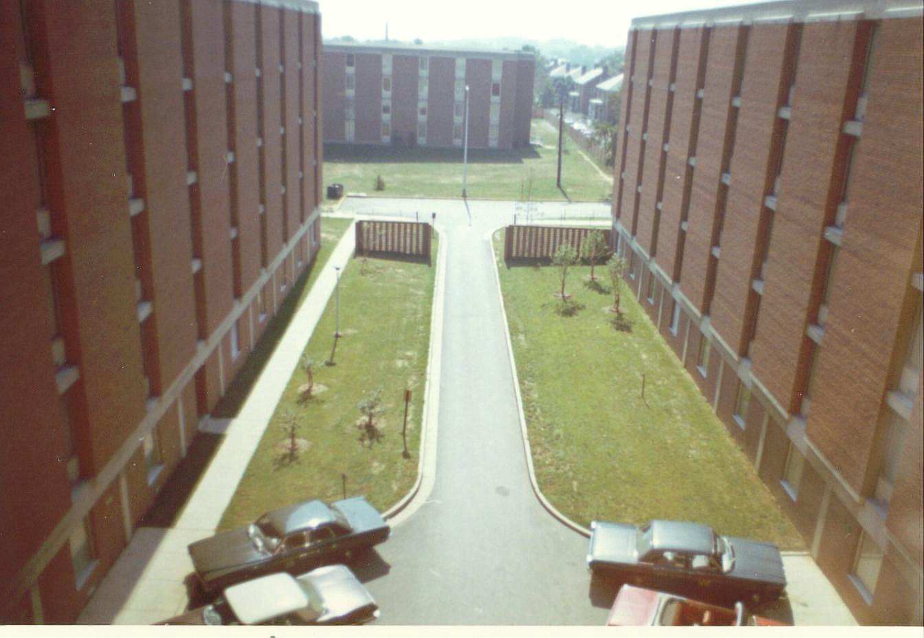
The county’s population had surged dramatically, doubling from 57,000 in 1940 to 120,000 by 1944. This rapid increase led to significant changes, including adjustments to zoning laws, upgrades to roads, and reorganization of schools. By 1960, Arlington had transformed from a smaller community located near Washington D.C. into a more fully developed county with its own growing businesses.
The sustained population growth from the 1940s into the 1960s highlights Arlington’s role as a key suburban expansion area for the federal government workforce. The continuous increase in residents meant that public services and infrastructure were constantly under pressure. This set the stage for the major urban planning initiatives that would define the 1960s, as the county sought to manage its existing population and prepare for future growth.
The 1960 census recorded Arlington County’s total population as 163,401 people. This represented a notable increase from 135,449 residents in 1950. During the 1950s, Arlington experienced an annual population growth rate of 1.9%, building upon the higher growth rates seen in previous decades.
Building a Modern Landscape
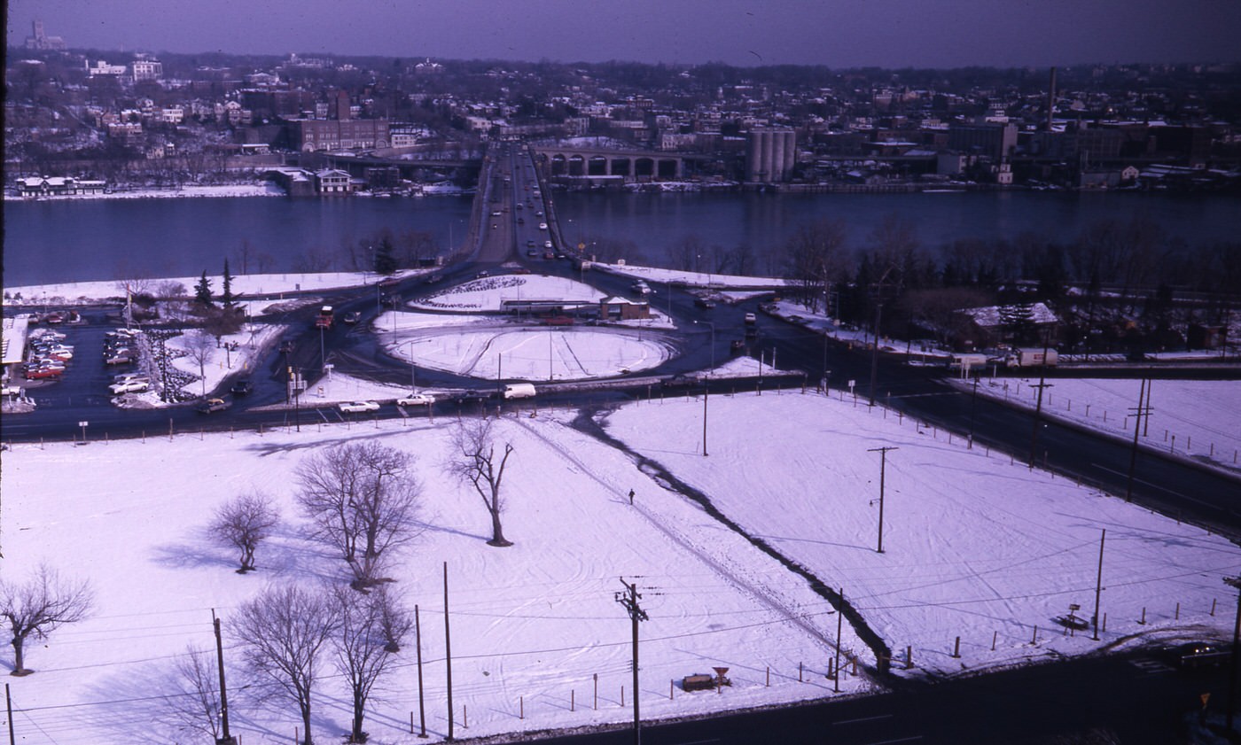
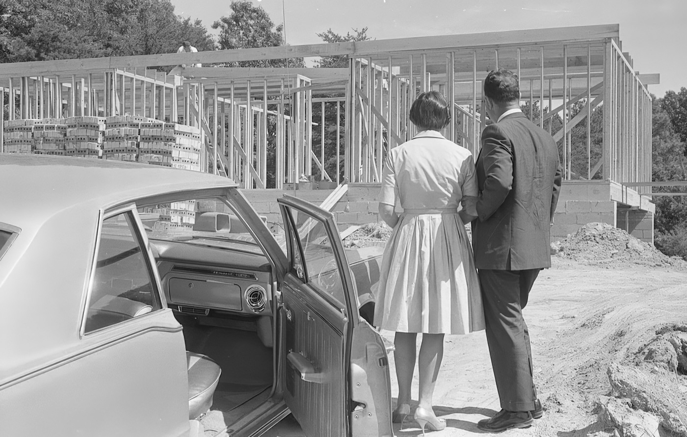
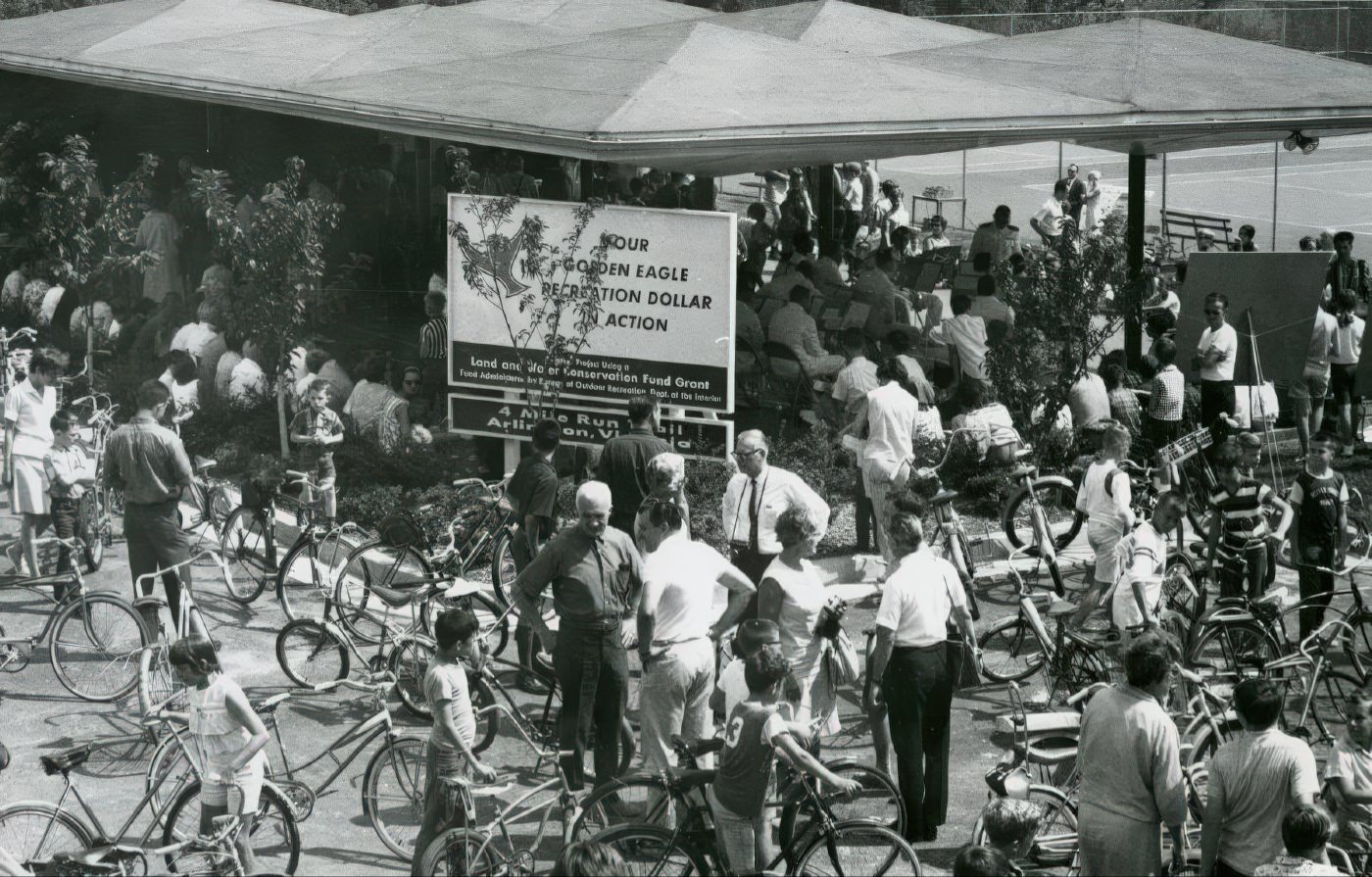
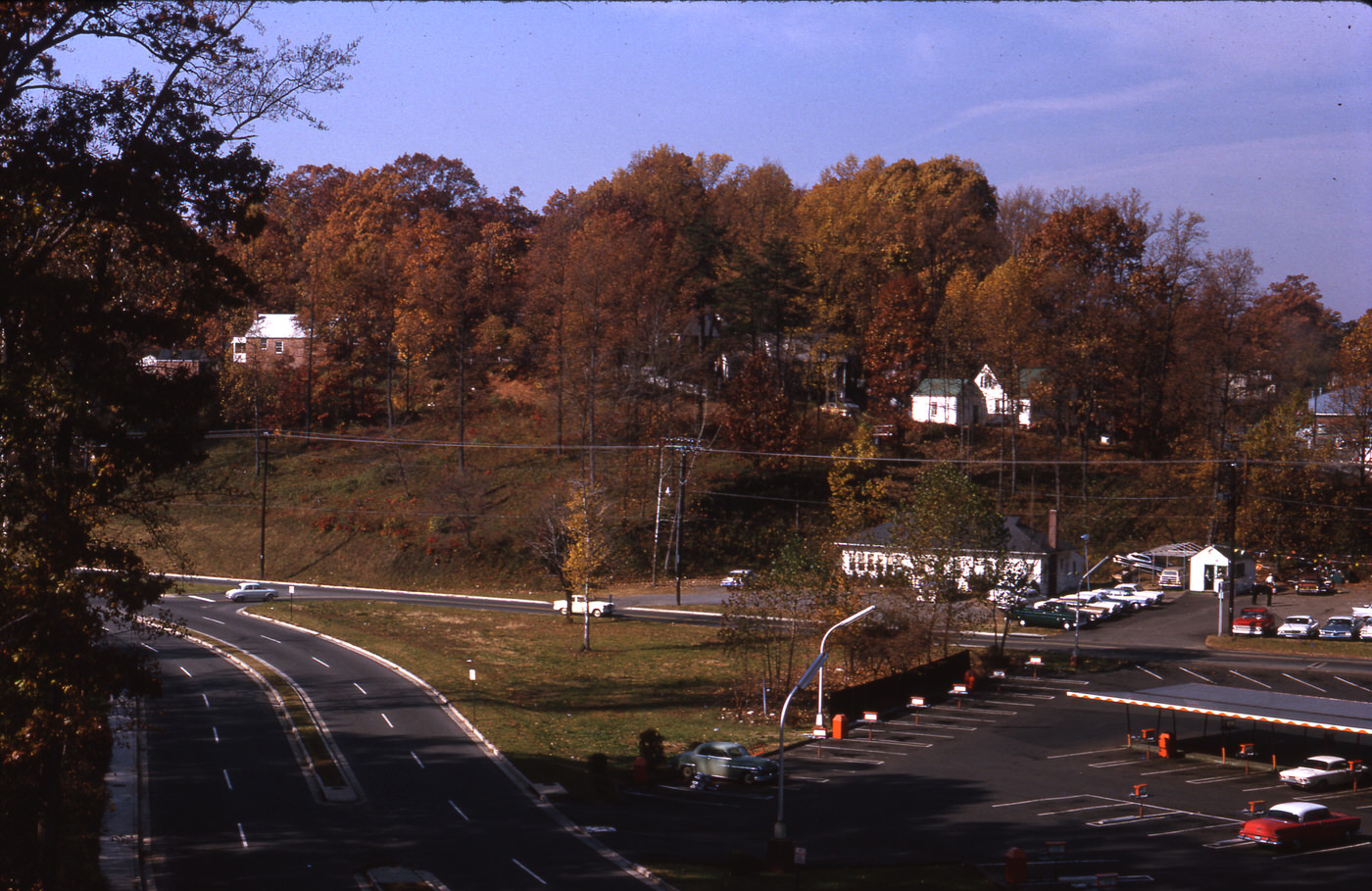
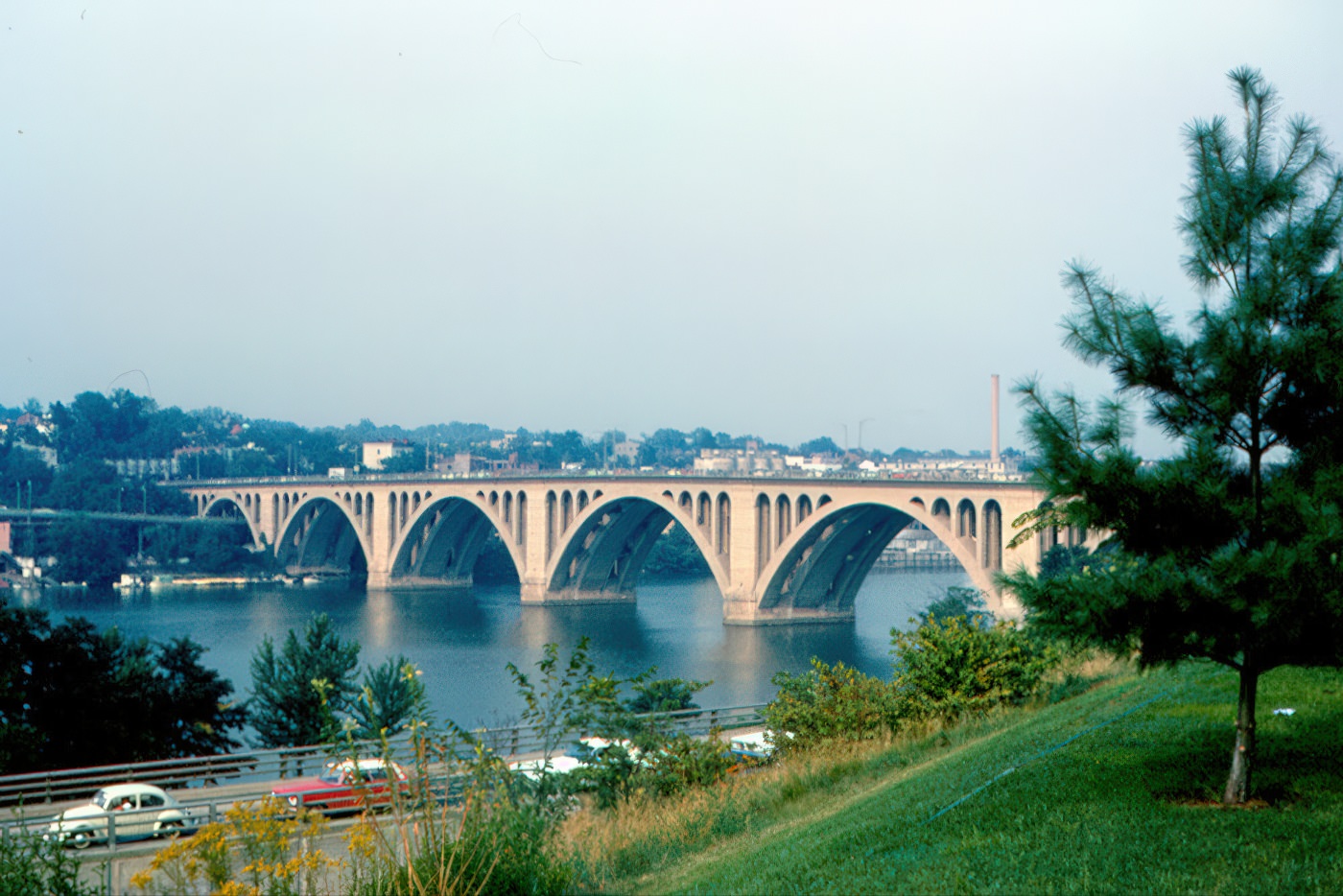
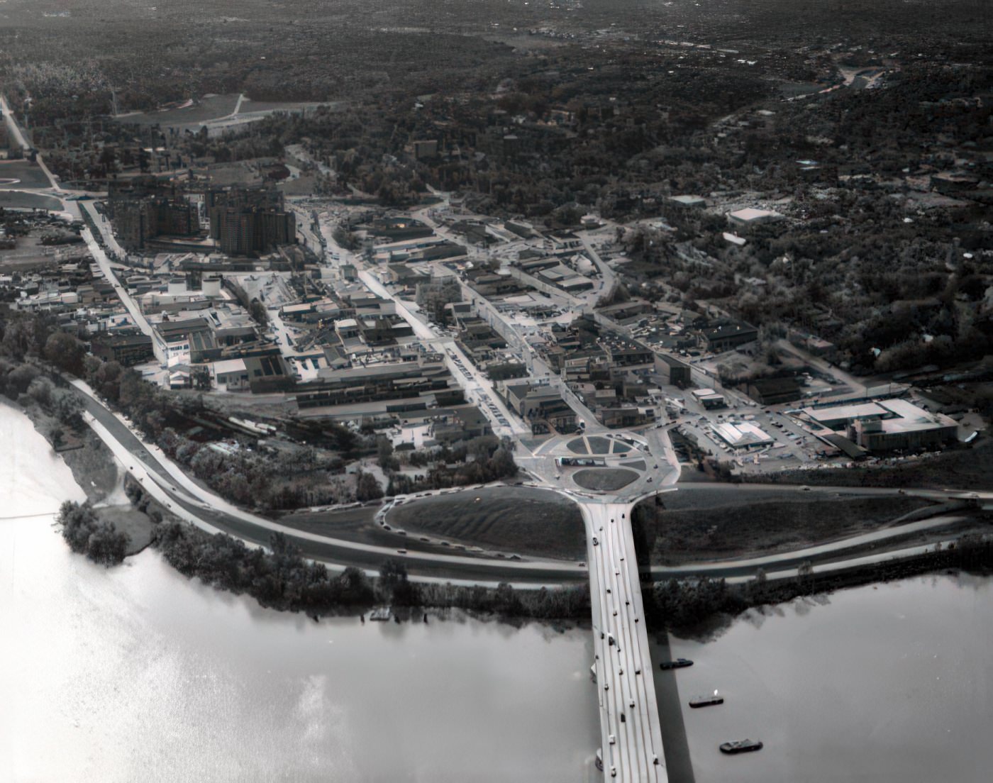
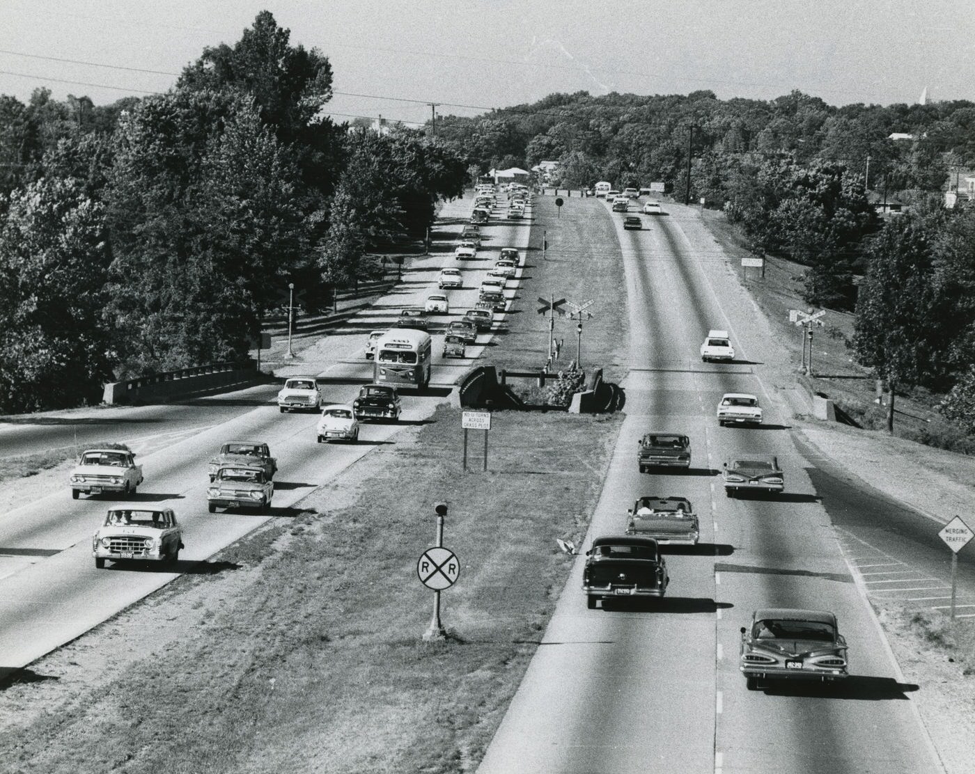
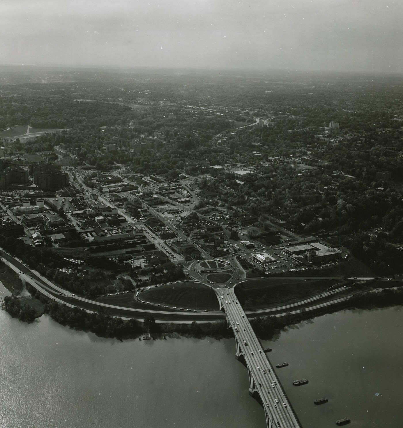
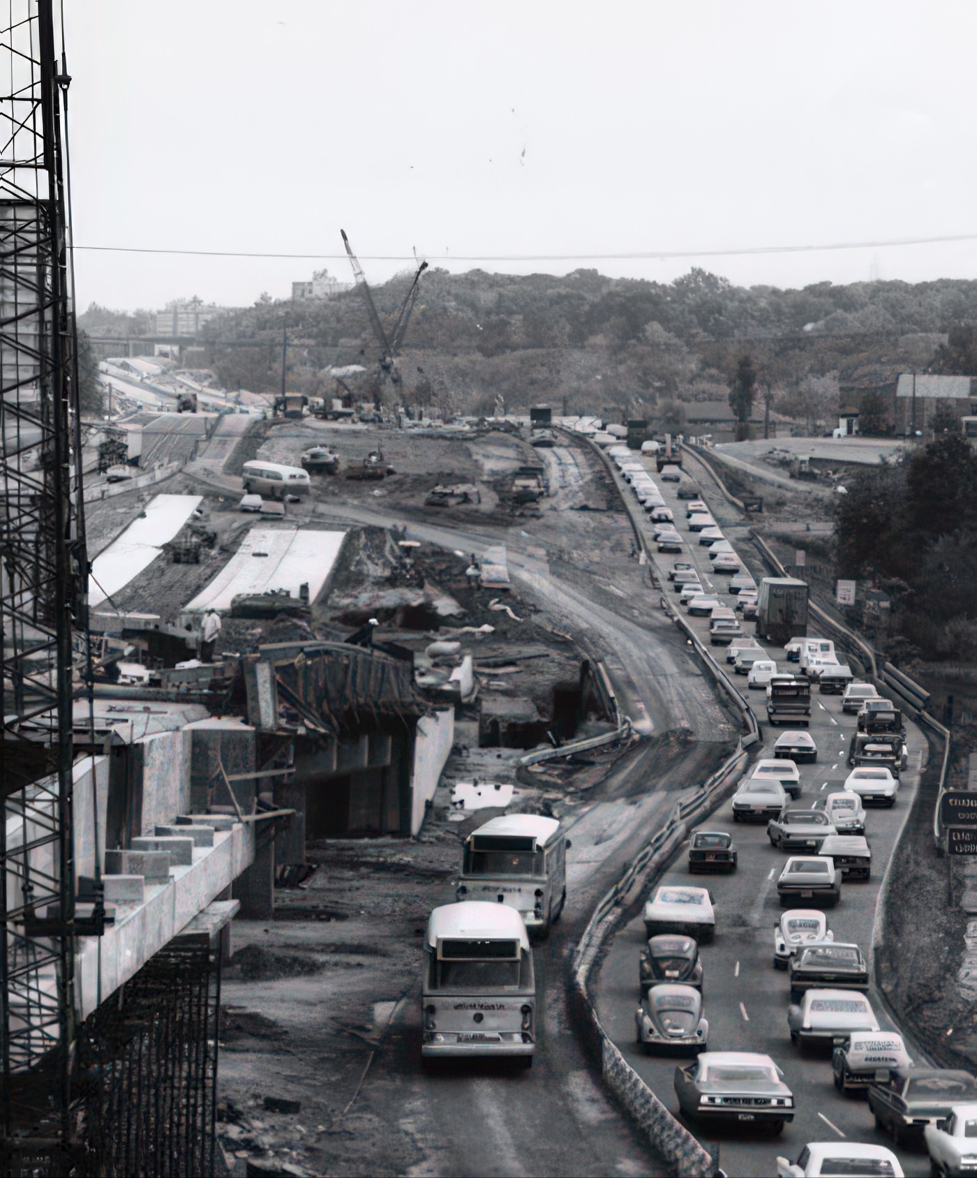
The 1960s were a pivotal time for Arlington’s urban development, as planners and officials recognized the county’s continued growth. Arlington’s first Comprehensive Plan, which included a Major Thoroughfare and Collector Streets Plan, was published in 1960. Early plans in the 1960s often favored cars, proposing new parkways and expanded interchanges. For example, the 1961 General Land Use Plan (GLUP) included parkways for Four Mile Run and Bluemont Drive.
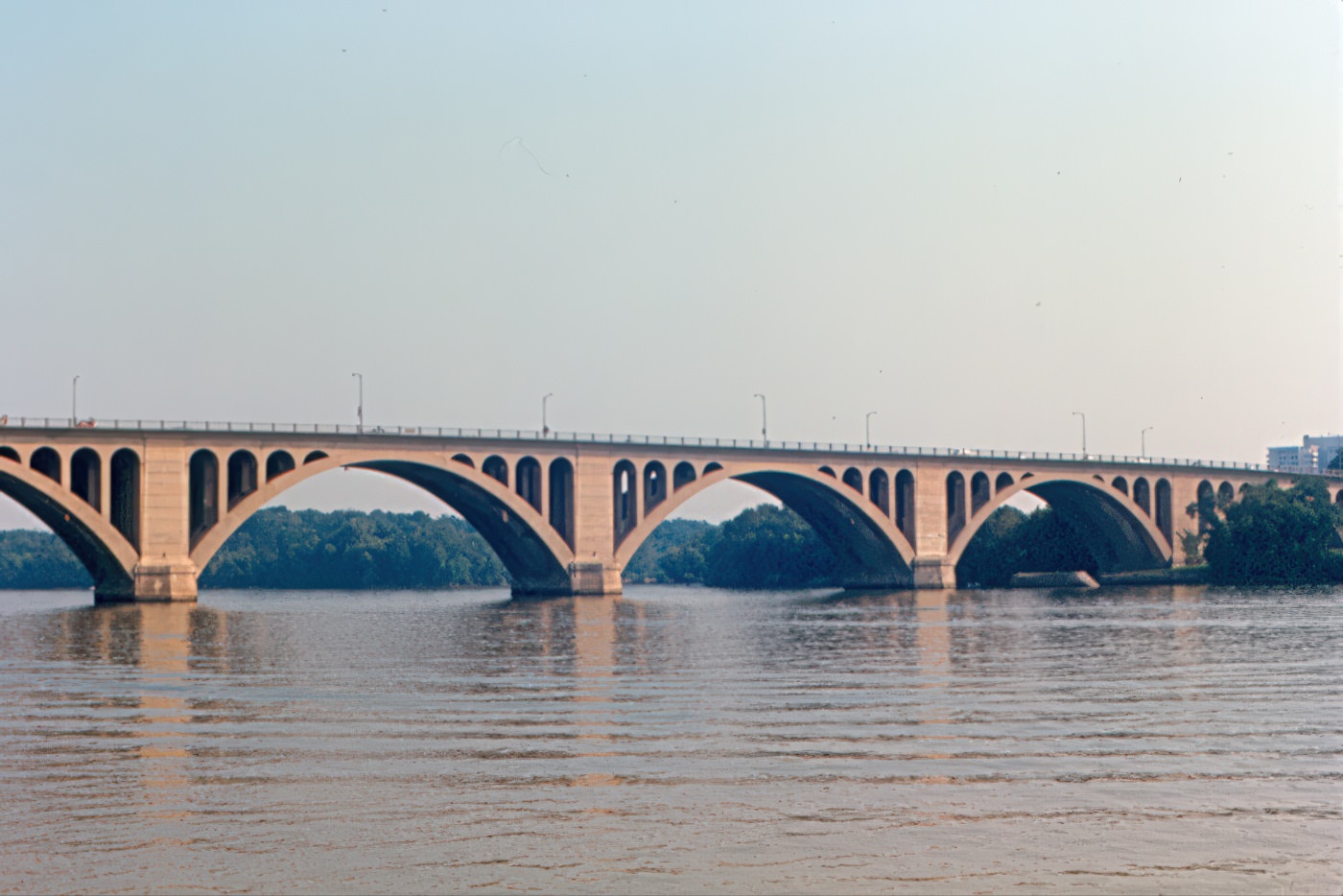
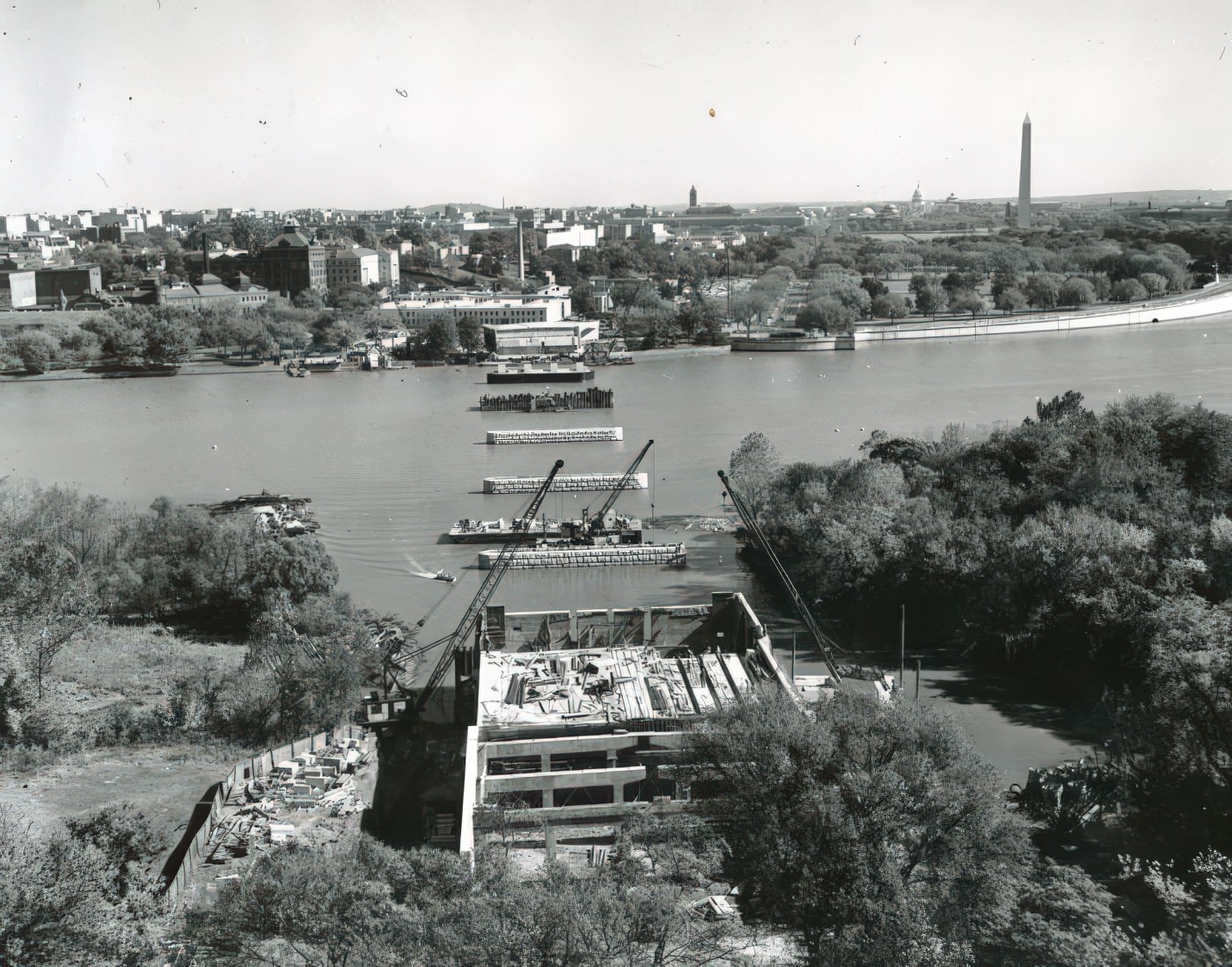
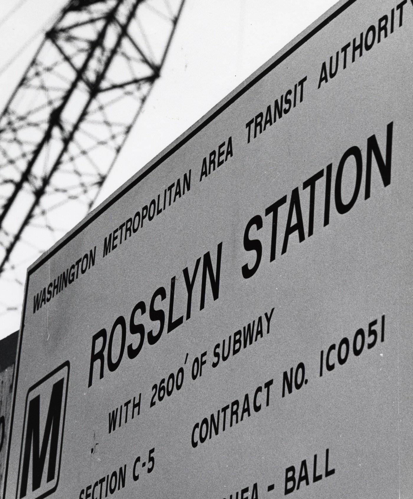
However, public opinion began to favor less highway construction. By 1966, plans for the Three Sisters Bridge were removed from consideration. A major shift in planning focused on the new Metrorail system. Arlington successfully lobbied for the Orange Line to run underground along the old commercial corridor, specifically Wilson Boulevard and Fairfax Drive, instead of along Interstate 66. This strategic decision aimed to concentrate development around public transit and prevent suburban sprawl. The county adopted a “Bull’s Eye” planning model, focusing high-density development within a quarter-mile of planned Metro stations, while preserving existing single-family neighborhoods further out. This approach aimed to create distinct “urban villages”. A $54 million bond issue for the Metro line was approved by over 70% of voters in 1968. The Metro lines became operational by 1979.
The changes in planning were a direct outcome of the challenges posed by rapid suburban growth and a desire to control future development. The county had already faced issues like traffic congestion and inadequate parking in older commercial areas by the late 1950s. The continuous population increase was also stretching public services. The decision to advocate for an underground Metro route and adopt the “Bull’s Eye” model directly addressed these problems. This approach promoted dense, walkable development around transit hubs, which helped reduce reliance on cars and prevented unchecked sprawl across the county.
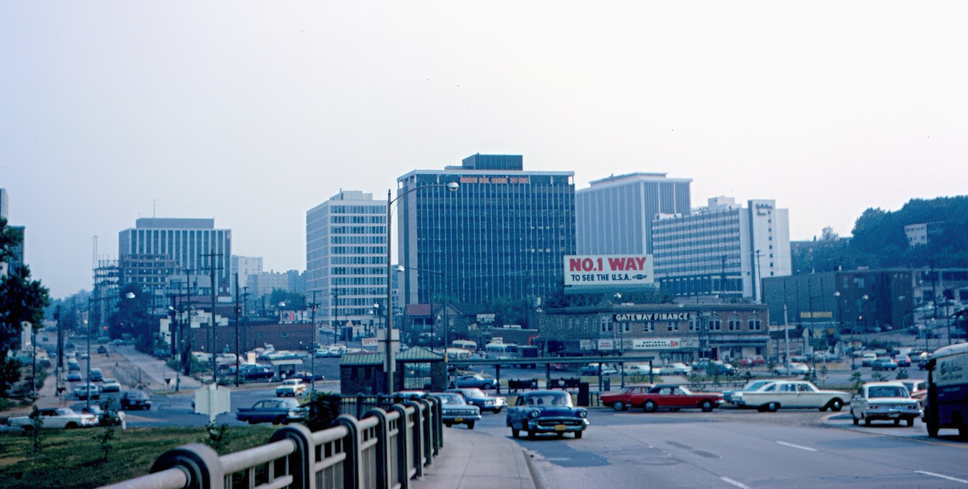
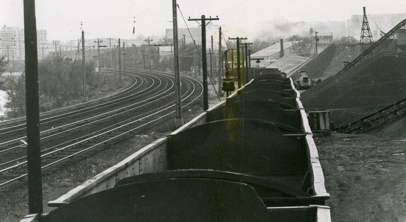
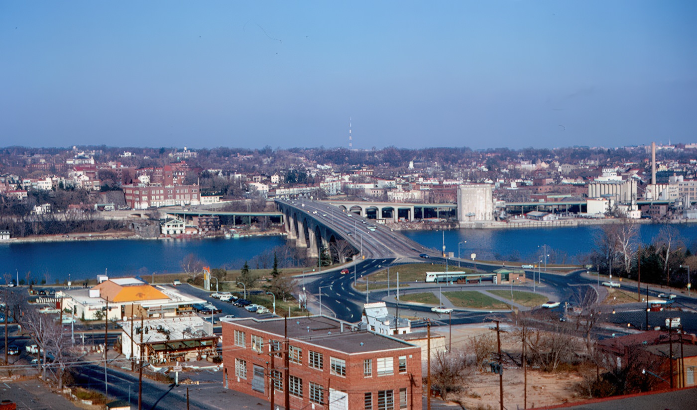
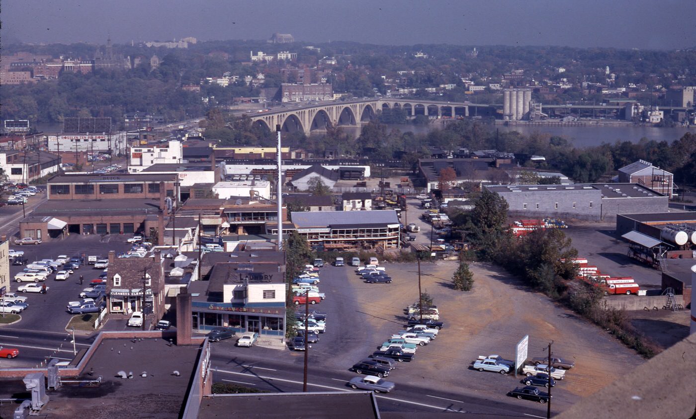
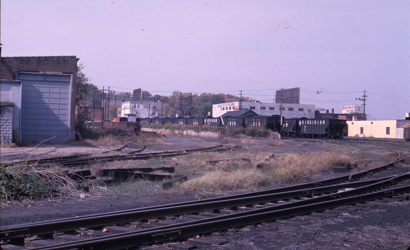
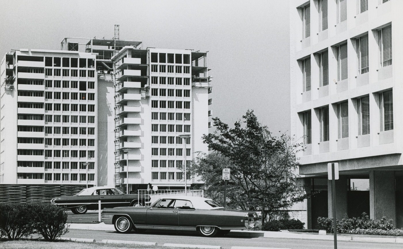
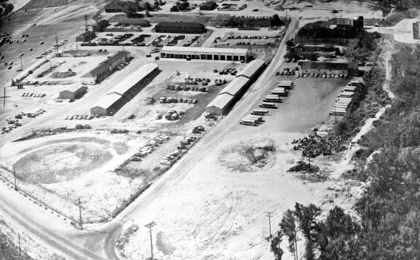
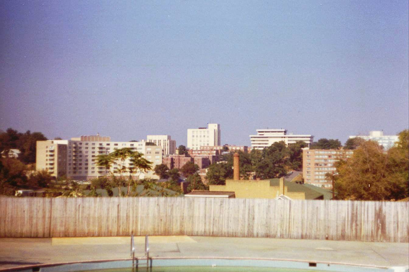
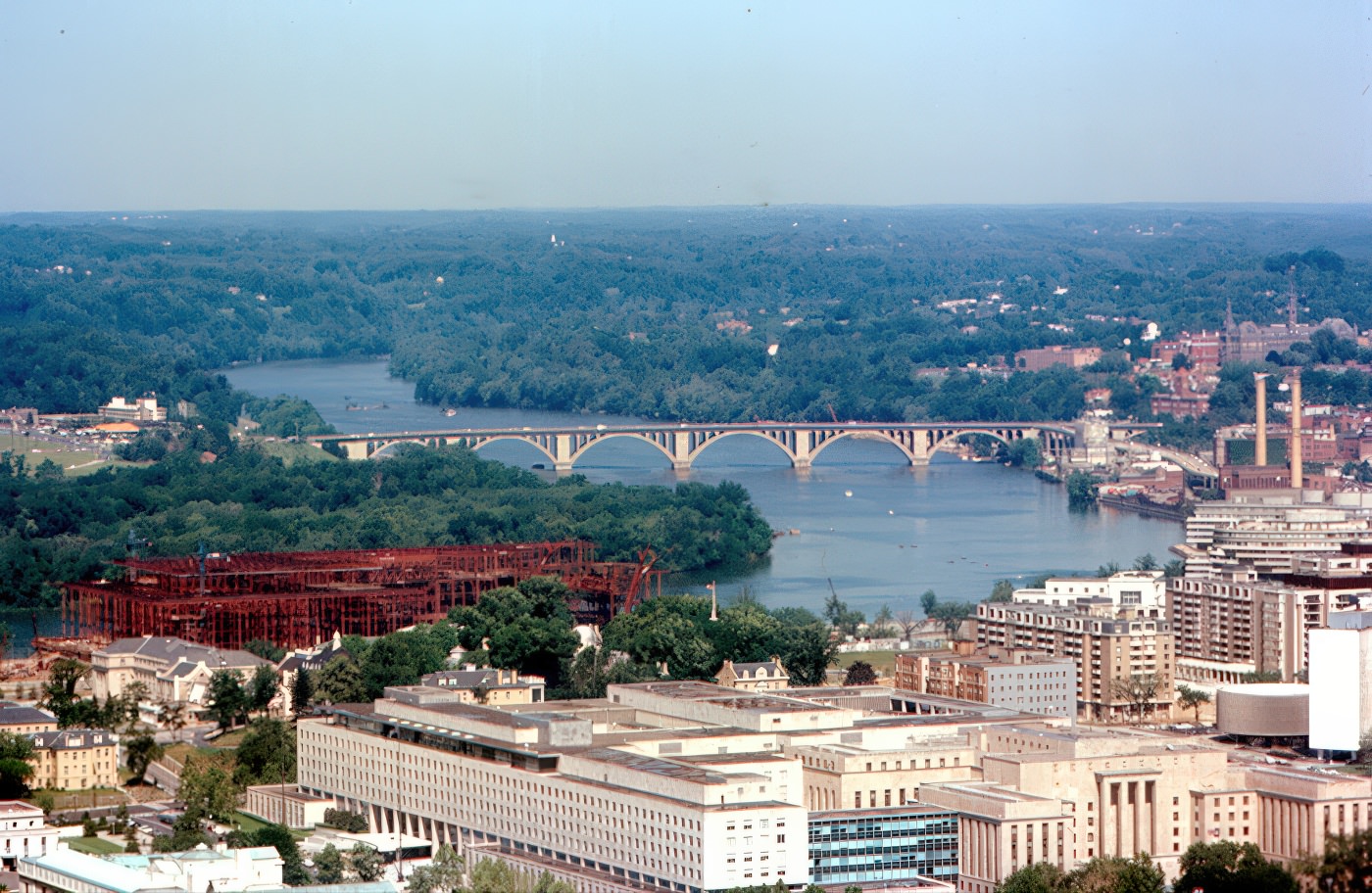
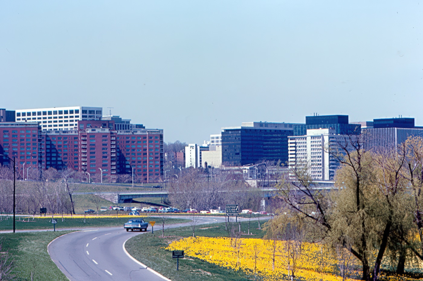
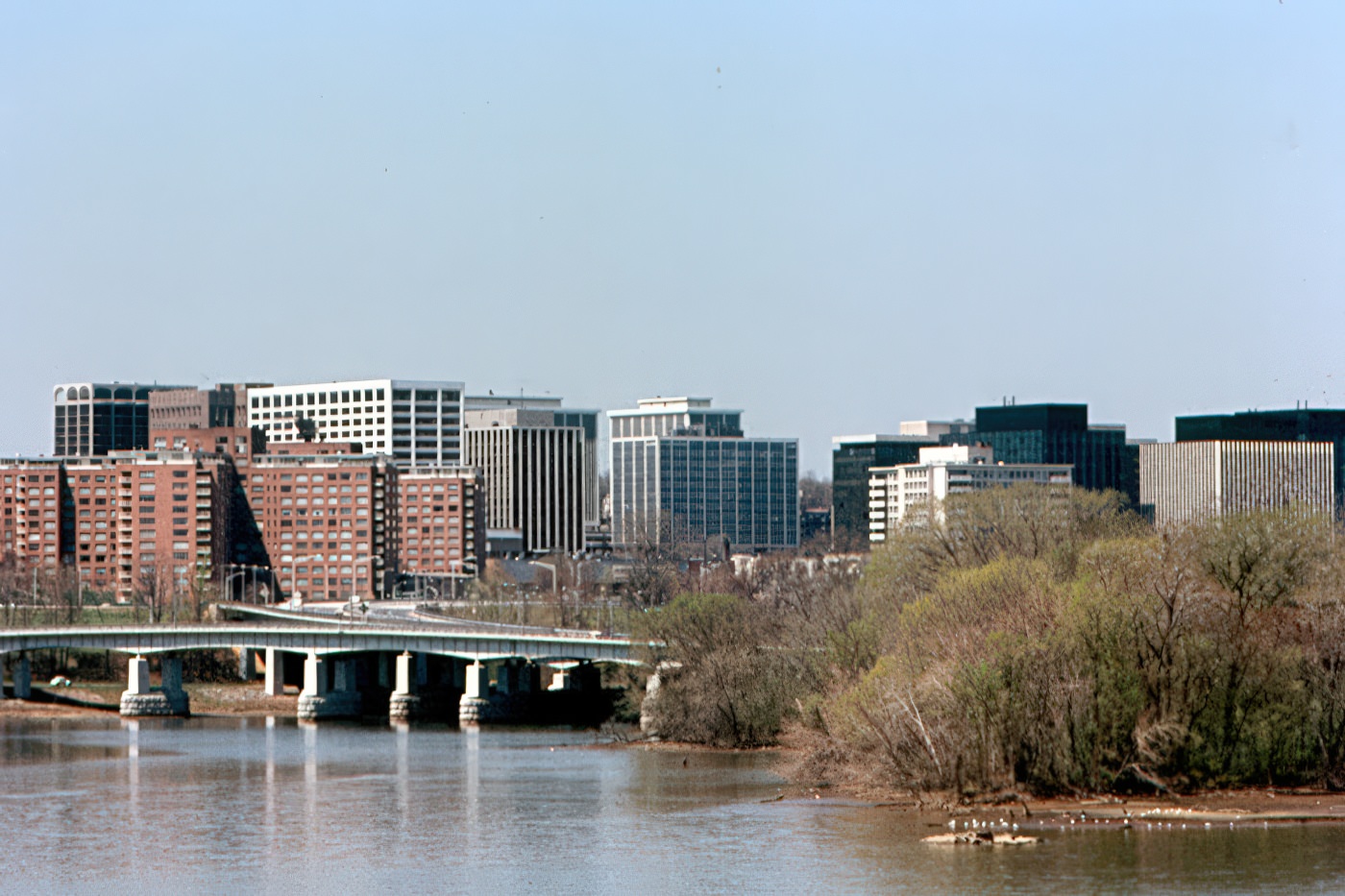
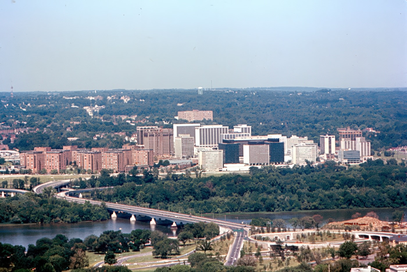
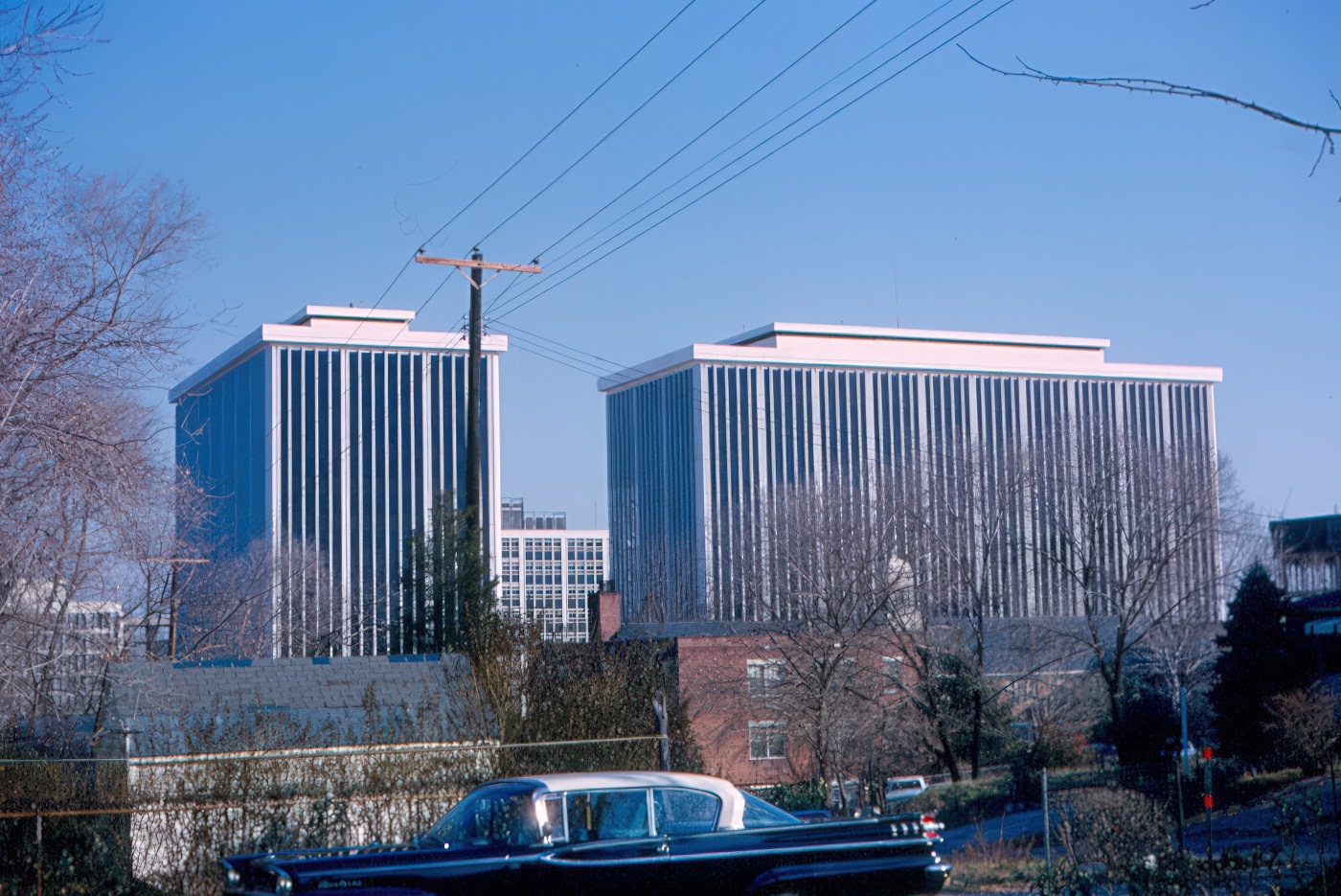
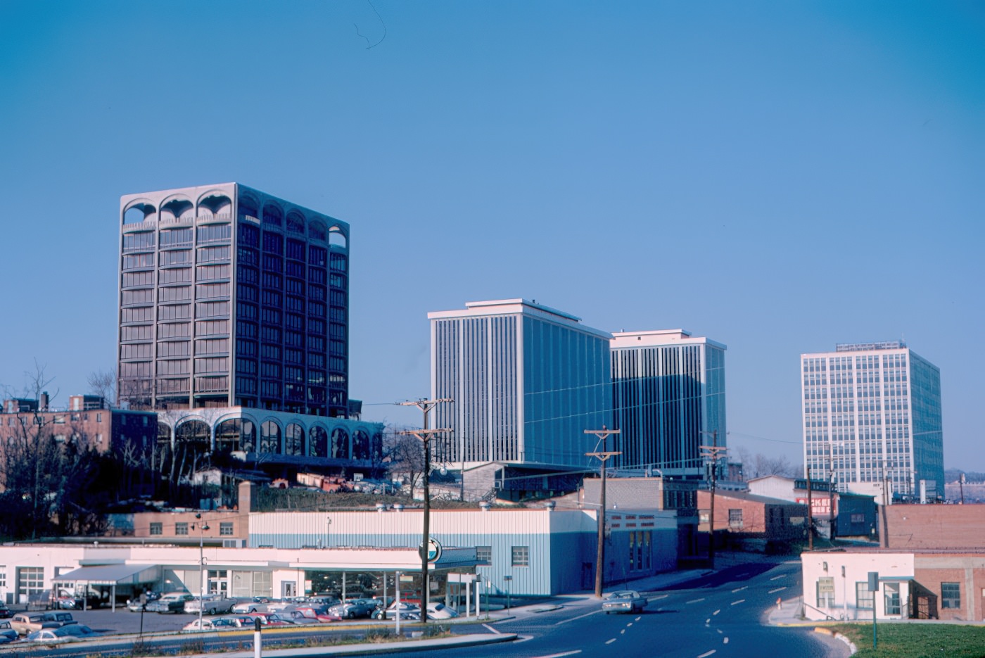
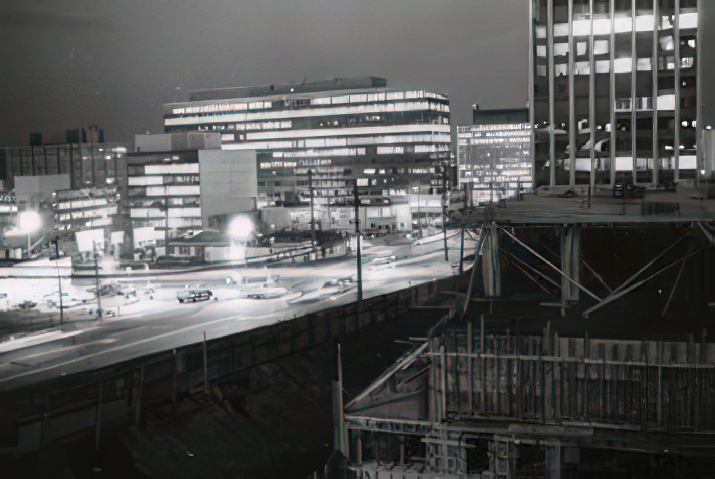
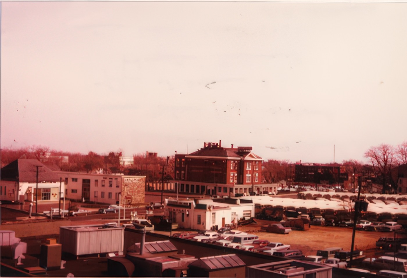
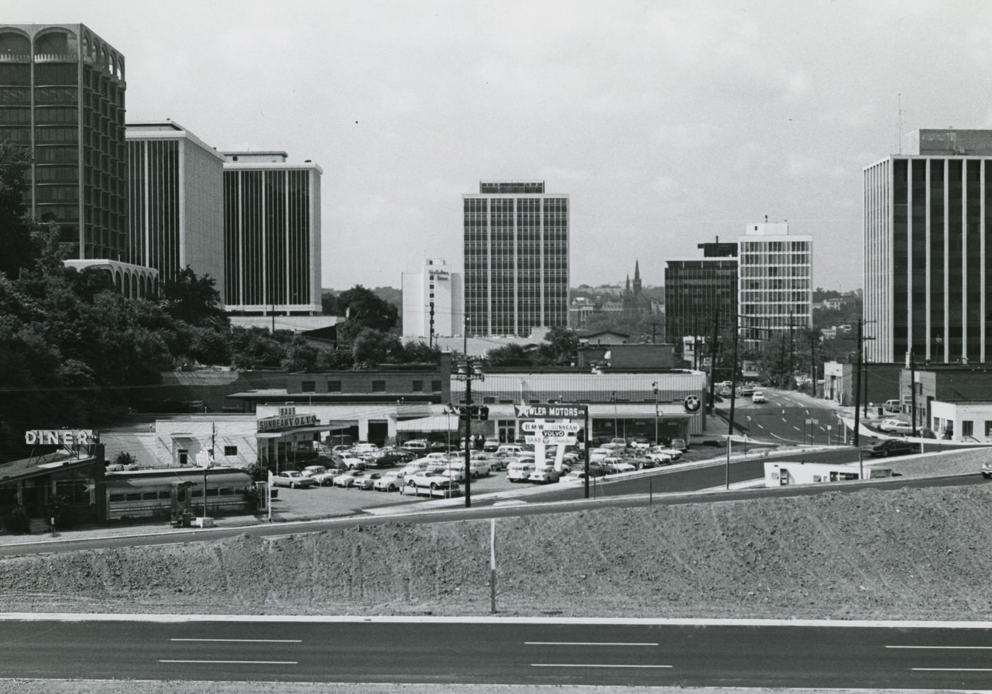
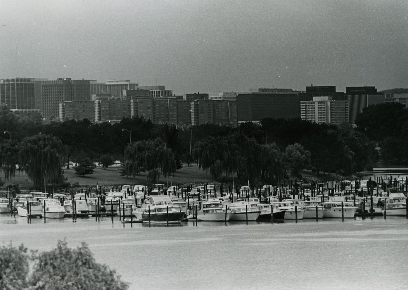
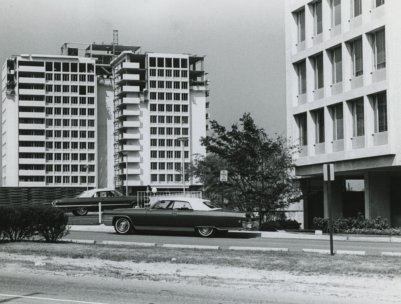
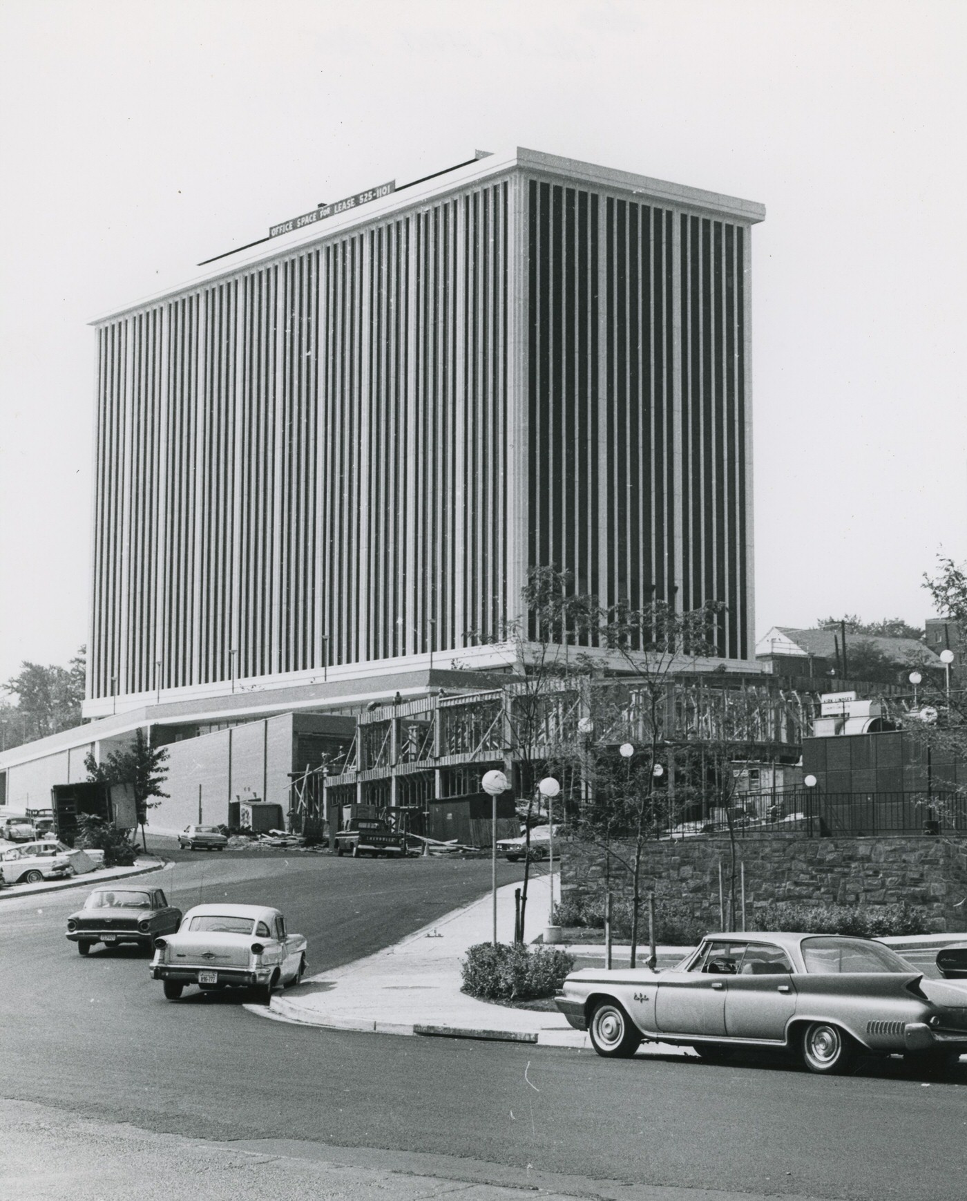
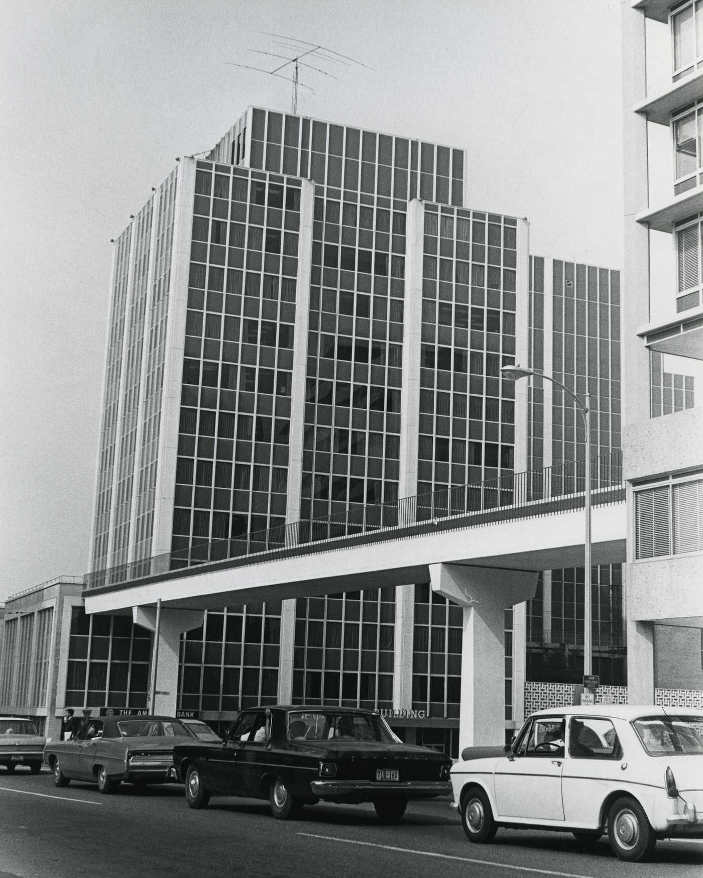
Rosslyn, previously an industrial area with lumber yards, cement plants, and fuel storage in the 1950s, began a significant transformation. The County changed its zoning from industrial to commercial office, allowing for taller buildings. By 1967, 19 skyscrapers were completed in Rosslyn. The RCA building, housing RCA’s computing center, was completed in 1956, marking the start of a new high-tech era for Arlington. The Defense Advanced Research Projects Agency (DARPA) also established its headquarters in a new Rosslyn high-rise.
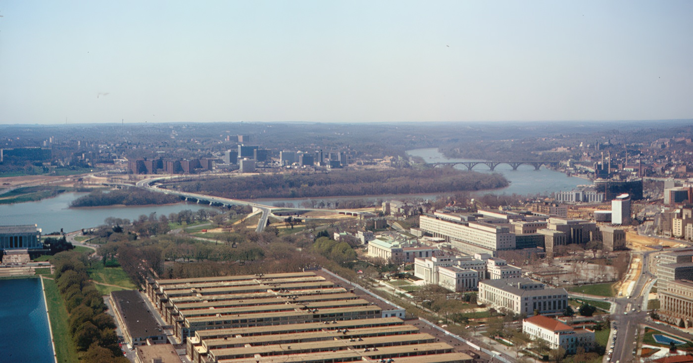
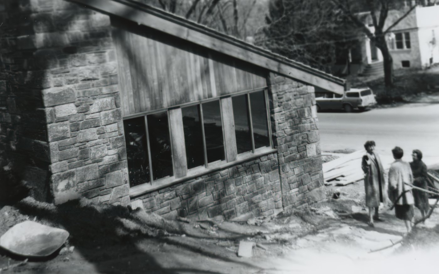
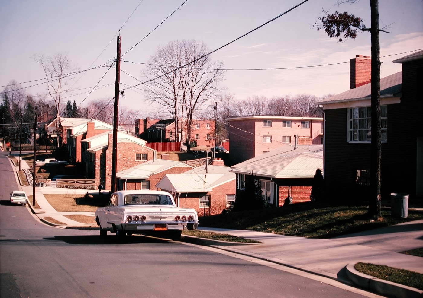
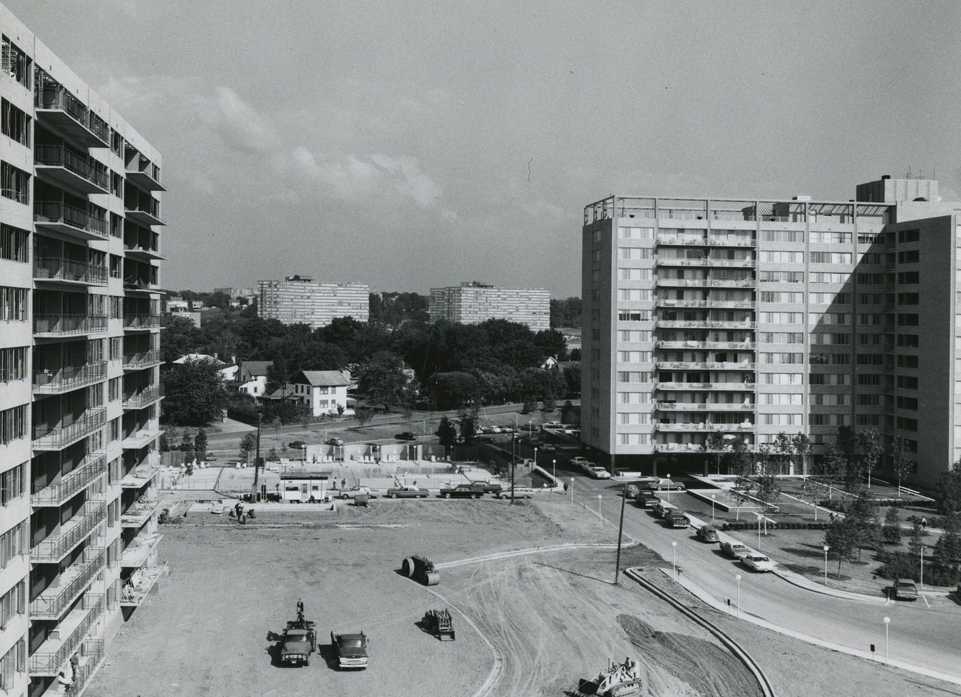
Crystal City also saw extensive construction in the 1960s, becoming an urbanized area with office and retail complexes. Its location near Route 1, the Pentagon, and National Airport made it ideal for development. This growth followed modernist planning principles, featuring superblocks that limited road connections, separation of transportation modes, and internal retail spaces. The U.S. Patent Office and the Institute for Defense Analysis moved to Crystal City late in the decade. Newer, contemporary-style homes, such as split-levels, were also built in areas like Arlington Forest in the late 1960s.
The transformation of Rosslyn and Crystal City in the 1960s represents a deliberate strategy to create distinct urban centers within Arlington. This move aimed to shift the county’s identity beyond being merely a “bedroom community.” The development of high-rise office buildings in Rosslyn and major office and residential construction in Crystal City indicates a proactive effort by the county to attract commercial activity and diversify its tax base. This was not simply random growth but a planned creation of new economic hubs, signifying a strategic move towards becoming an “edge city” with its own business and commercial districts.
A Changing Economy
By 1940, over half of Arlington’s employed adults worked for the federal government, a trend that continued into the 1950s. The federal government remained a primary employer. In the 1960s, Arlington County actively sought to attract commercial businesses. This effort aimed to reduce the county’s heavy dependence on federal government revenue and diversify its tax base.
While Arlington aimed to diversify its economy, the growth in technology and commercial sectors during the 1960s was still heavily tied to federal government contracts and defense industries. For example, the RCA building in Rosslyn, completed in 1956, housed RCA’s computing center, marking the beginning of a “new high-tech age” for Arlington. The Defense Advanced Research Projects Agency (DARPA) also established its headquarters in a new high-rise in Rosslyn.
Melpar, a significant technology company founded in 1945 in Northern Virginia, expanded its operations. By 1960, Melpar assembled missile equipment, flight simulators, radar systems, and data processing equipment. They also conducted advanced research in areas like artificial intelligence, medical devices (such as heart monitors), and space vehicle communication. Melpar helped fill a gap due to the lack of a technical university in the area. Other government contractors, including Atlantic Research, Vitro Laboratories, and Page Communications Engineers, also benefited from the growing defense sector. However, Melpar’s research, engineering, and production began to decline in the mid-1960s as government budget priorities shifted towards social programs. The aerospace and defense industry remained a significant presence, with major companies like Boeing and Raytheon having headquarters or operations in Arlington. New office spaces in Crystal City were frequently leased by defense contractors and the Department of Defense itself. This indicates that while the county sought new revenue streams, its economic identity remained deeply intertwined with its proximity and service to the federal government.
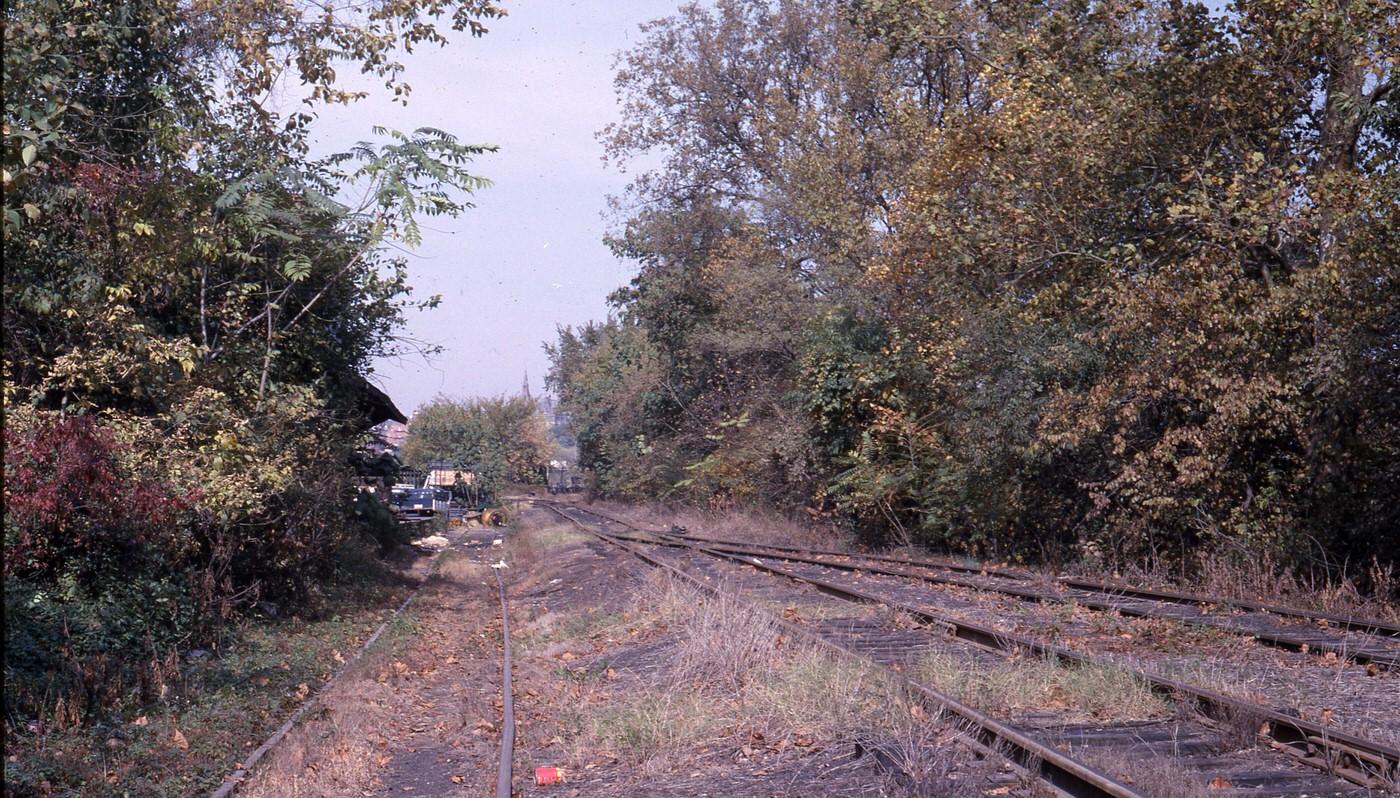
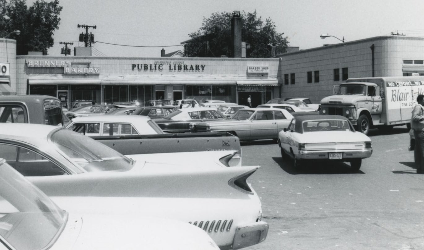
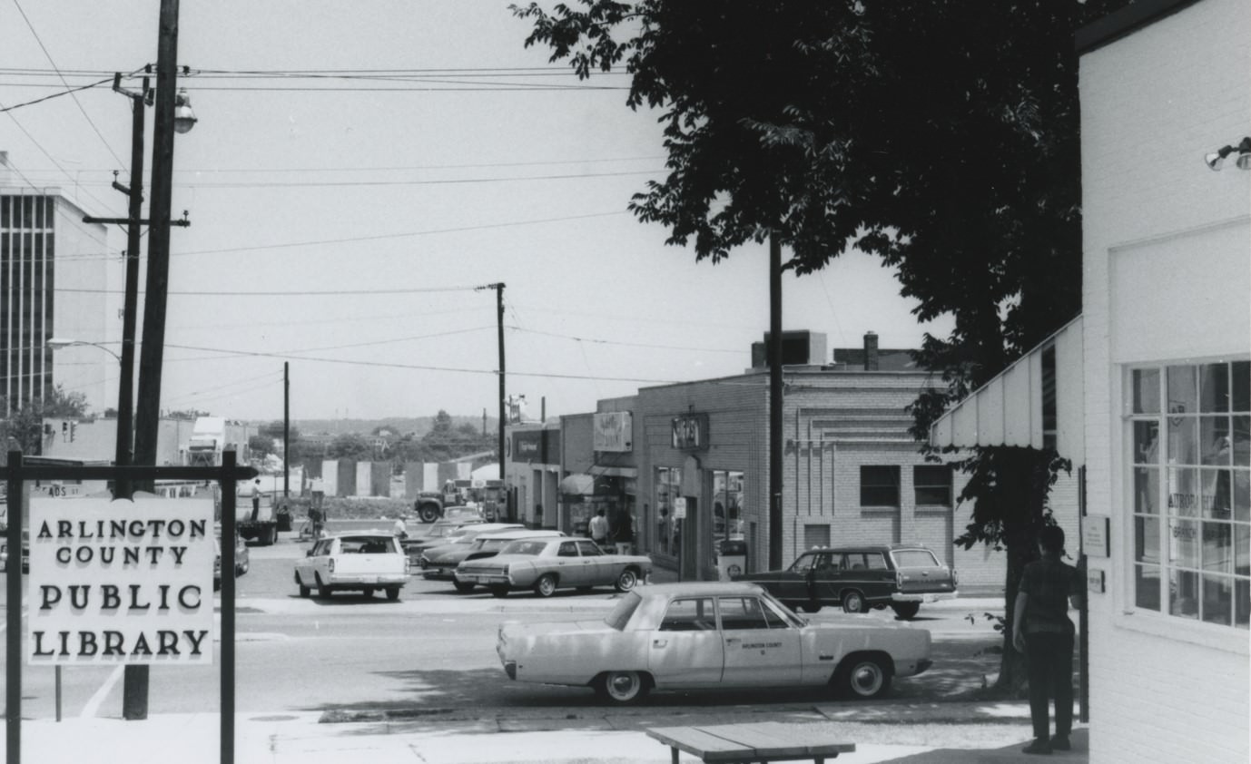
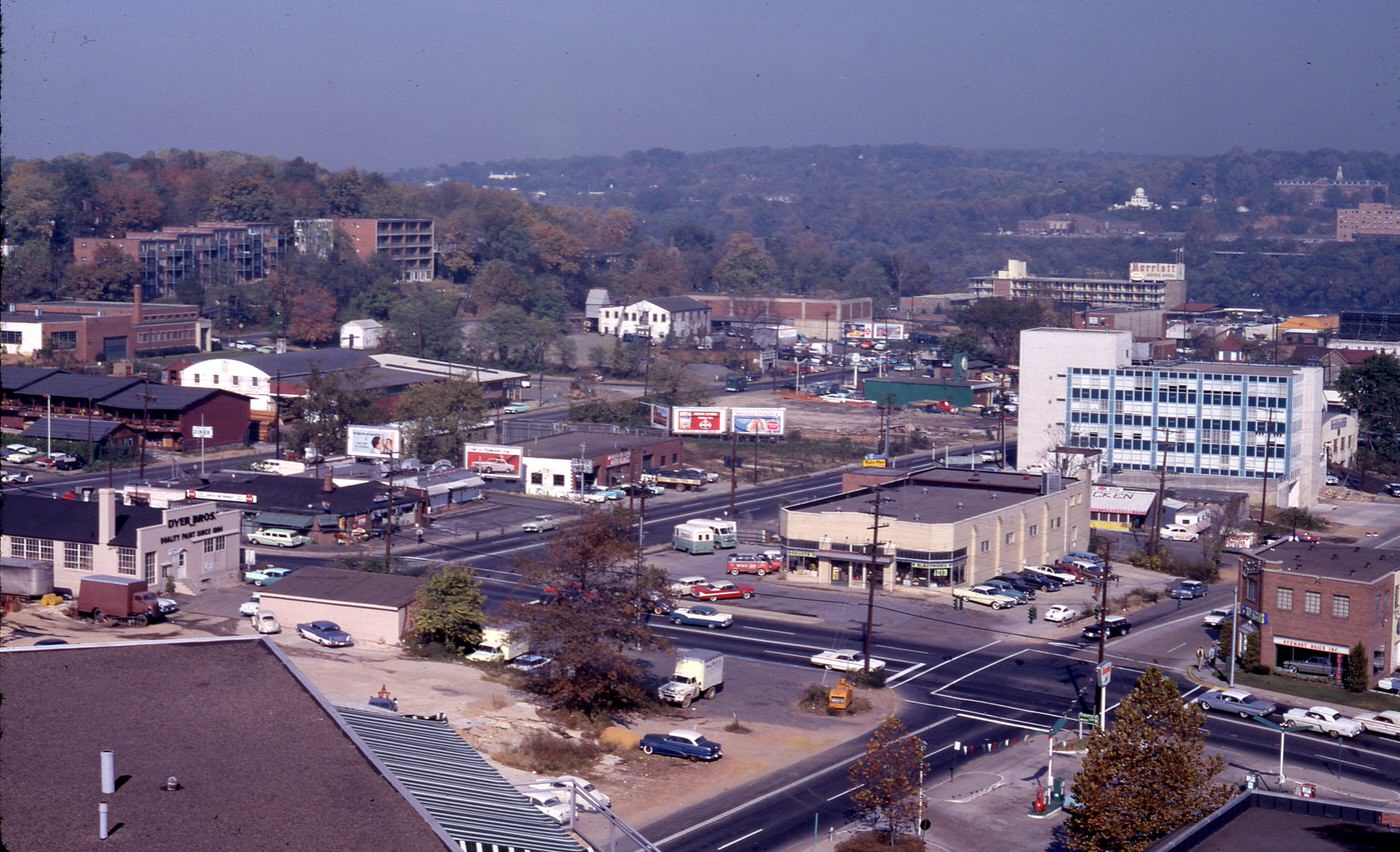
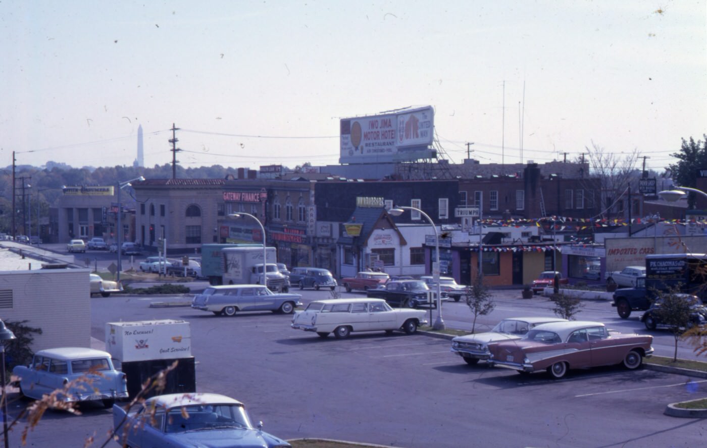
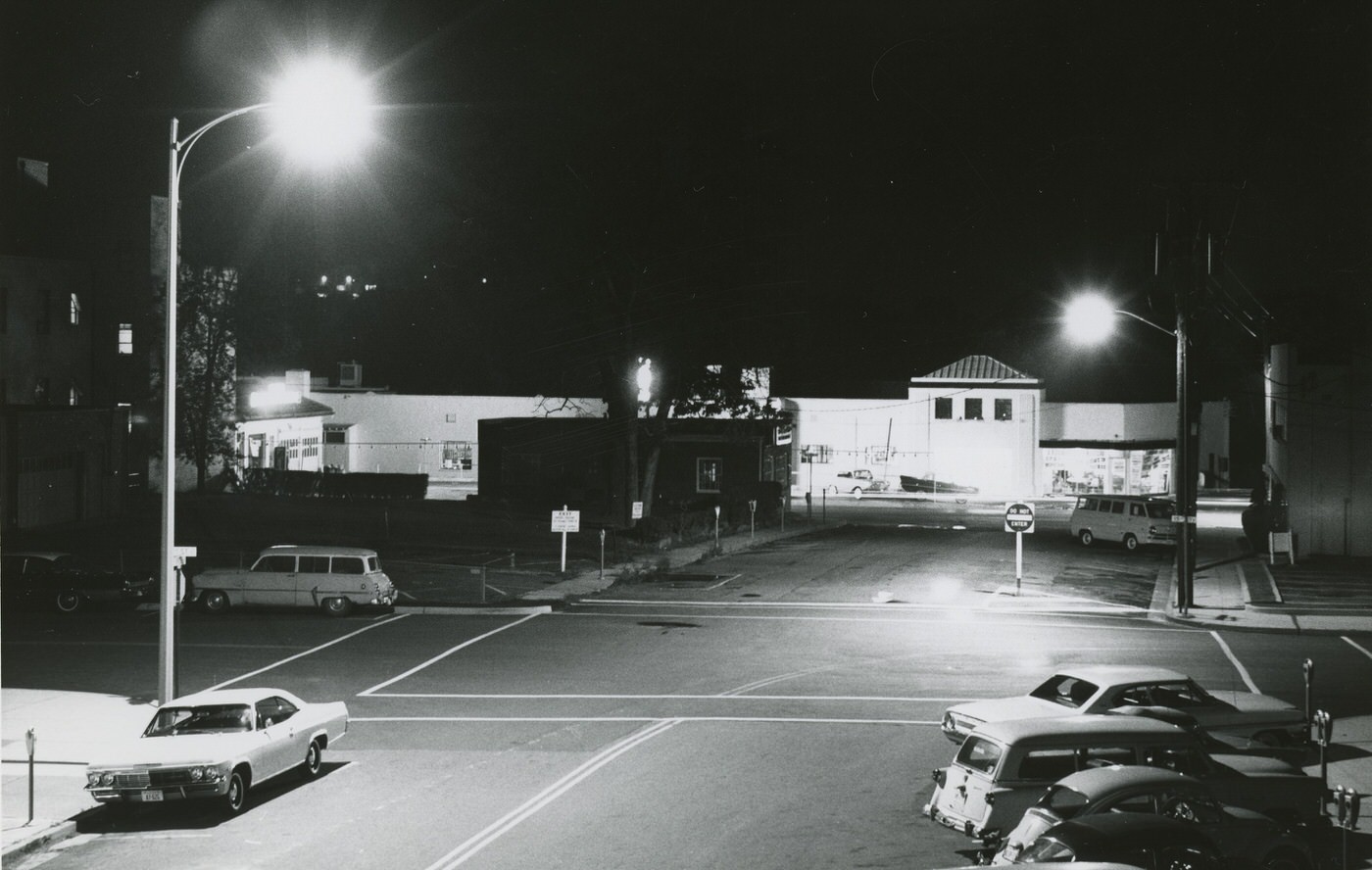
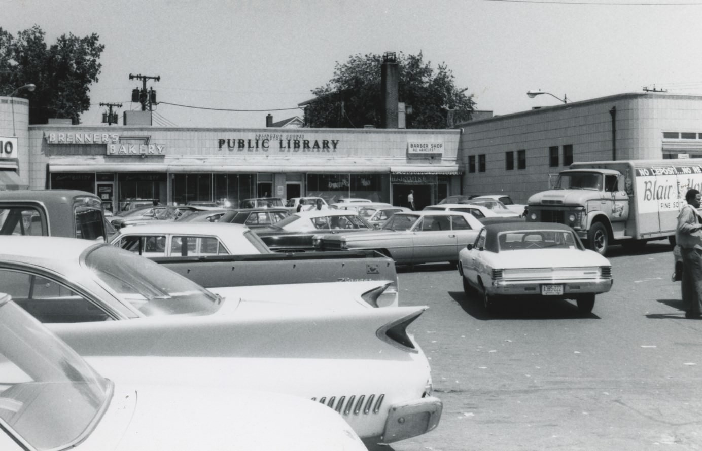
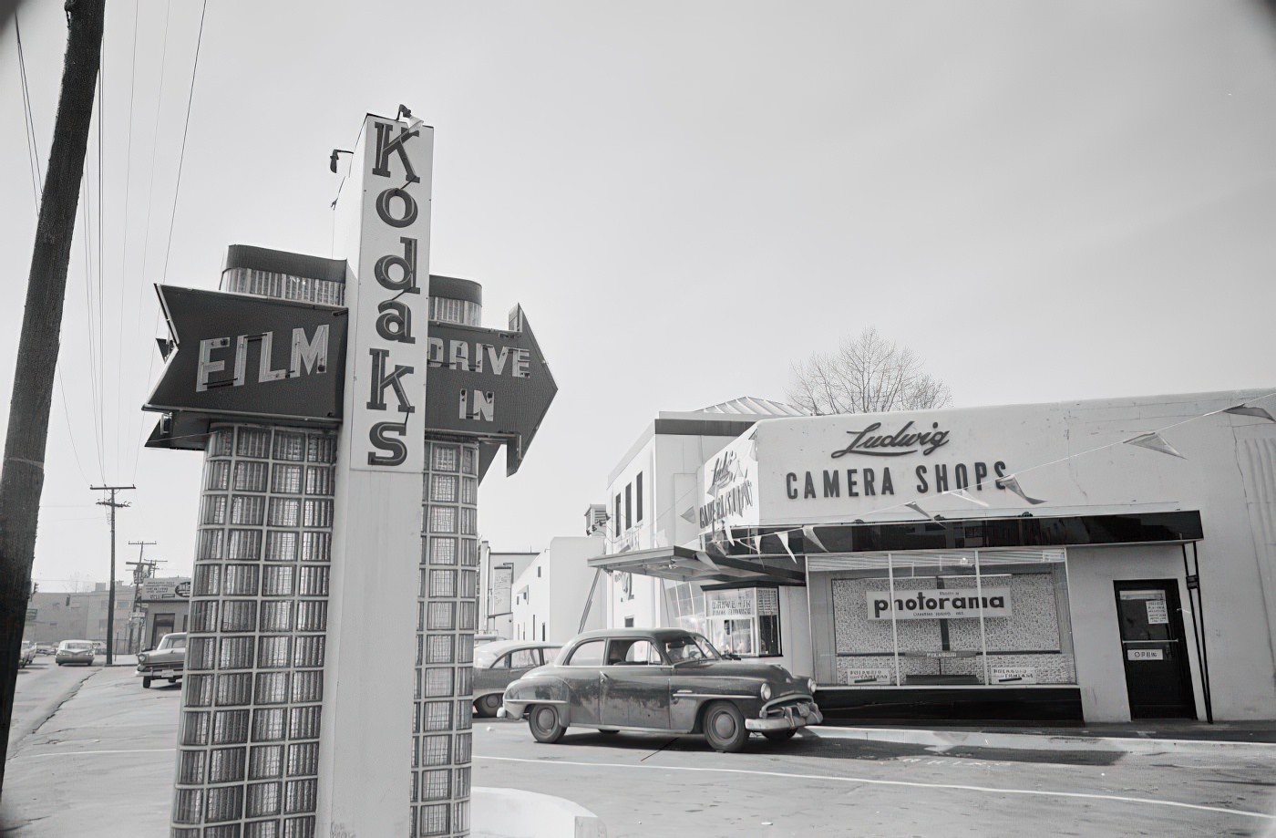
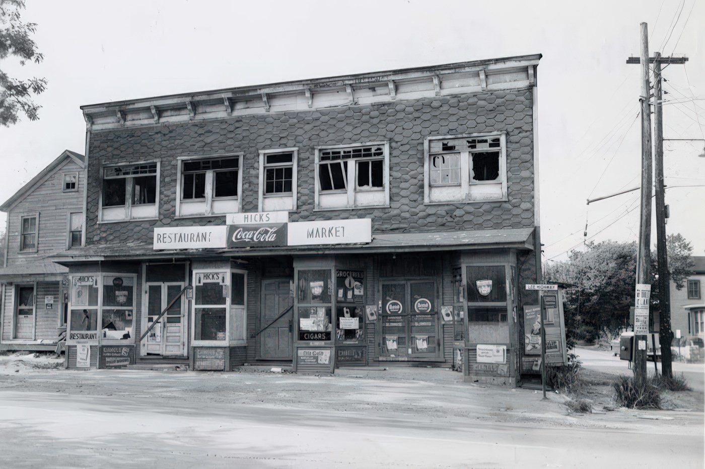
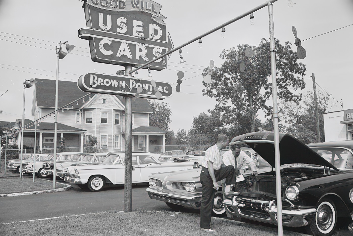
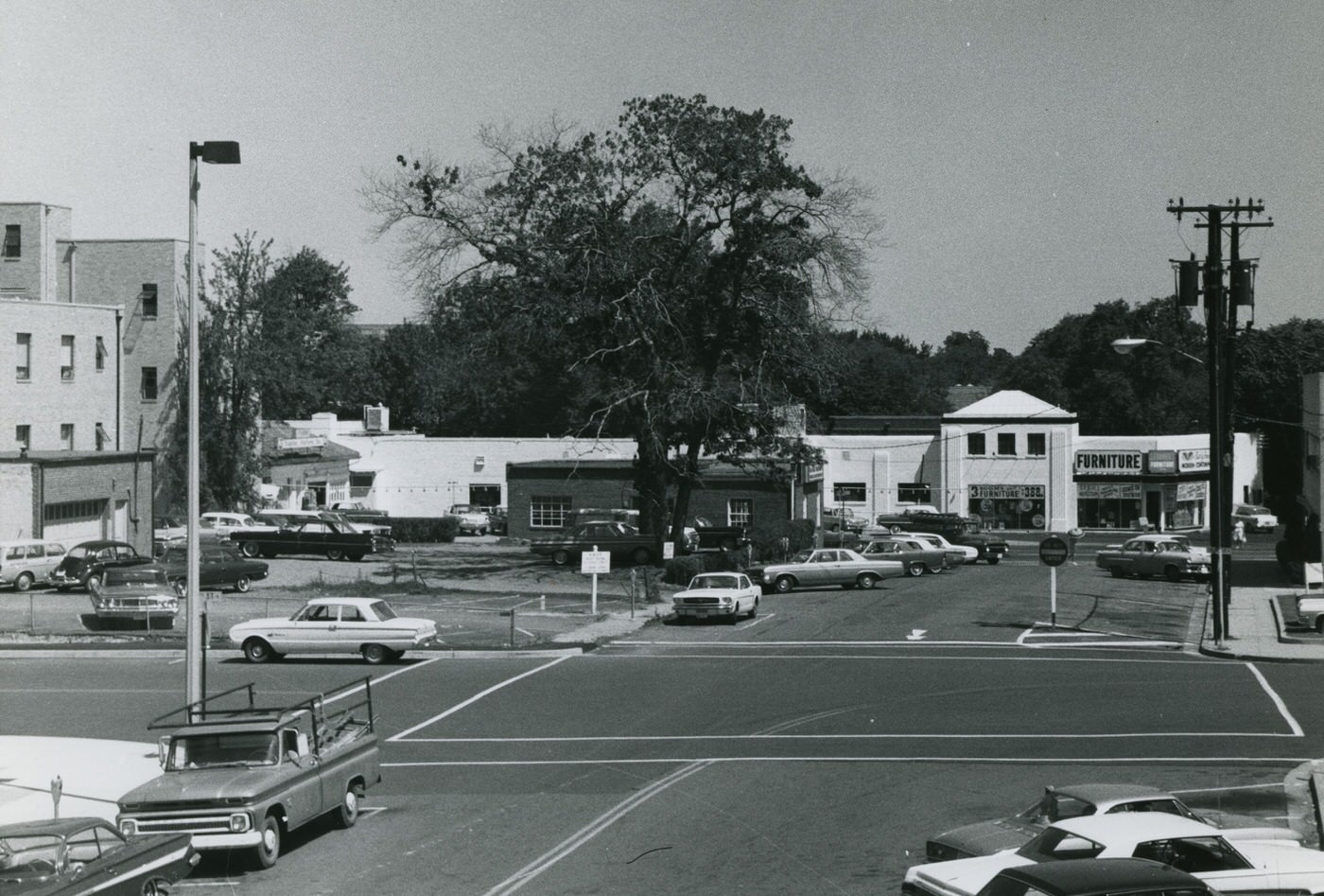
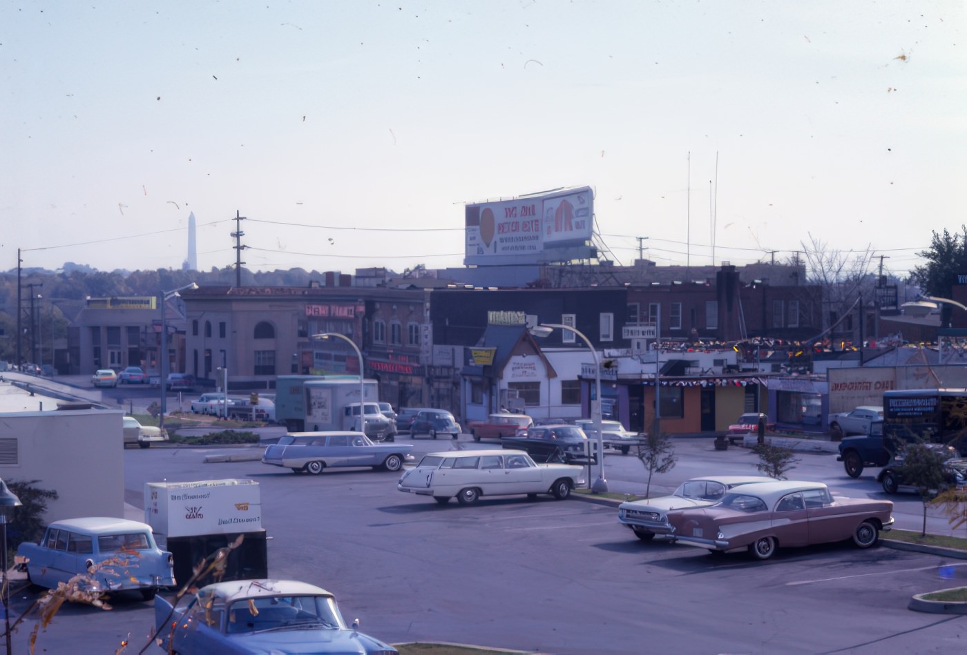
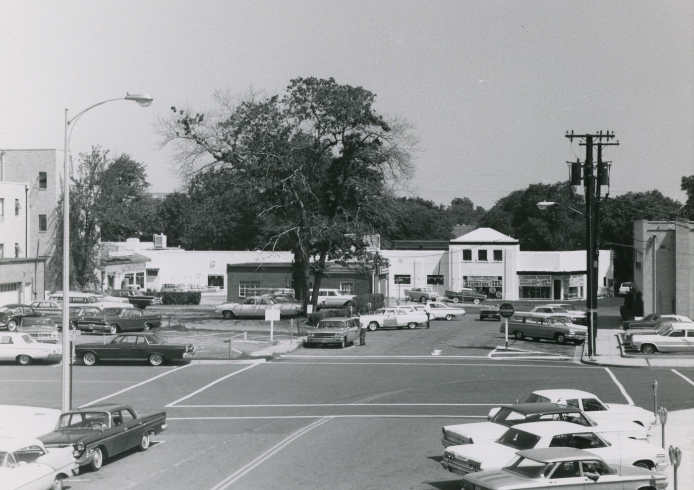
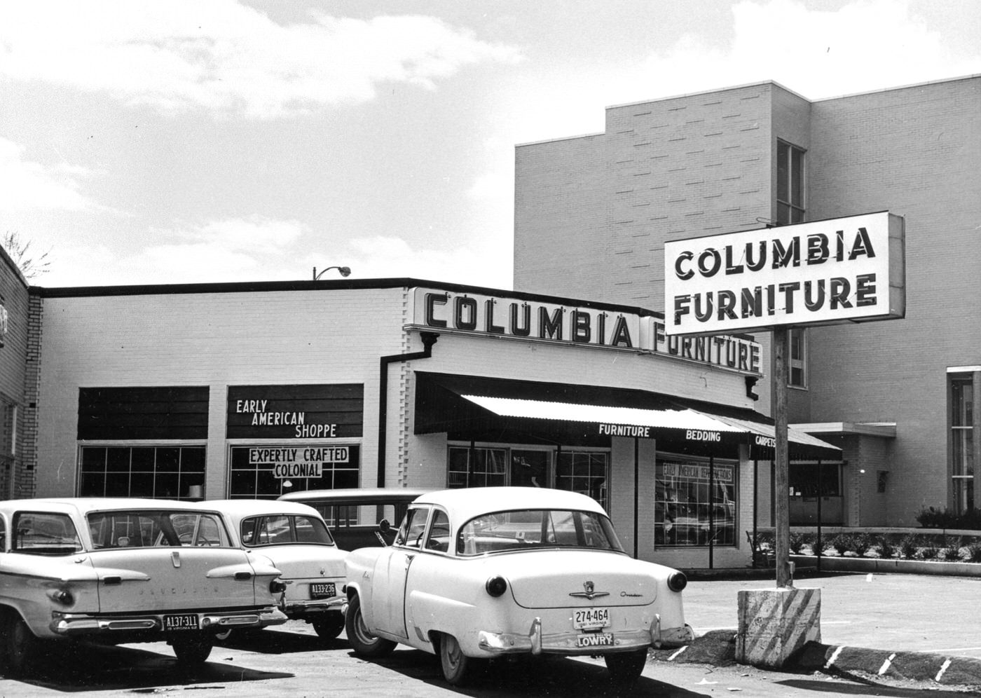
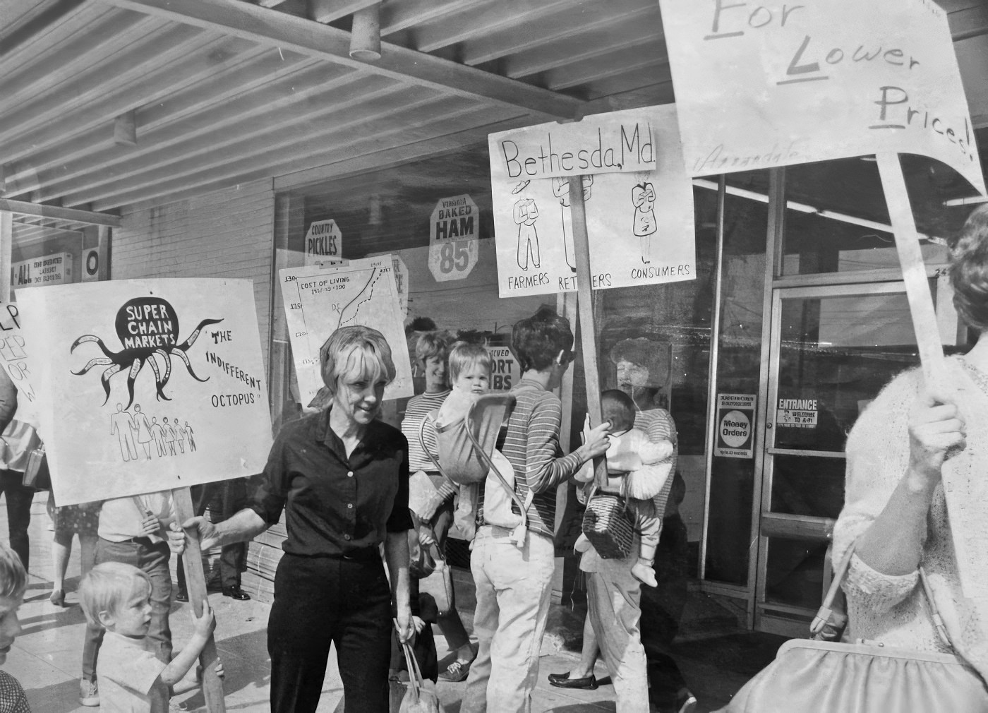
Older business districts, such as Clarendon, faced difficulties due to traffic congestion, insufficient parking, and competition from newer suburban malls. Clarendon, once Arlington’s main commercial hub, experienced a decline in the 1960s and 1970s, with many businesses relocating and storefronts becoming empty. This decline was largely due to competition from regional shopping malls and aging infrastructure. The struggle of older commercial areas like Clarendon directly prompted urban planning efforts to revitalize these corridors through transit-oriented development. Arlington’s leaders recognized this struggle and saw the Metro as an “excellent opportunity to turn… into a magnet for growth and economic development”. The plan to route the Metro through these corridors and encourage mixed-use development was a direct strategic response to the economic decline of these areas.
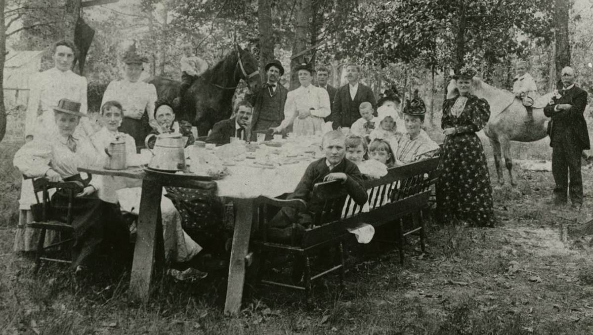
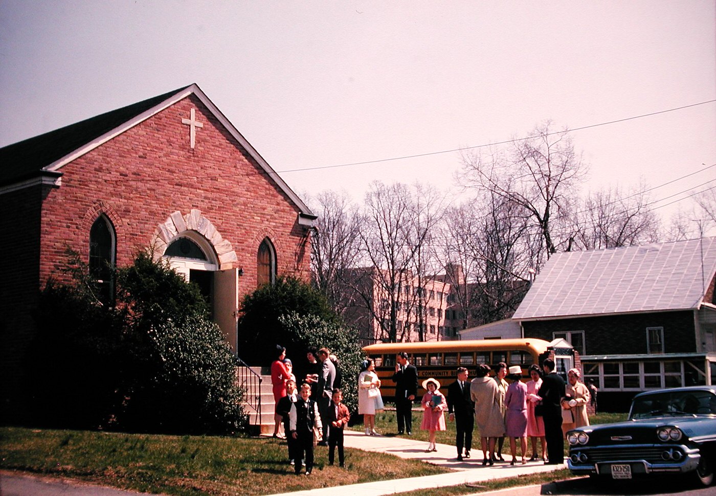
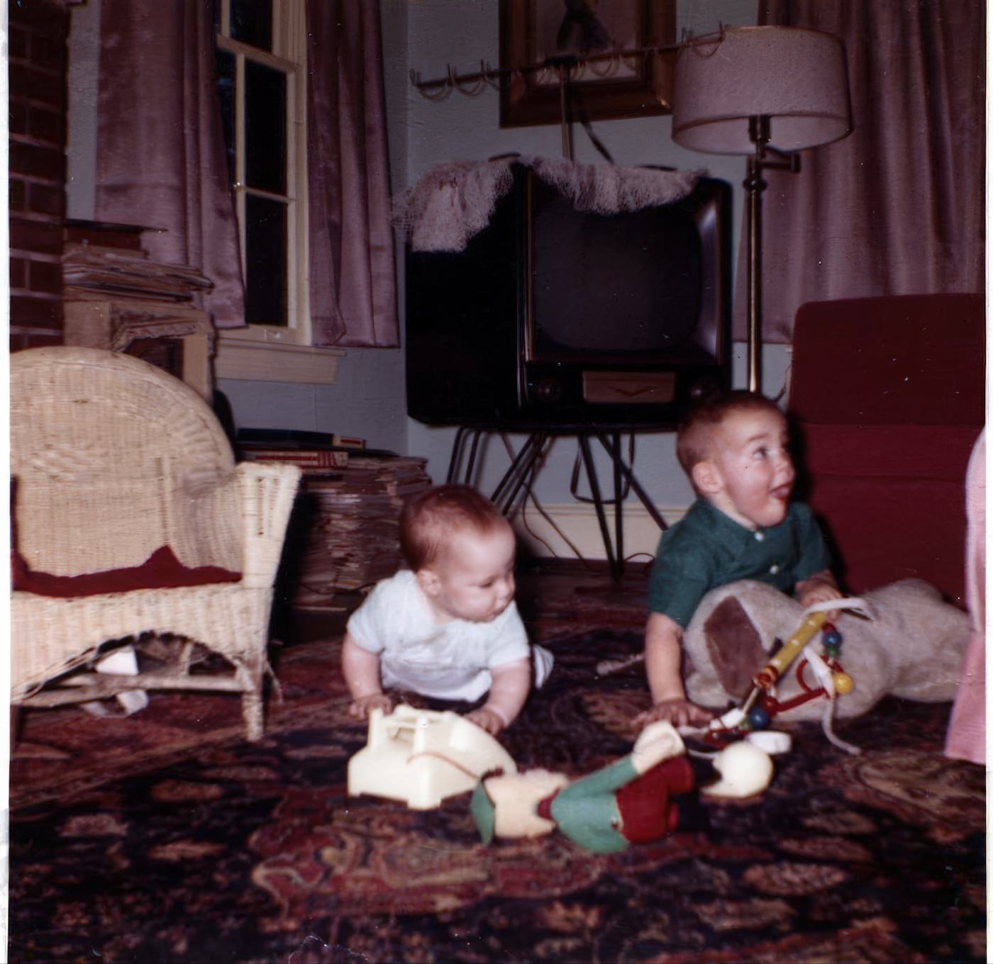
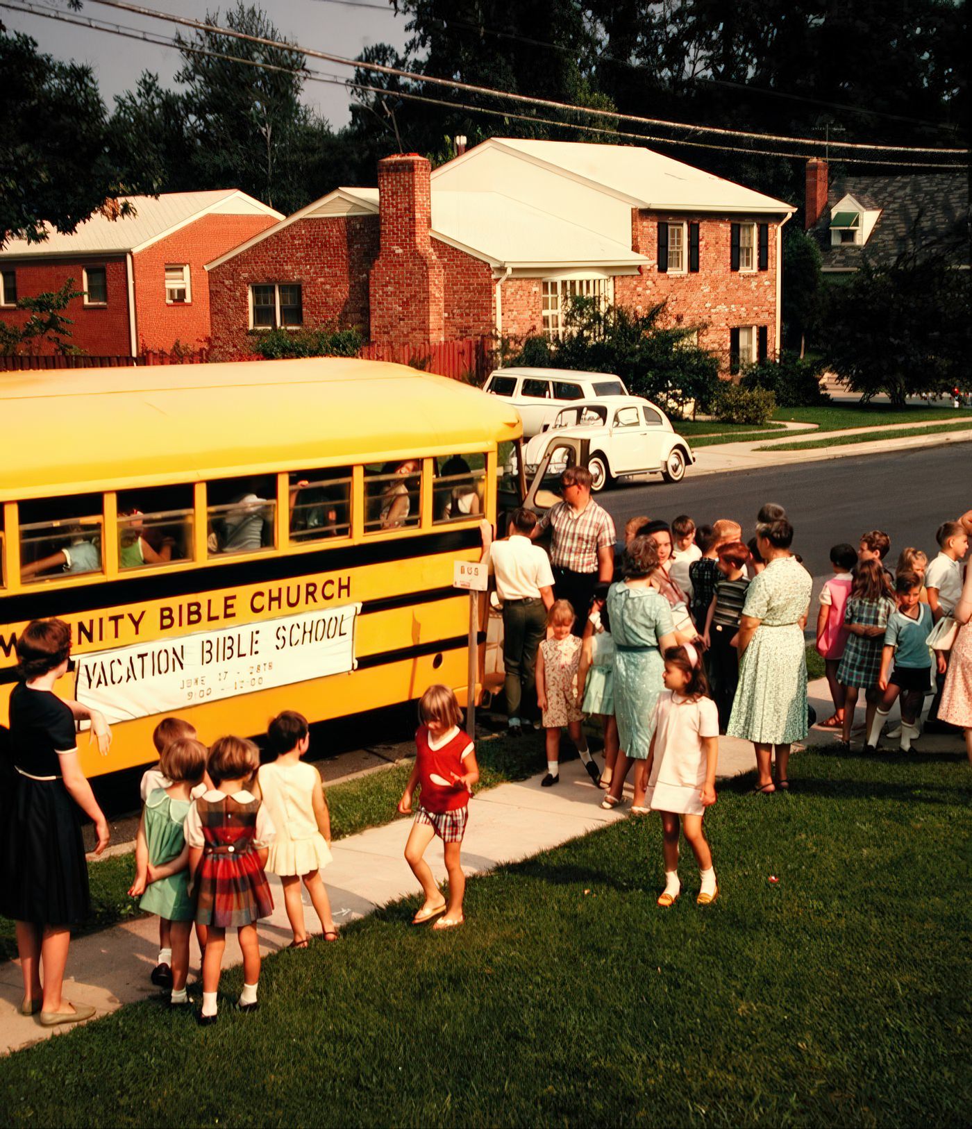
Daily Life and Community Spirit
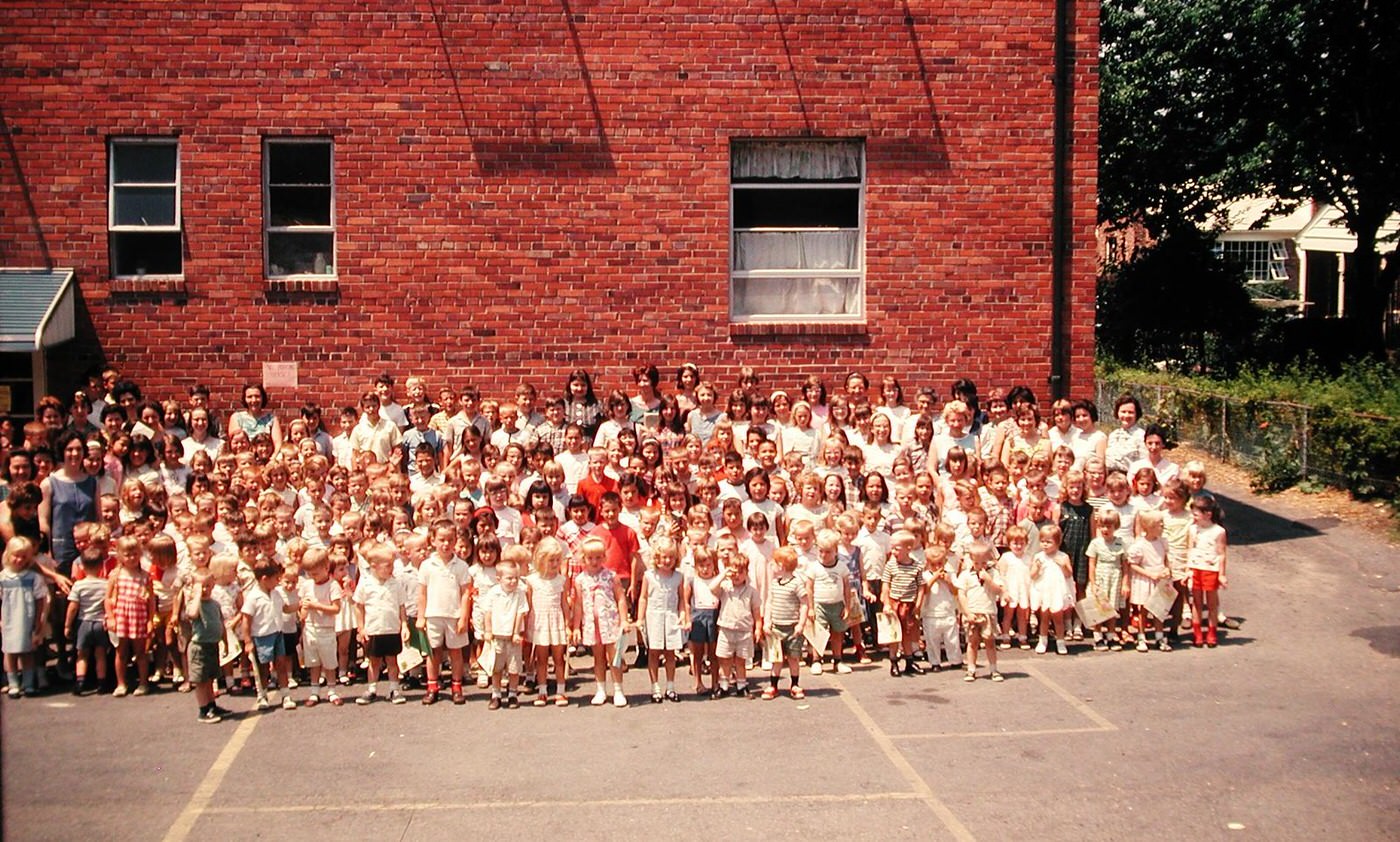
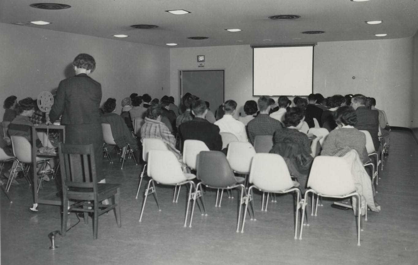
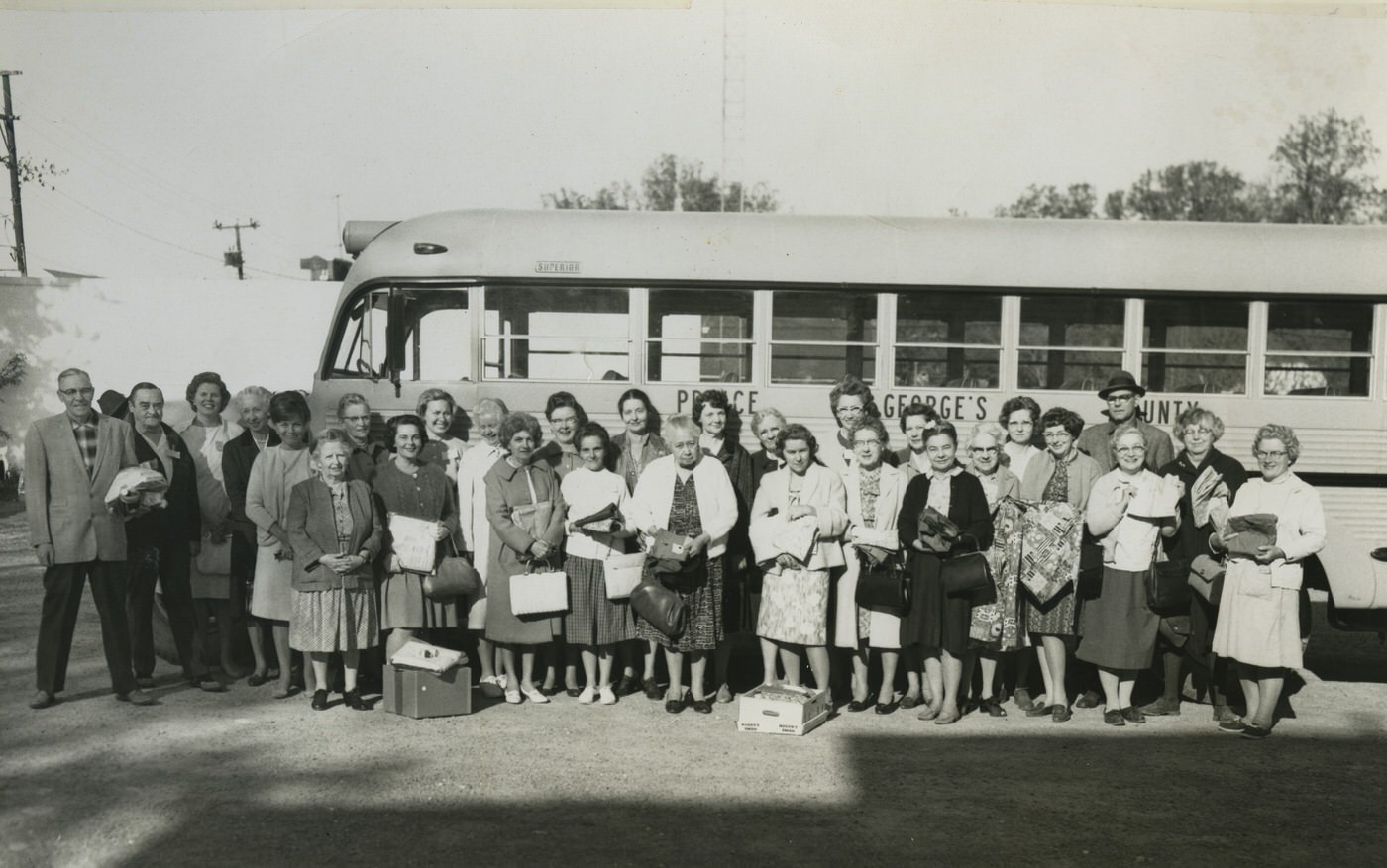
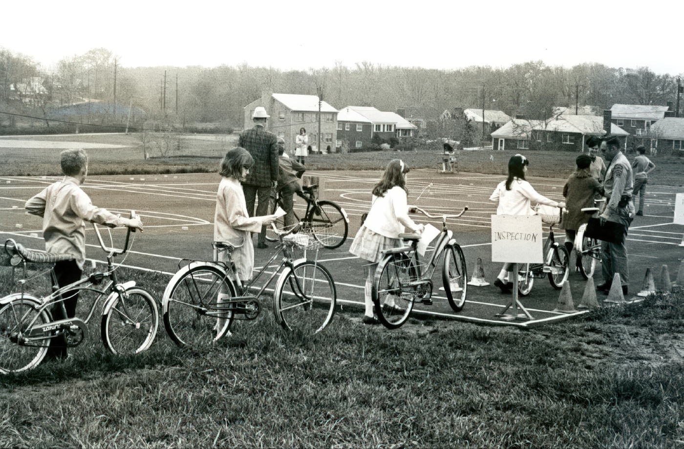
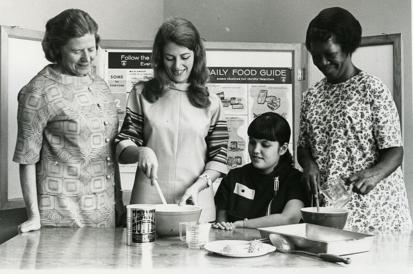
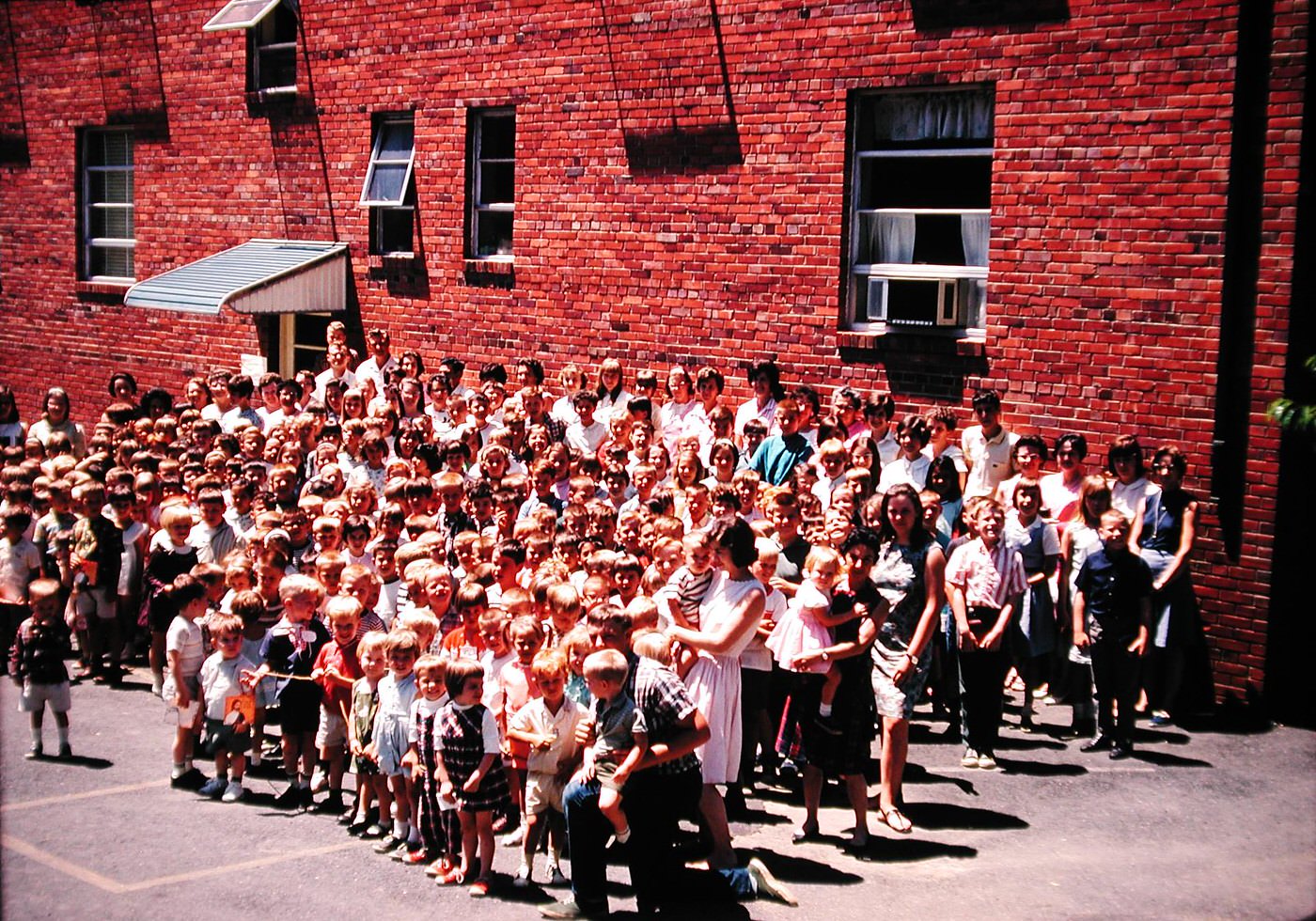
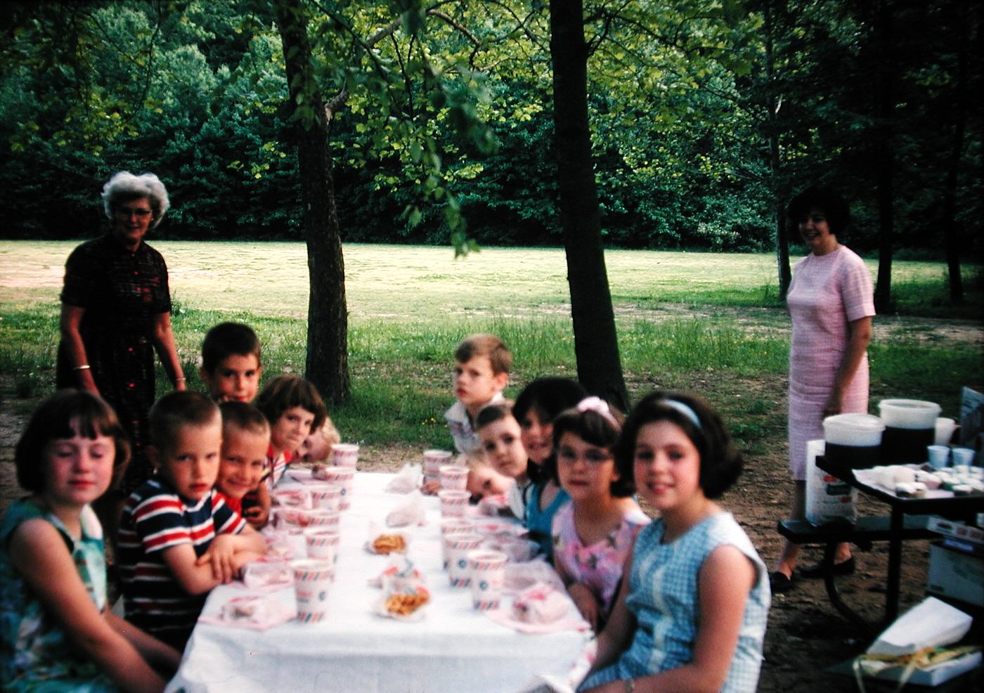
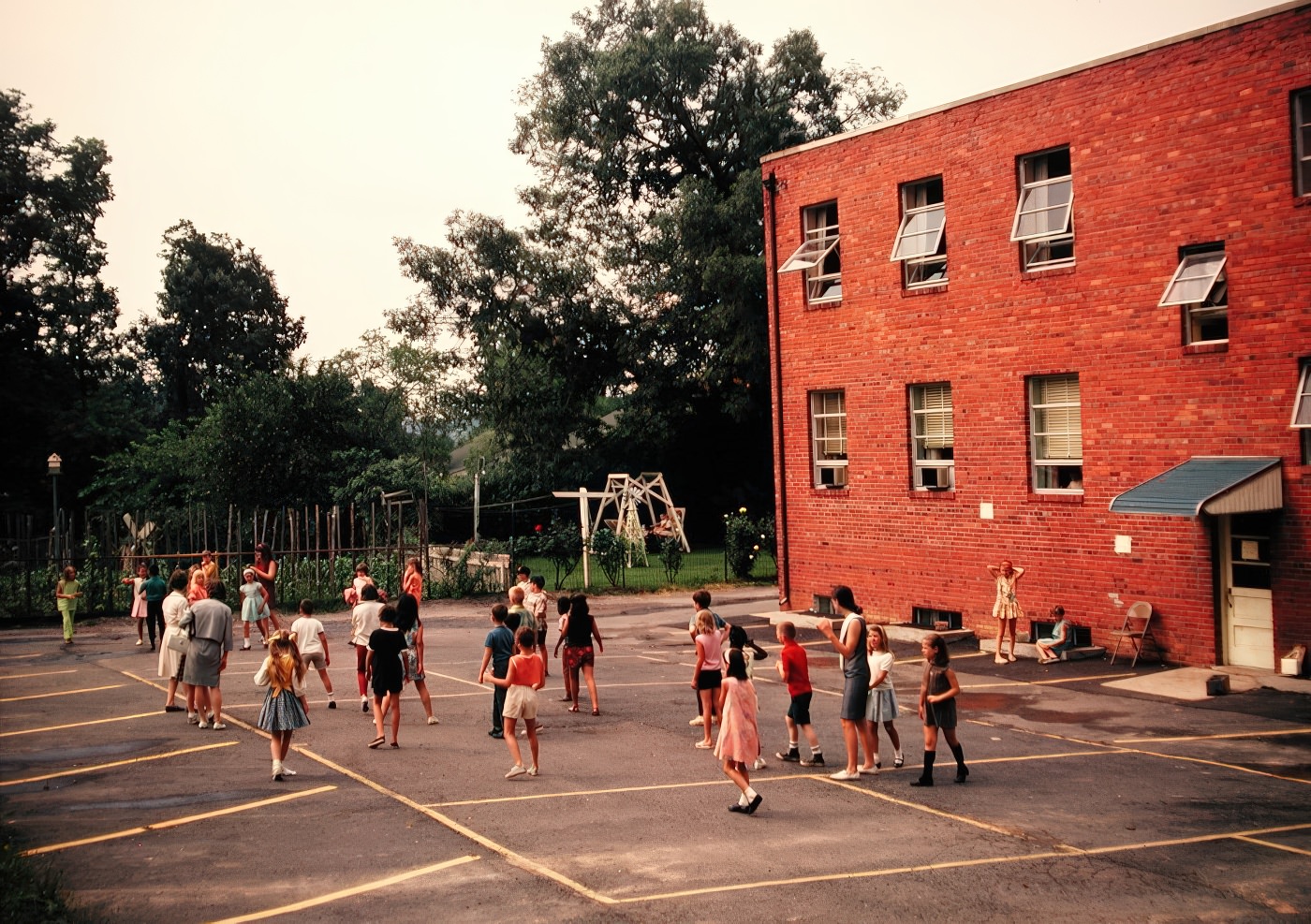
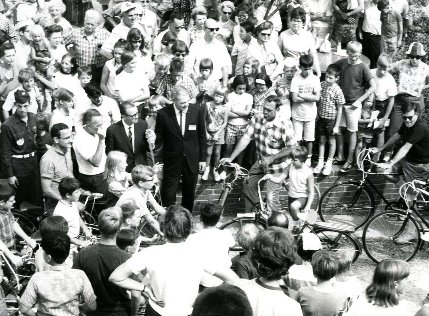
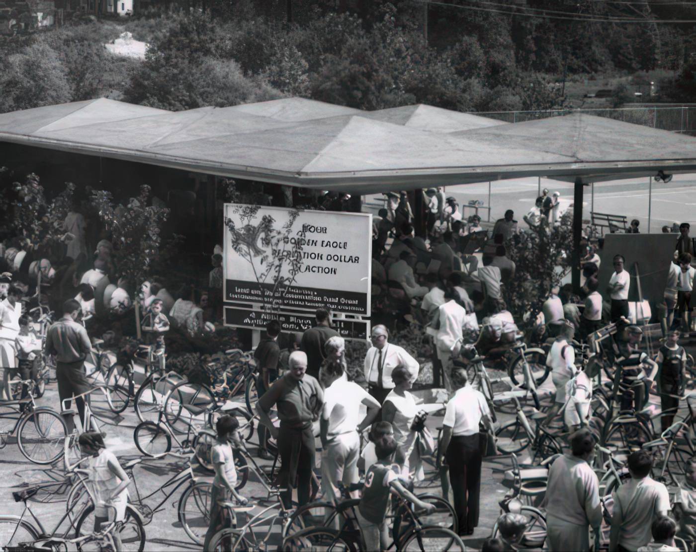
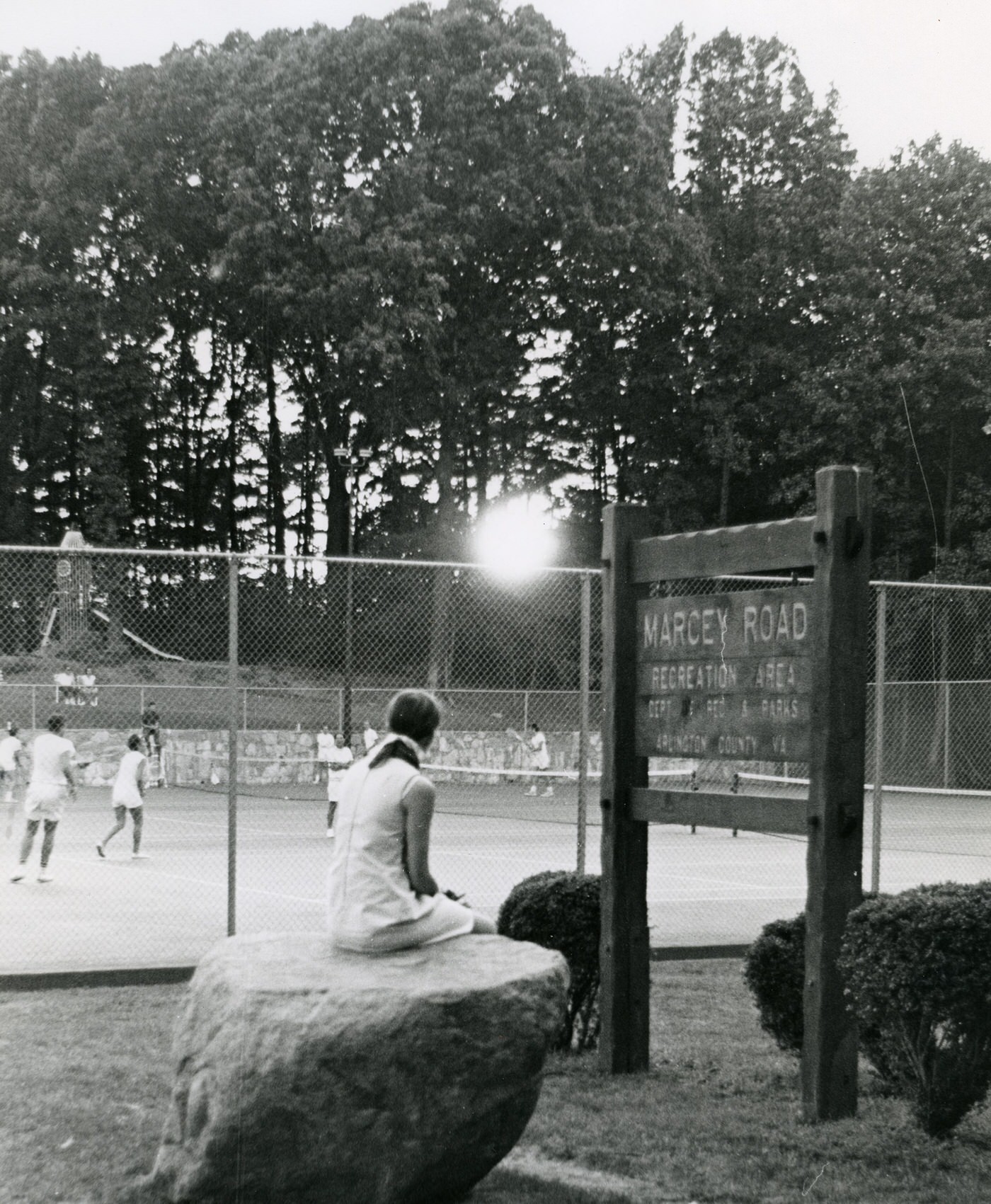
The Department of Parks and Playgrounds was established in Arlington in 1944. In 1951, the county opened its first recreation center, the Arlington Recreation Center, located in the converted Henderson House. Virginia’s first public recreation program for senior adults, the Silver Age Club No. 1, was established in Arlington in 1954. The Lubber Run Community Center opened its doors in 1956. By 1960, Arlington offered its first therapeutic recreation playground for children with disabilities. The Department also sponsored its first free outdoor performance series at Lubber Run Park and started summer day camps for children in 1959. Community swimming pools, such as the Donaldson Run Recreation Association pool, opened in 1958, becoming one of the first in Virginia and fostering stronger community ties.
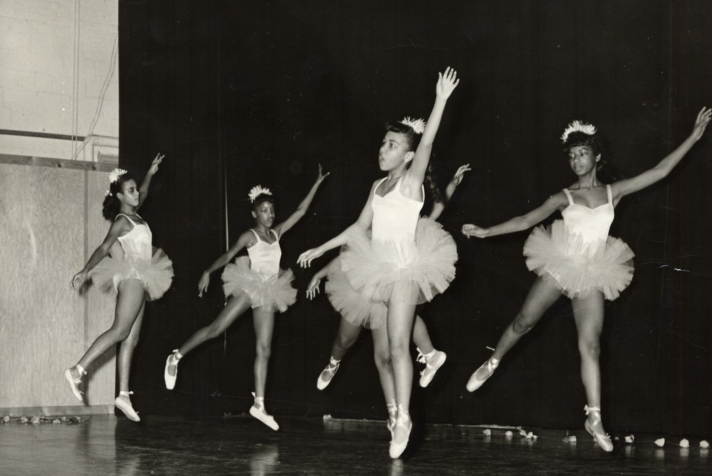
The Department of Parks and Recreation officially desegregated in 1962, allowing all residents to participate in its community offerings. Before this, a “Negro Recreation Section” provided separate programs for African Americans, often at the Langston Recreation Center or Hoffman-Boston School. Despite official desegregation, a significant disparity remained in access to facilities like swimming pools for African American children. African American children in Arlington still lacked access to swimming pools in the early 1960s. The Veteran’s Memorial Branch YMCA, which Black residents had opened in 1949, raised funds to open the county’s first pool accessible to Black children in the mid-1960s. This shows that official policy changes did not immediately translate to equal access or the provision of equivalent public amenities for all residents.
Local celebrity Jimmy Dean, a country music singer and TV host, lived in Arlington in the 1950s and early 1960s, broadcasting from WARL radio. His show, “Country Style,” was the first nationally televised non-news show to originate from D.C.. Children in Hall’s Hill engaged in trick-or-treating, sometimes venturing into white neighborhoods for more candy.

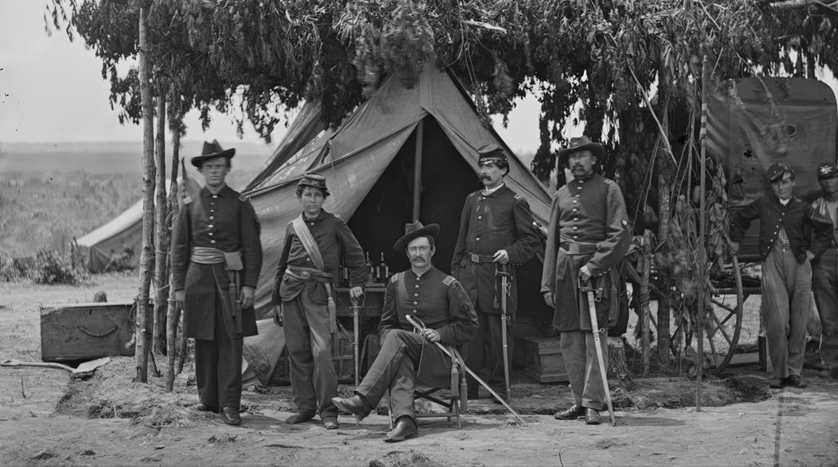
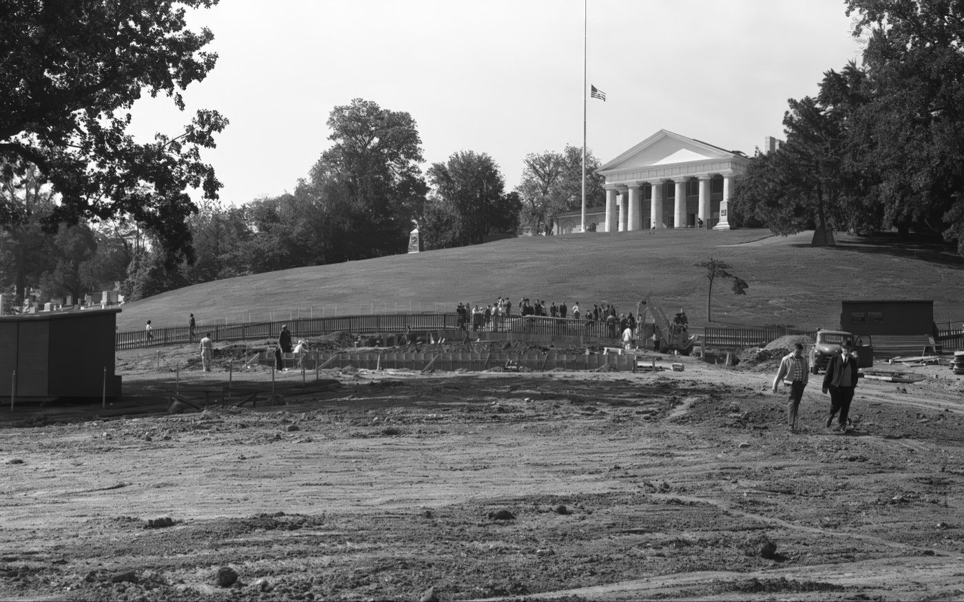
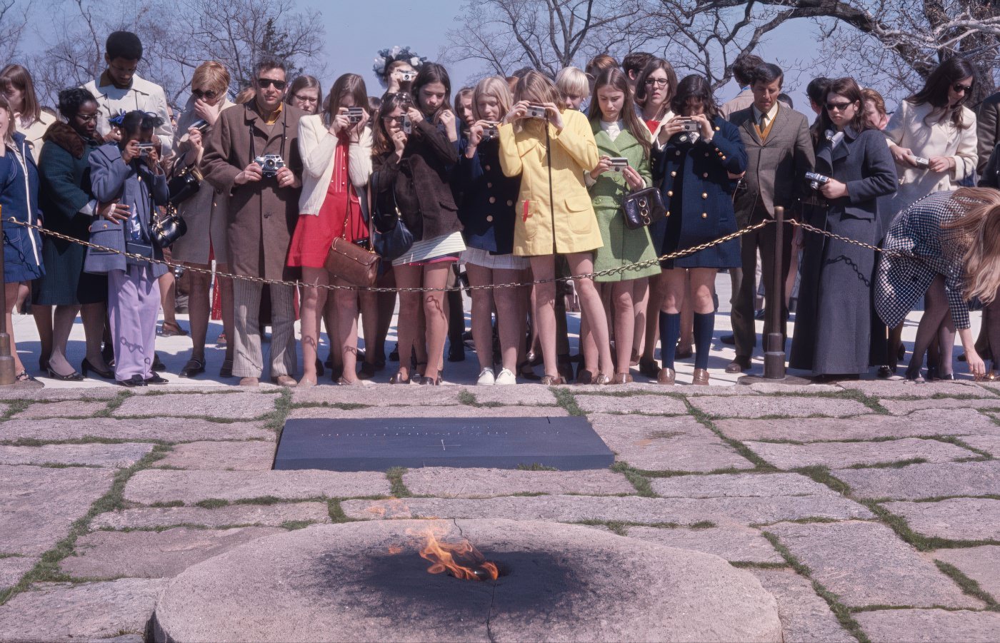
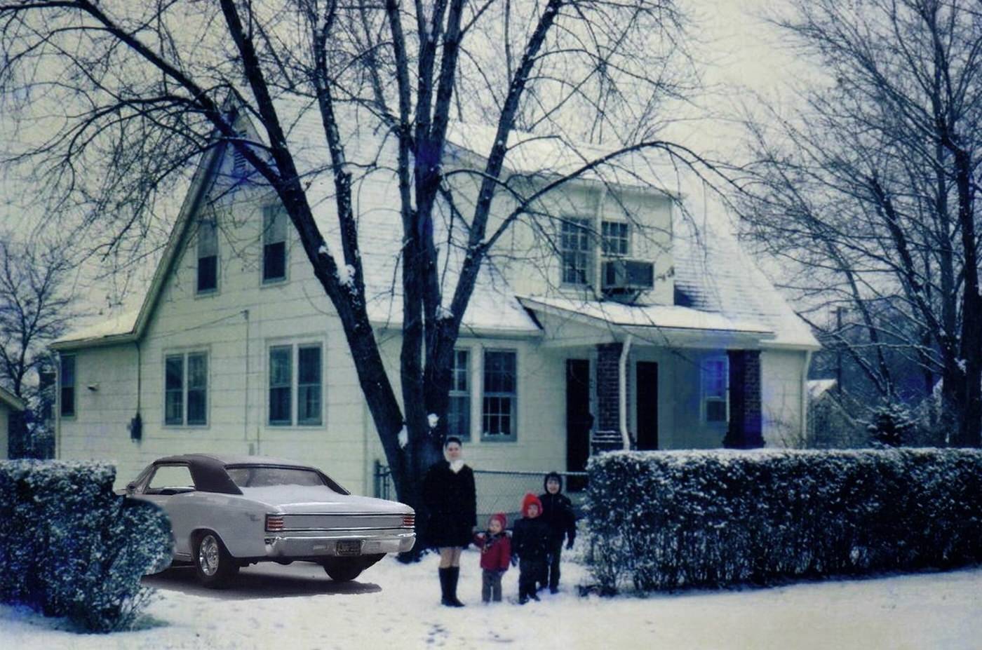
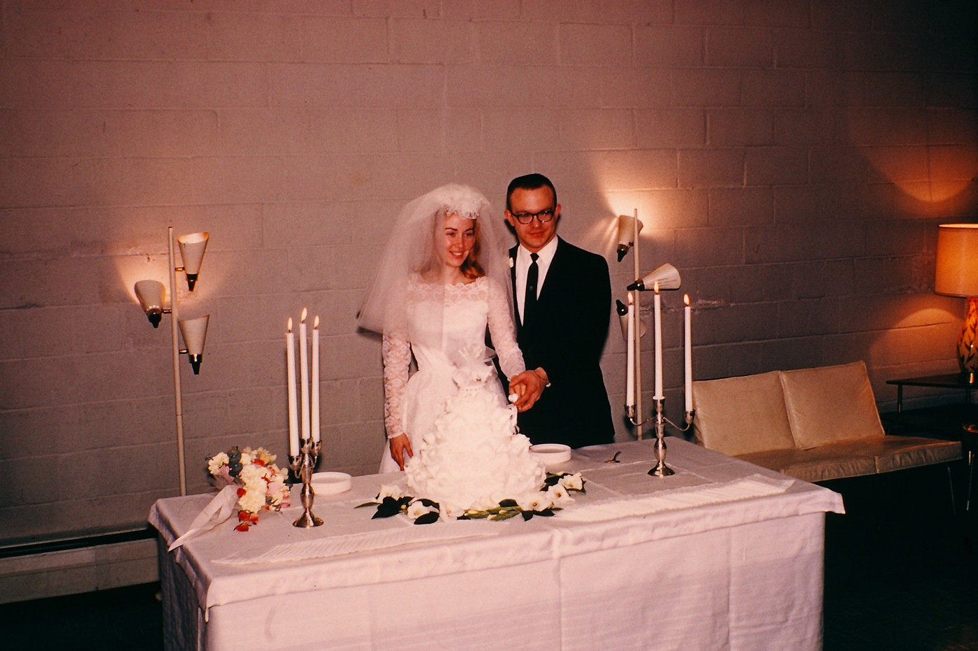
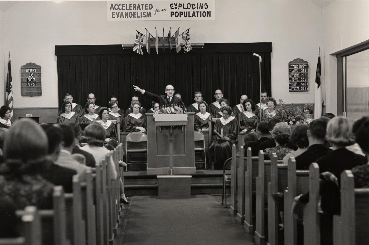
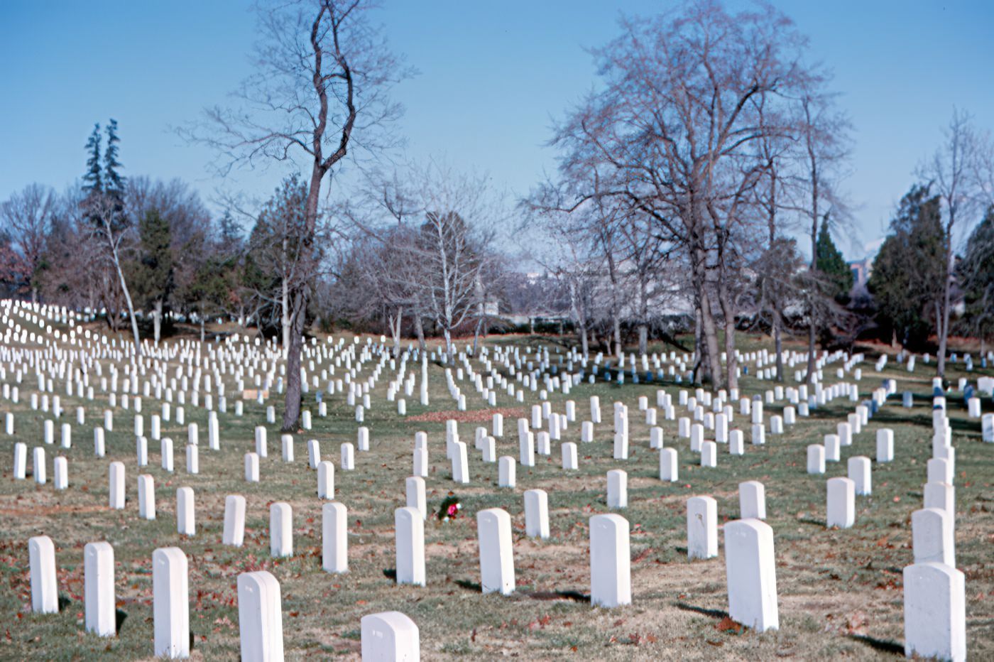
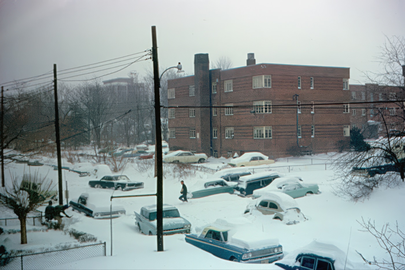
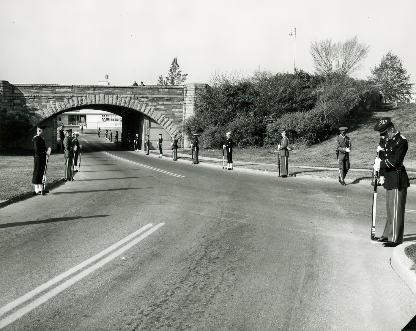
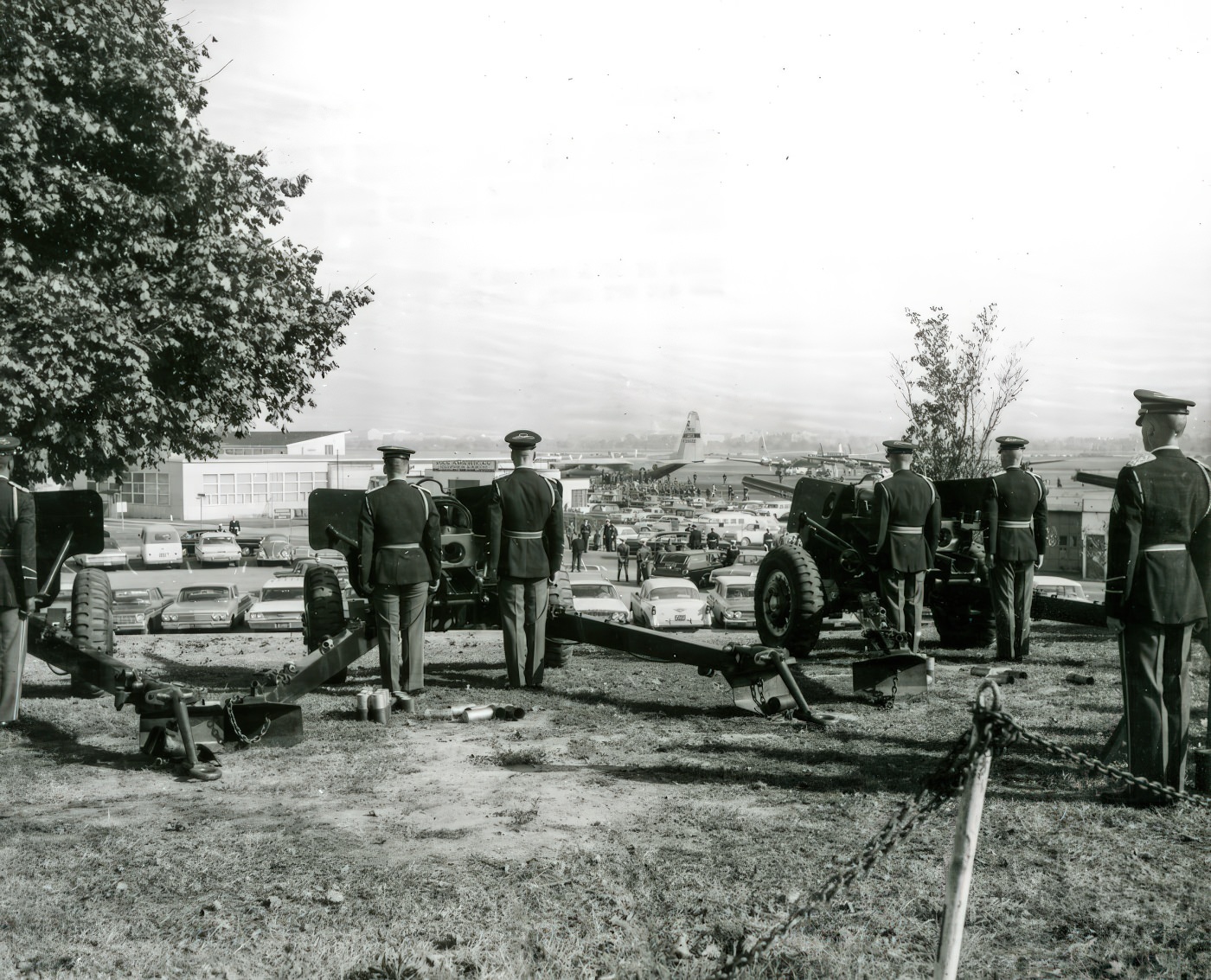
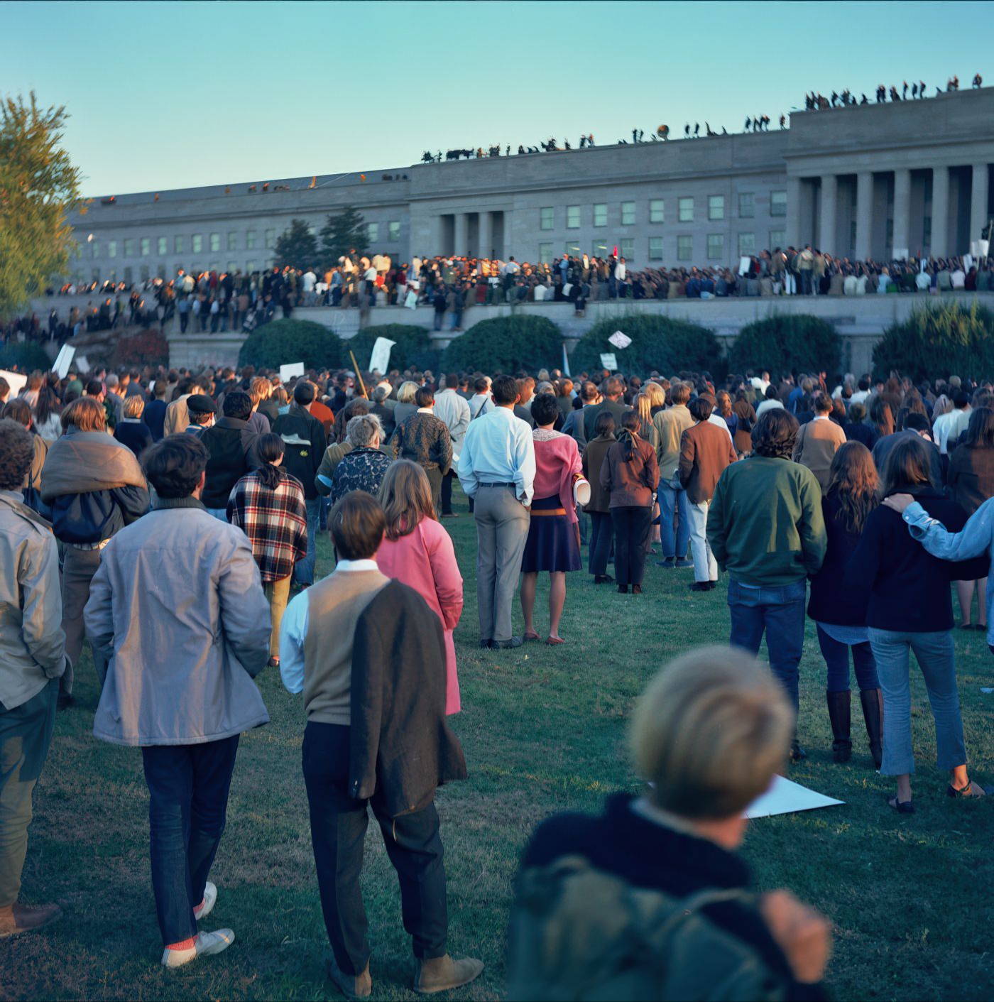
The Cold War, which lasted from 1947 to 1991, deeply influenced daily life across the United States, including Arlington. Virginia, with its military bases and close proximity to Washington D.C., was considered a primary target for attack. Civil defense measures were widespread: terms like “air raid drills,” “bomb shelters,” and “duck and cover” were common. The Federal Civil Defense Administration (FCDA) distributed survival literature and maps showing evacuation routes. Families were encouraged to build bomb shelters, and schoolchildren practiced hiding under their desks. The nuclear threat contributed to an idealization of the “nuclear family” and promoted conformity to mainstream cultural norms. A nuclear accident in Idaho in 1961, which led to a service member’s burial at Arlington National Cemetery, underscored the real dangers of the nuclear age. The Cuban Missile Crisis in October 1962 brought the world to the brink of nuclear war, making the threat feel very immediate. The presence of groups like the American Nazi Party in Rosslyn also contributed to the social climate.
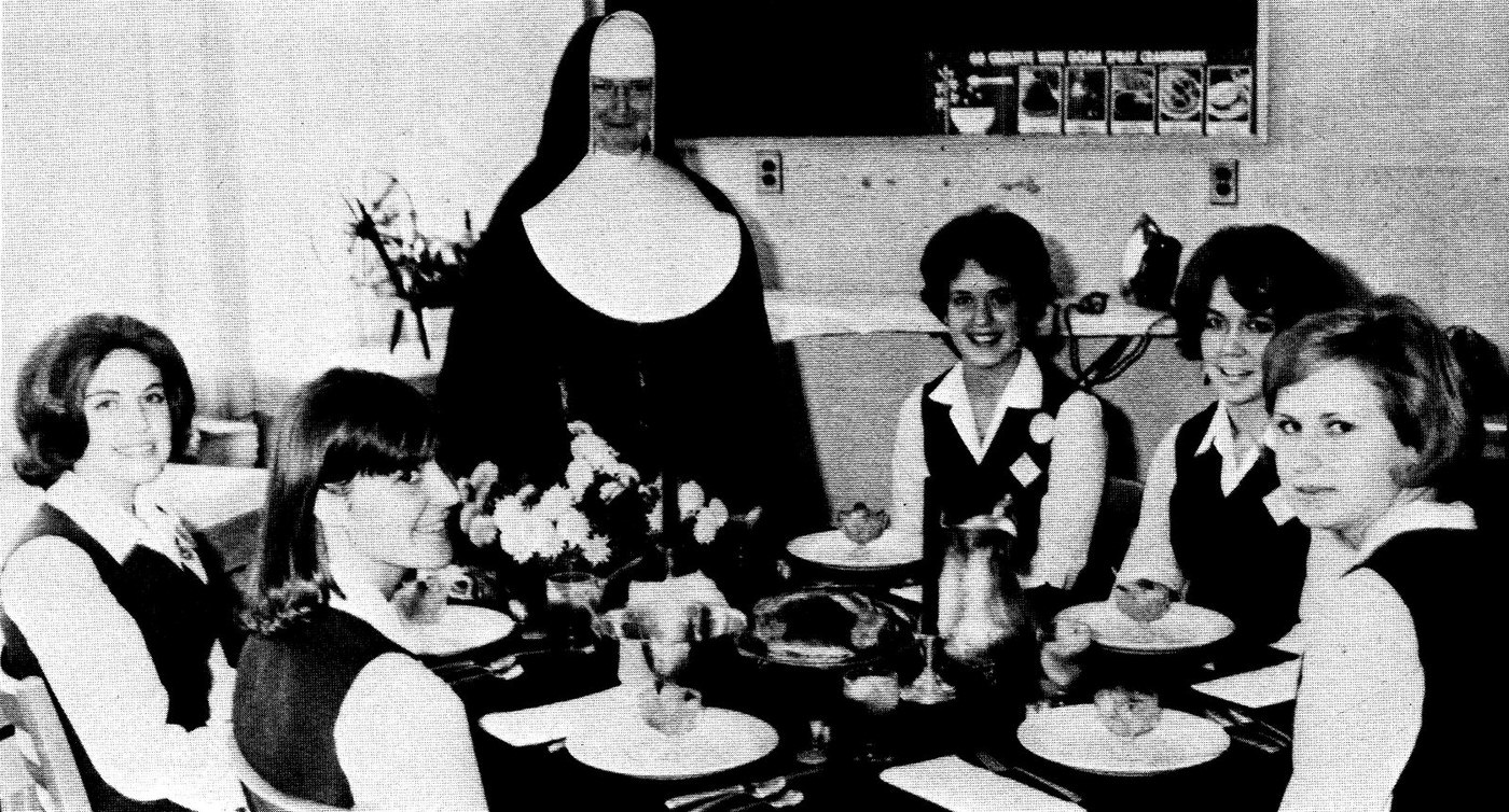
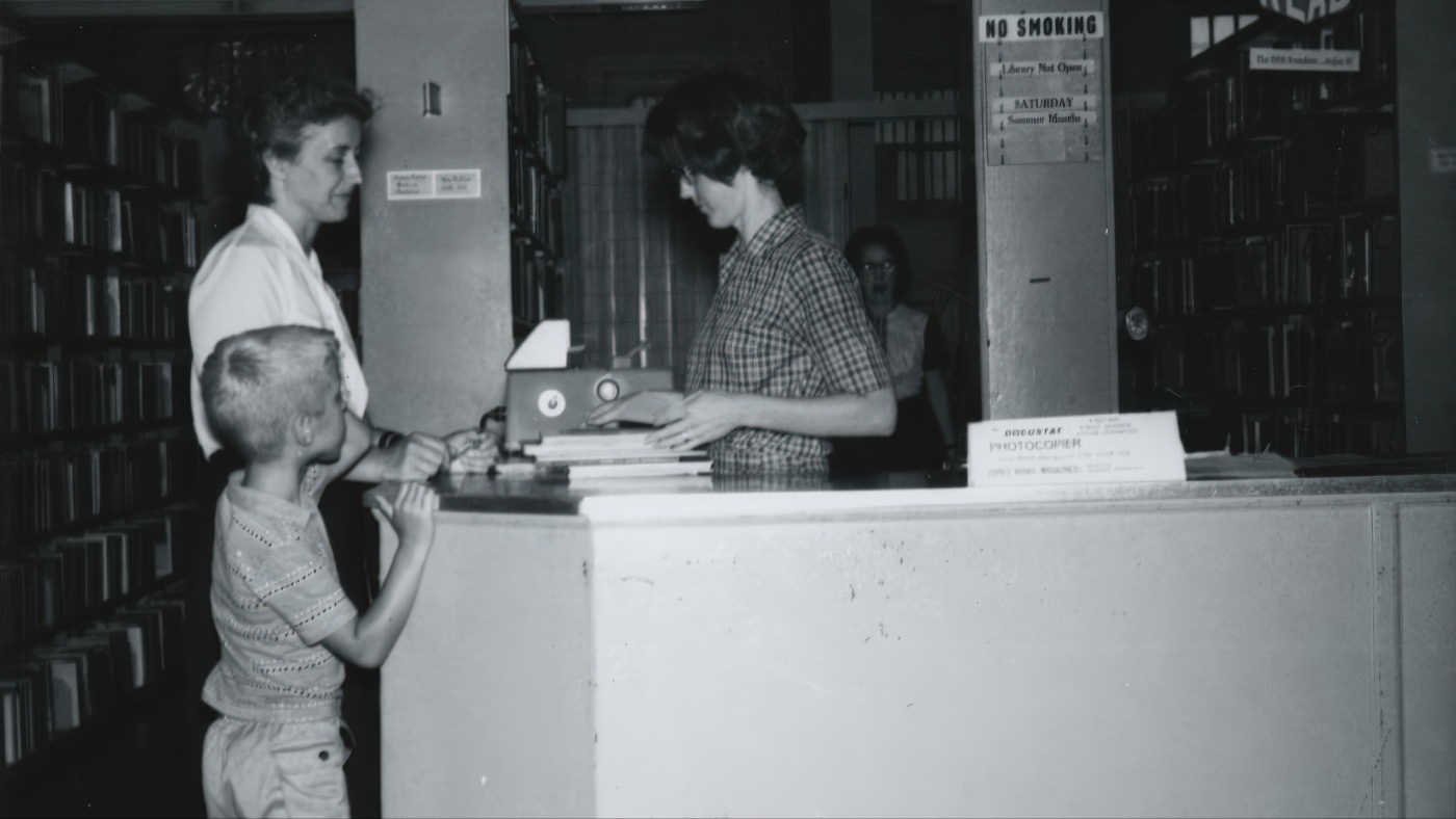
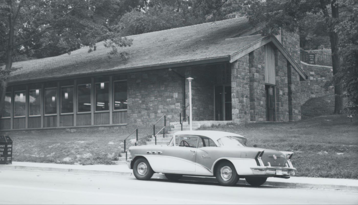
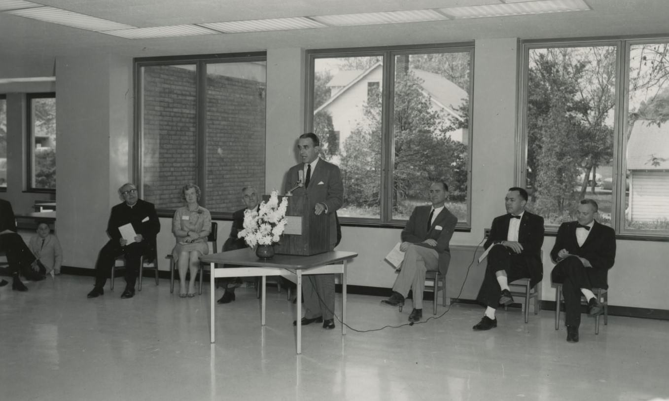
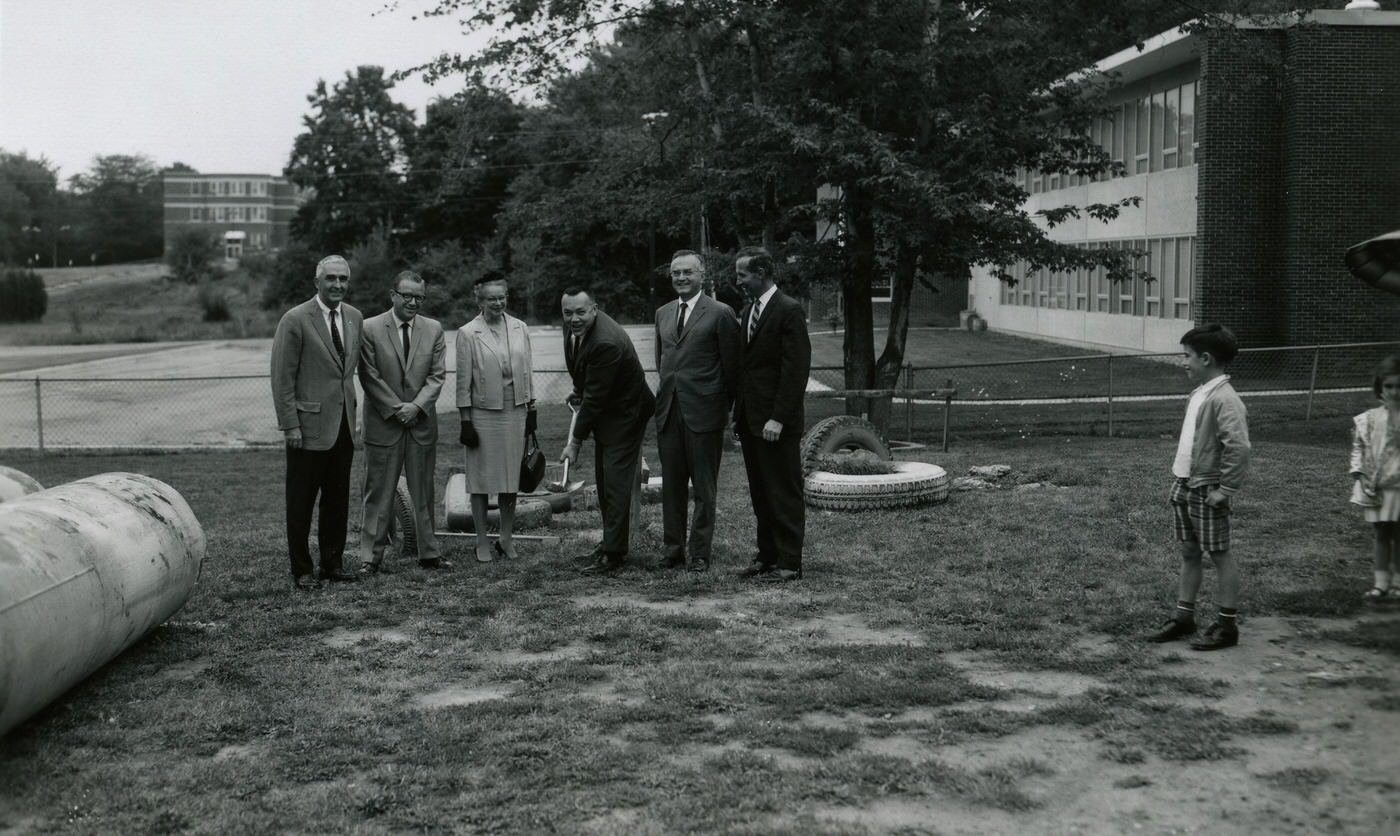
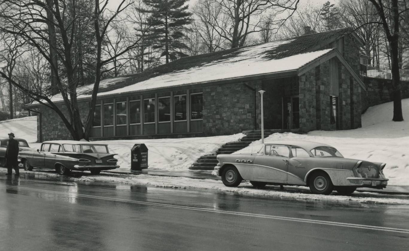
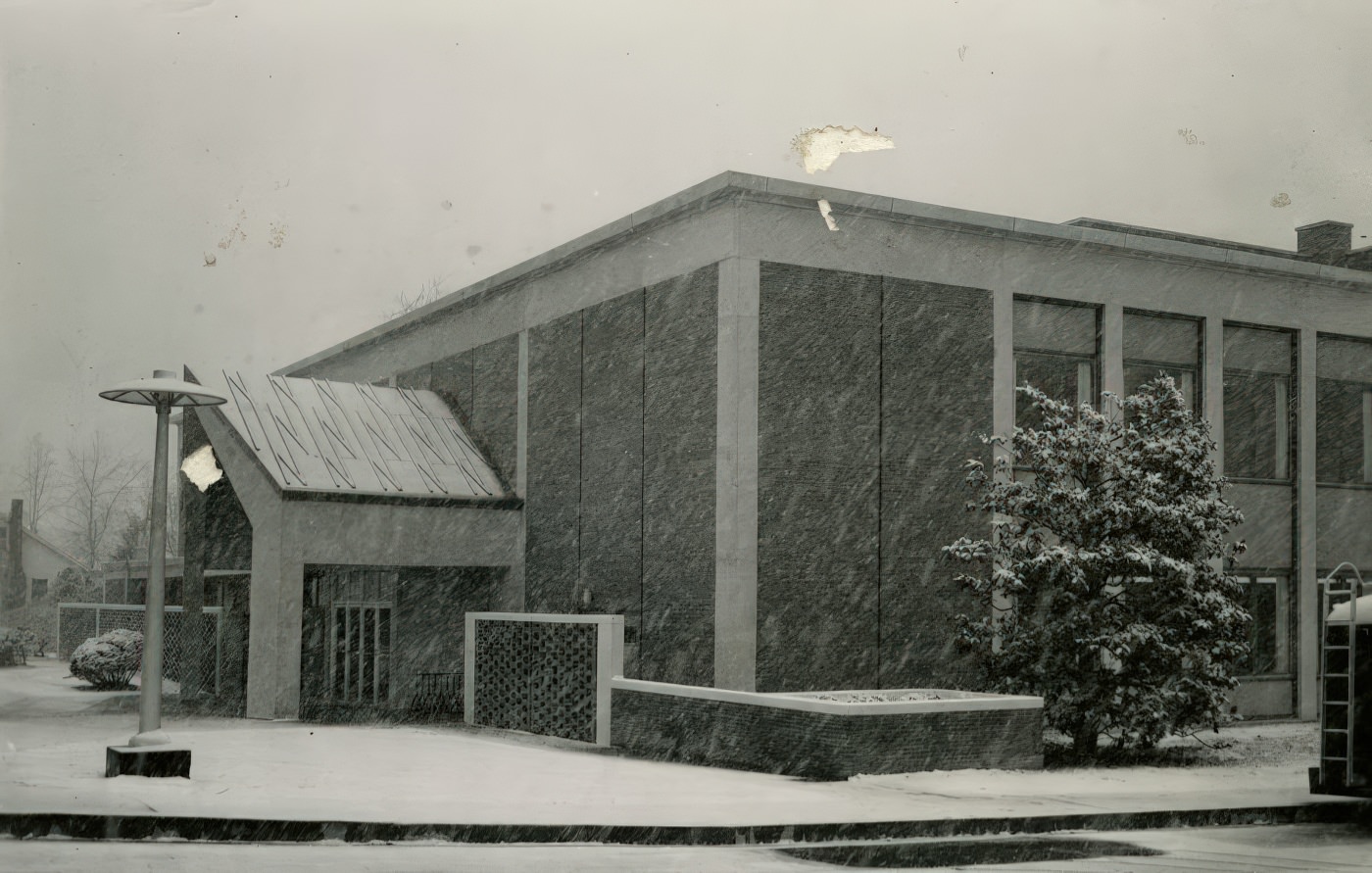
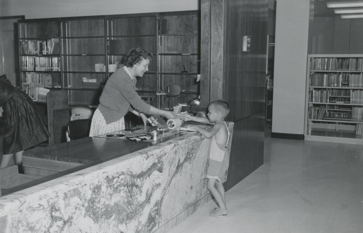
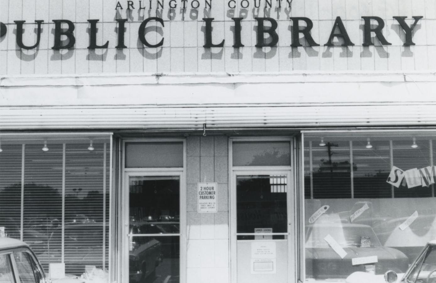
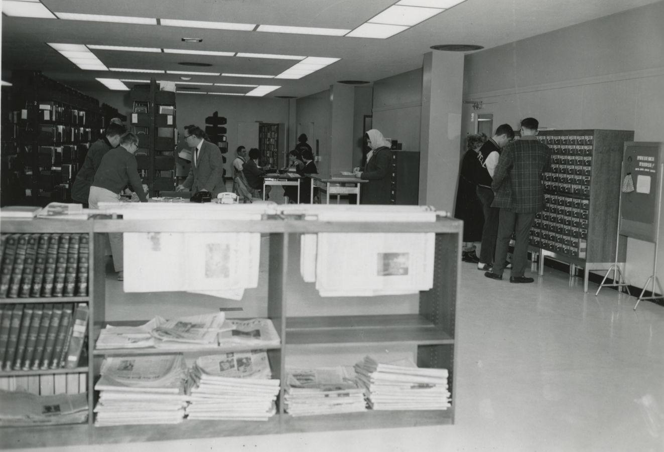
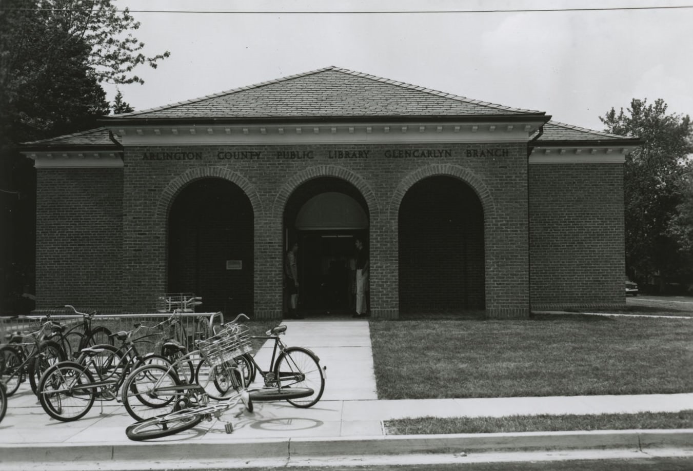
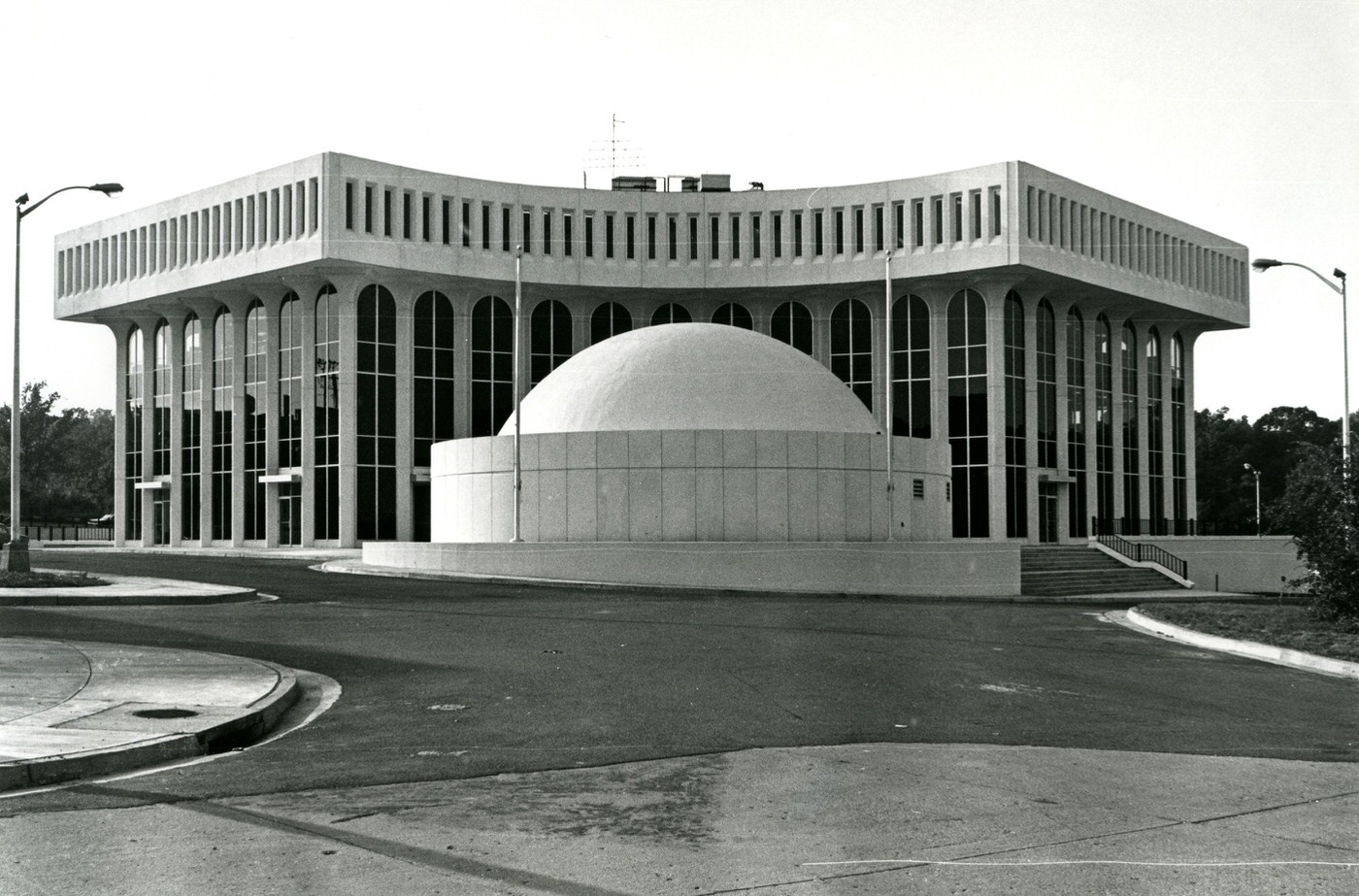
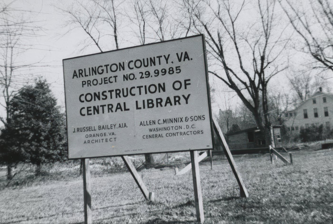
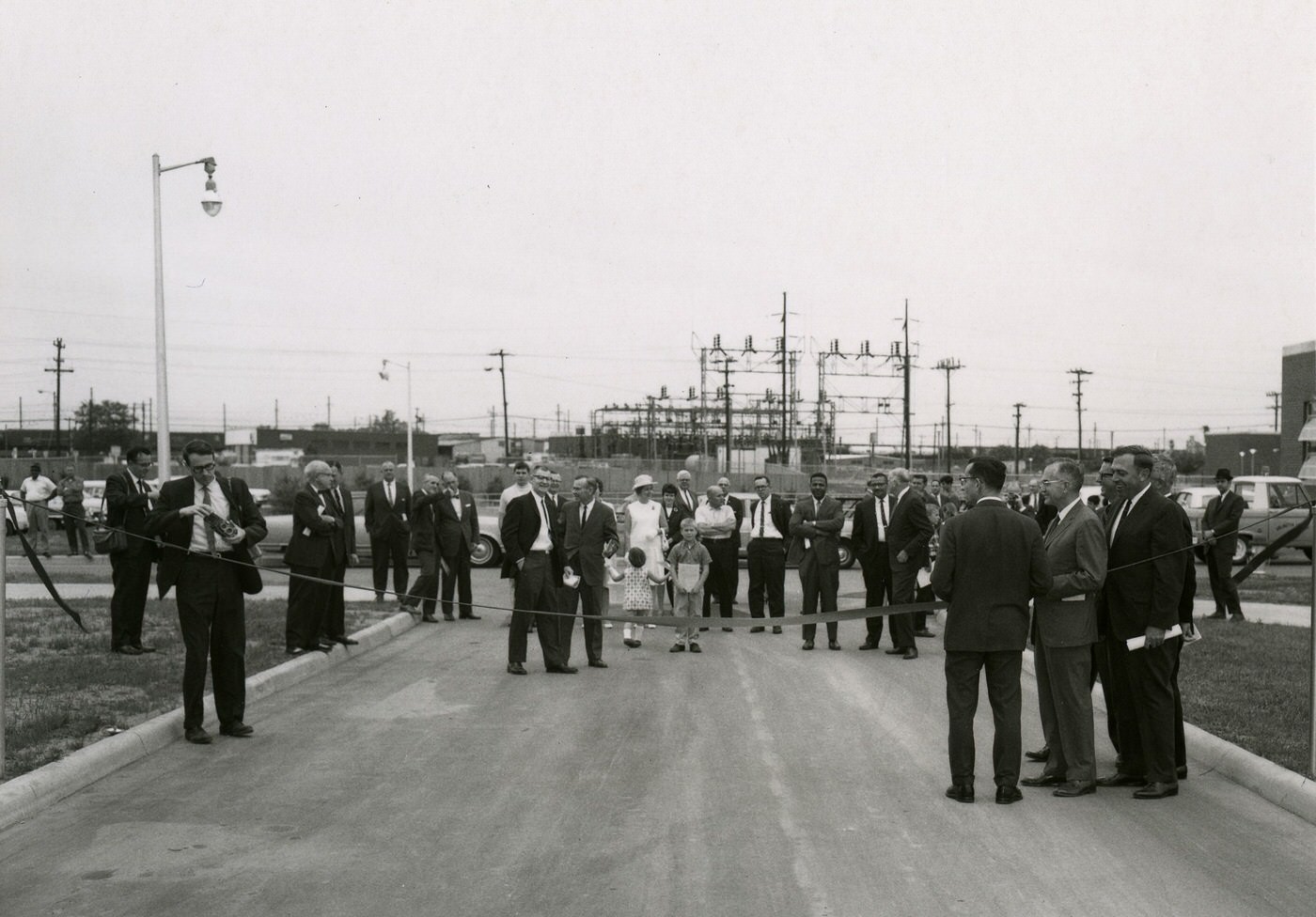
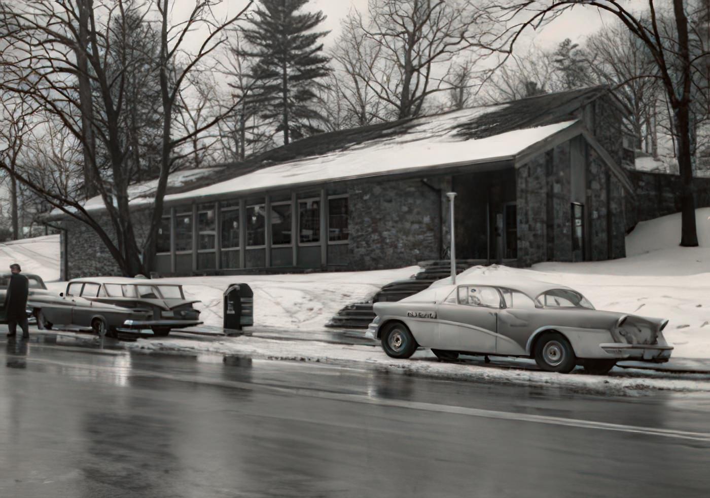
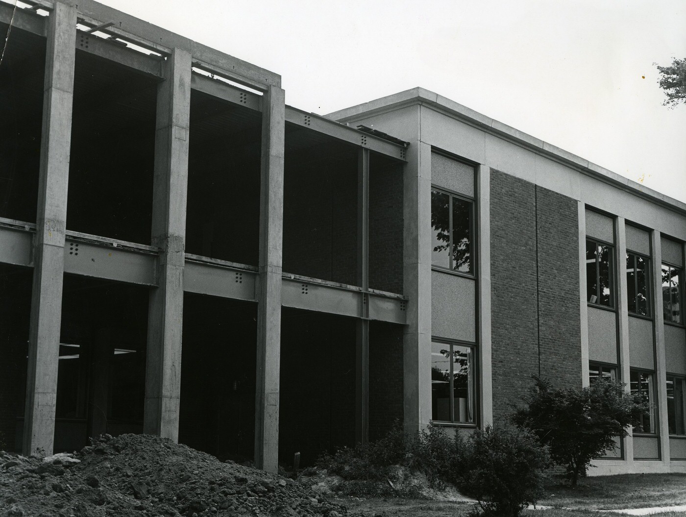
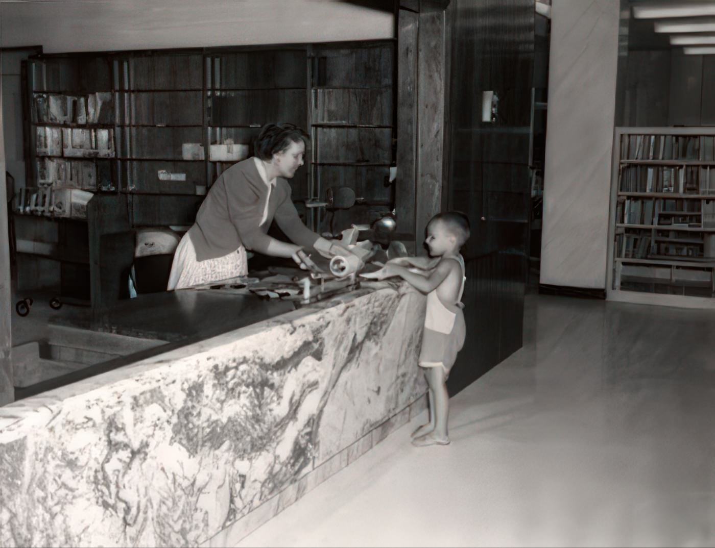
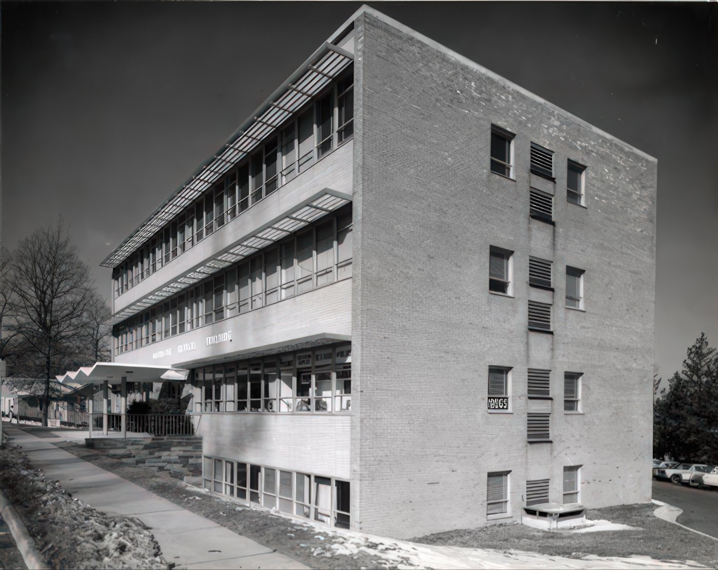
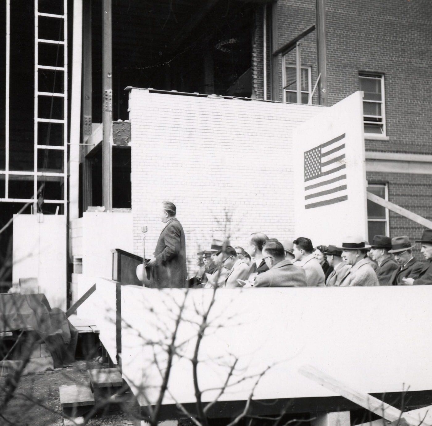
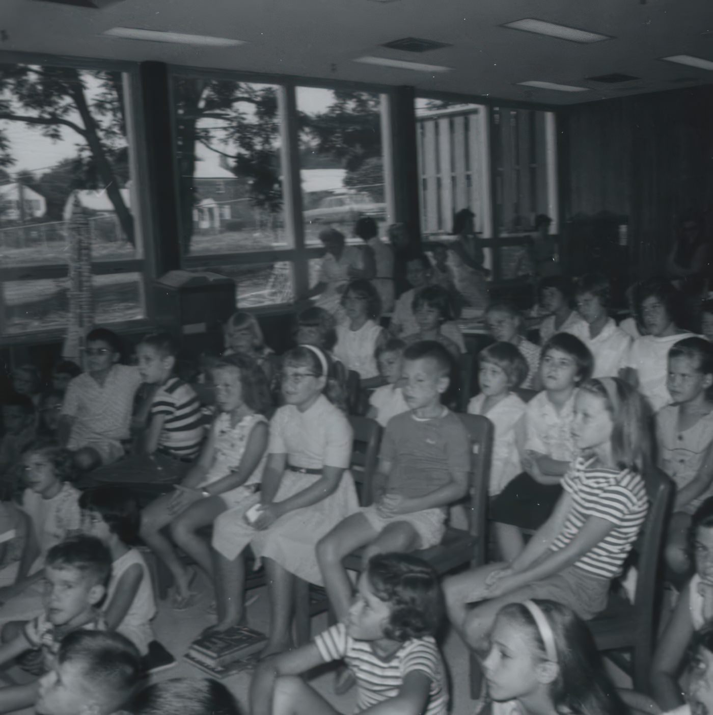
Significant investment in public buildings like the Central Library and the hospital, alongside infrastructure upgrades, reflects the county’s effort to provide essential services for its growing, modernizing population. Arlington’s Central Library was approved in 1958, construction began in 1960, and it officially opened in 1961. Additions to the building were made from 1966 to 1968. Arlington Hospital, which had expanded significantly in the 1950s, continued its growth into the 1960s. The third phase of expansion, including new and larger operating and delivery rooms, and staff quarters, opened debt-free in 1963. In 1964, Arlington Hospital installed the area’s first cardiac intensive care unit, which was only the third such unit in the entire country. Between 1966 and 1969, the hospital added departments like Respiratory Therapy, expanded emergency facilities, and new medical intensive care units. New electronic equipment and a Surgical Intensive Care Unit were added in 1968. The Hume School, built in 1891, underwent extensive renovation in the early 1960s and reopened as the Arlington Historical Museum.
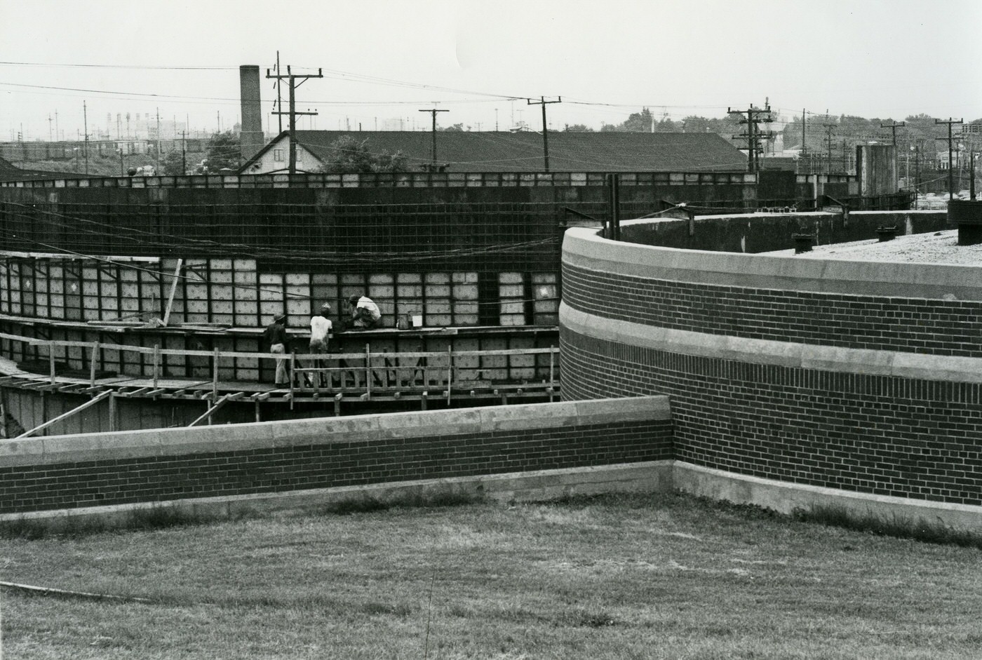
Arlington’s water system, which draws from the Potomac River via the Dalecarlia Plant in D.C., saw improvements initiated in 1953. In the 1960s, the county used about 20 million gallons of water per day, a similar amount to current usage despite having 73,000 fewer people, indicating higher per capita use at the time. The sanitary sewer system, with 65% of its pipes built before 1950, faced challenges with aging infrastructure. New sewer lines were constructed from 1962 to 1970 to handle the growing demand that was overloading the existing system. The continuous upgrades to water and sewer systems underscore the county’s efforts to keep pace with the demands of a rapidly urbanizing environment.


The March Towards Equality: Civil Rights
Arlington County was the first county in Virginia to desegregate its public schools. Virginia had a history of opposing public schools, and segregation was deeply ingrained through Jim Crow laws, including property covenants that restricted home sales to “colored” citizens. African American schools, such as Hoffman-Boston, often had fewer choices and resources, and were not accredited until the 1950s. Many Black students traveled to Washington D.C. for secondary education. After the 1954
Brown v. Board of Education ruling, Virginia adopted a policy of “massive resistance” to desegregation, threatening to close schools that integrated. The NAACP, including the Arlington chapter led by Esther Cooper, actively sued the school board to compel integration.
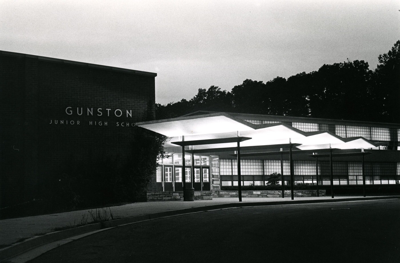
The legal victories against “Massive Resistance” directly enabled the desegregation of schools and, subsequently, other public accommodations. On January 19, 1959, the Virginia Supreme Court effectively ended “massive resistance” by ruling that public school closures violated the state constitution. This legal precedent directly led to the desegregation of Stratford Junior High in February 1959. On February 2, 1959, four Black students—Ronald Deskins, Michael Jones, Gloria Thompson, and Lance Newman—entered Stratford Junior High School, becoming the first to desegregate a public school in Virginia. This event occurred without incident, protected by nearly 100 police officers. Arlington’s public schools continued to integrate gradually, though courts only approved its pupil placement system as racially neutral in 1971, 12 years after desegregation began. School dances and athletic events were ended by the School Board in 1959 after integration started. Some schools, like Drew Elementary and Hoffman-Boston Elementary, remained almost completely segregated.
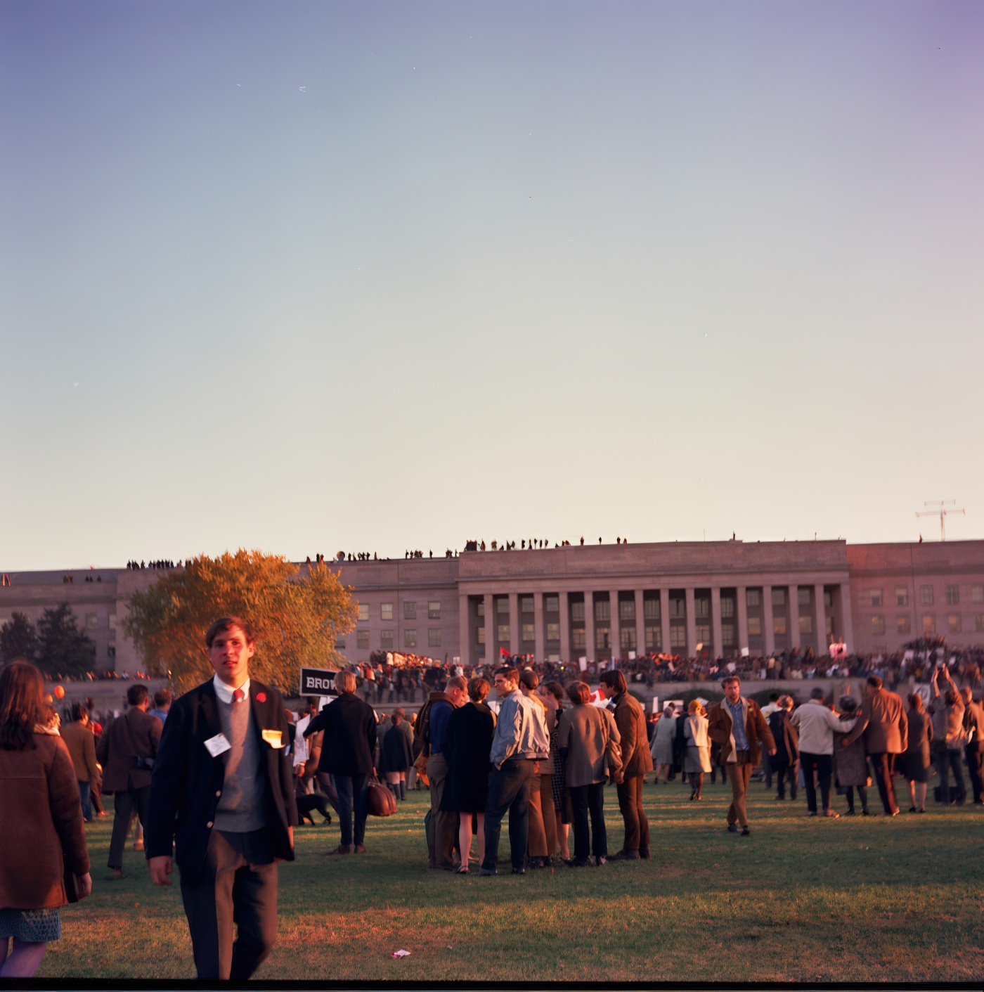
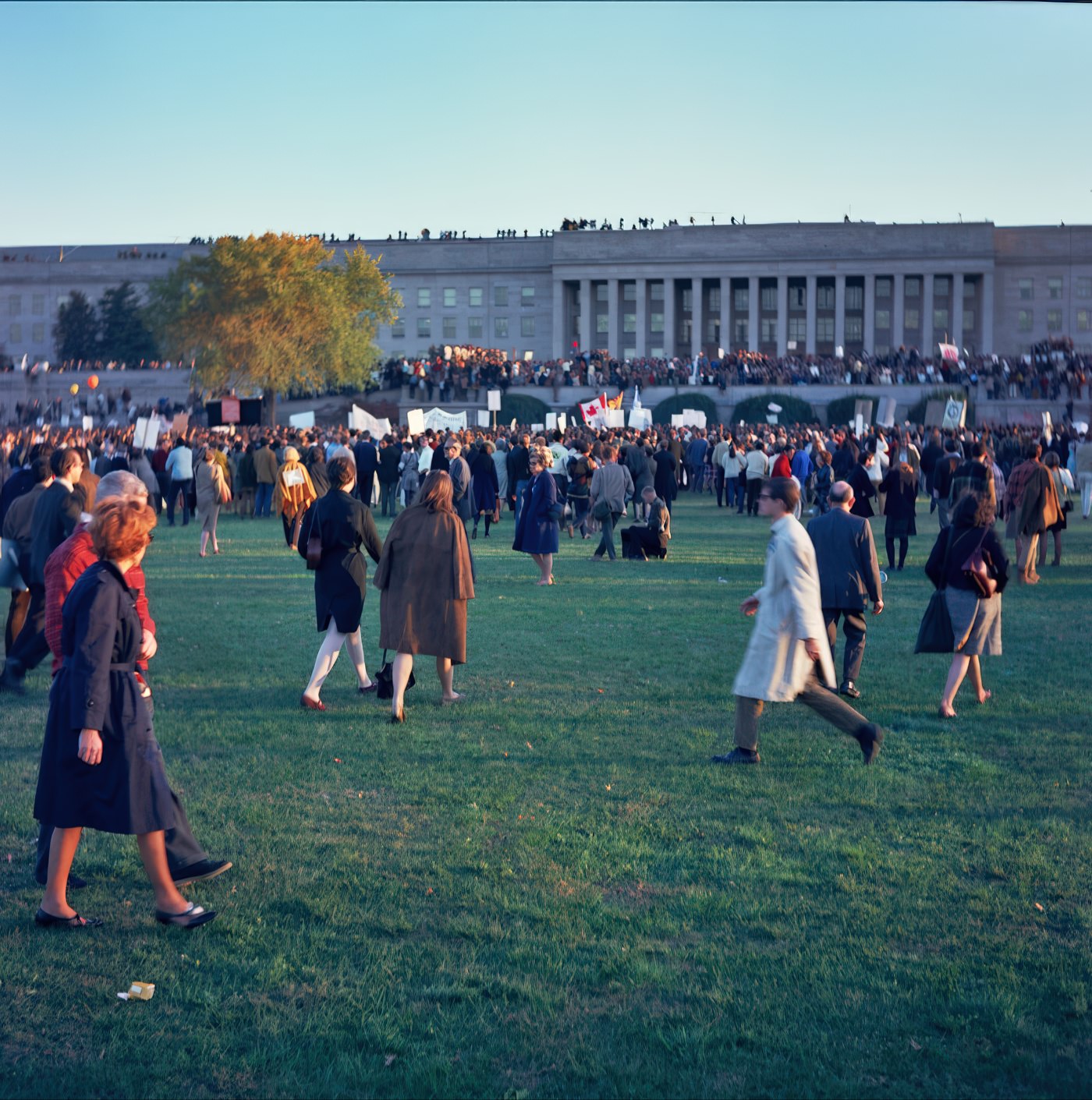
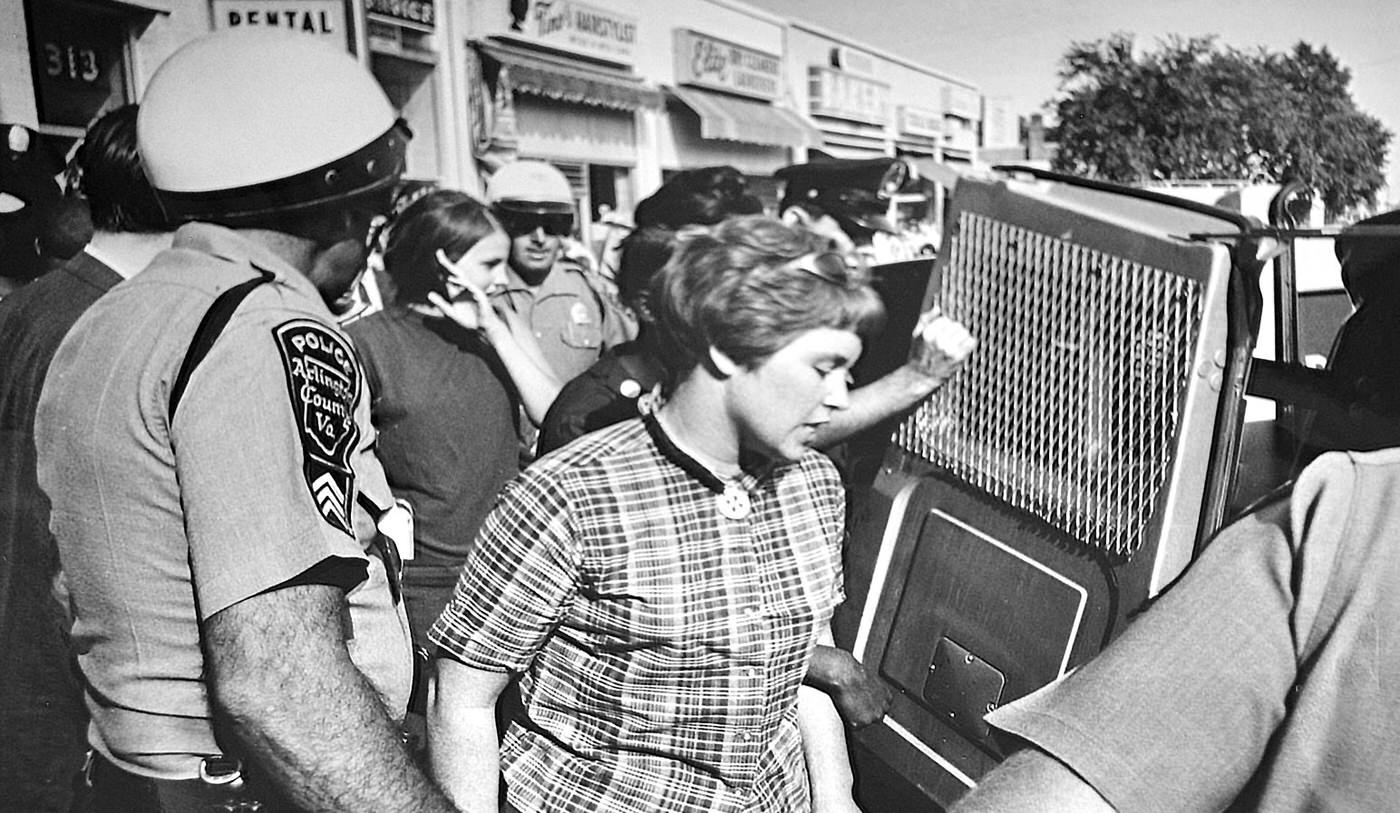
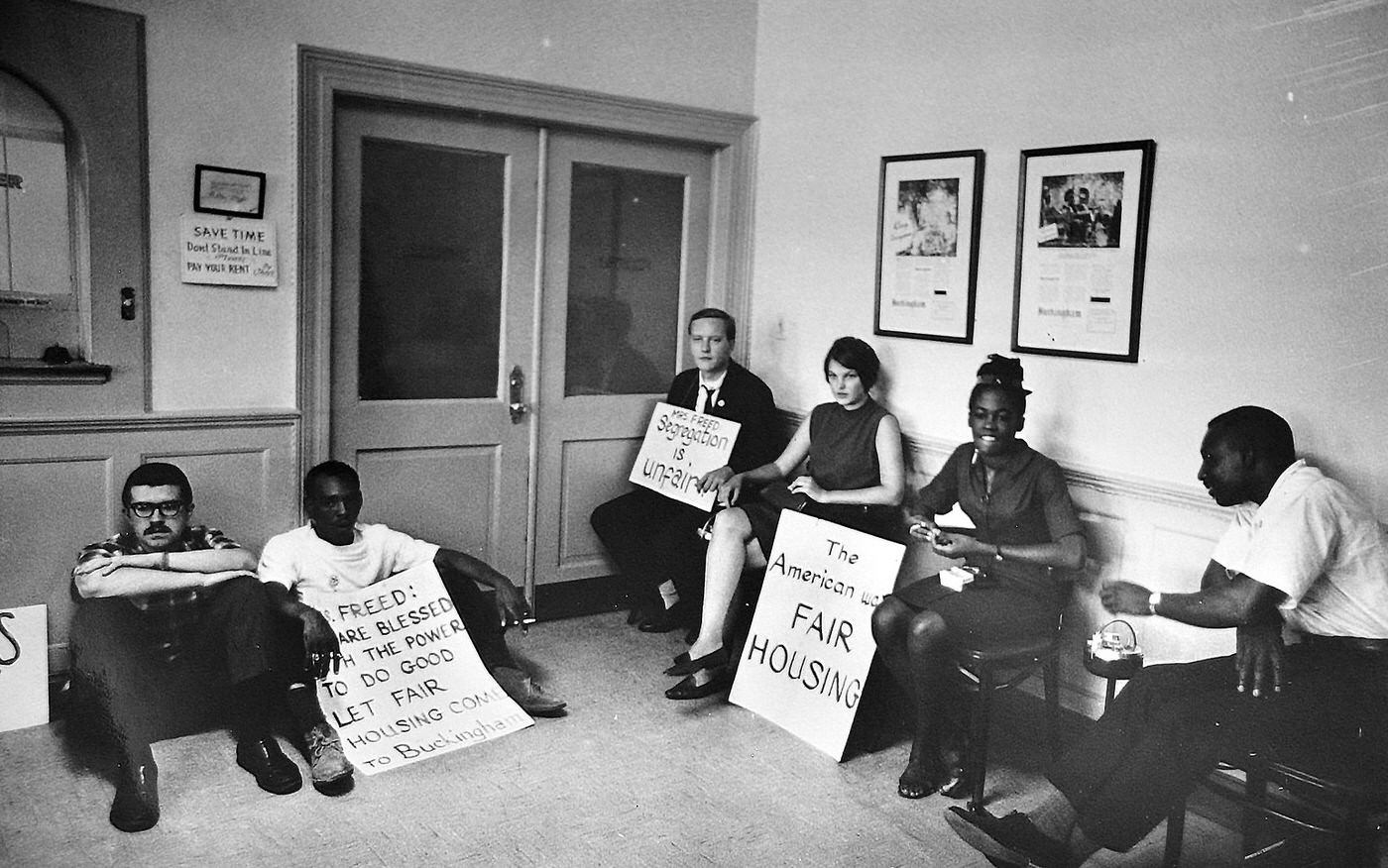
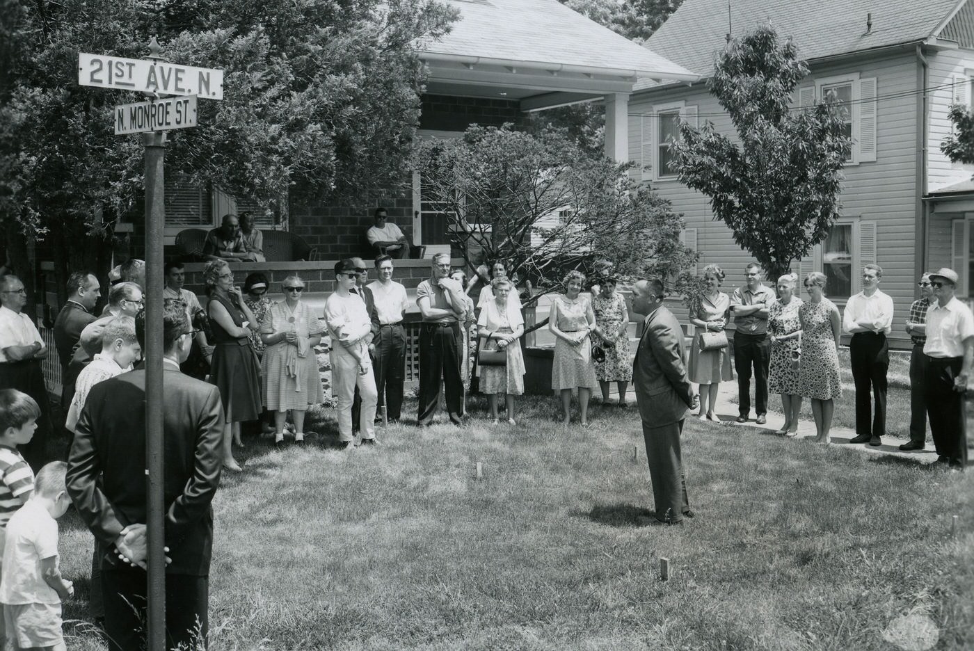
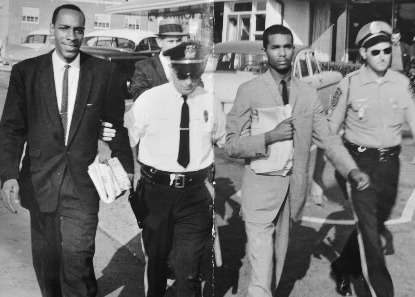
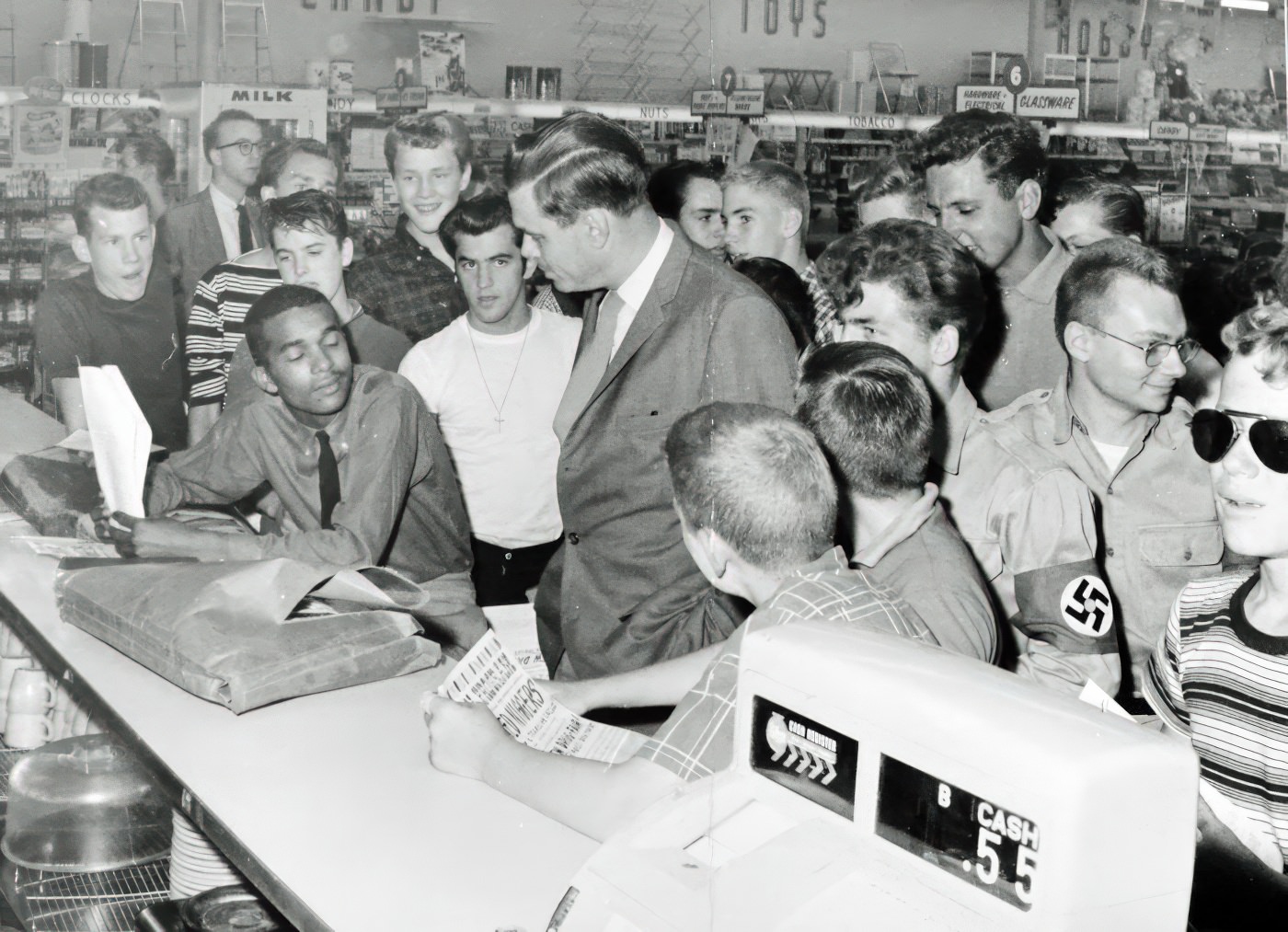
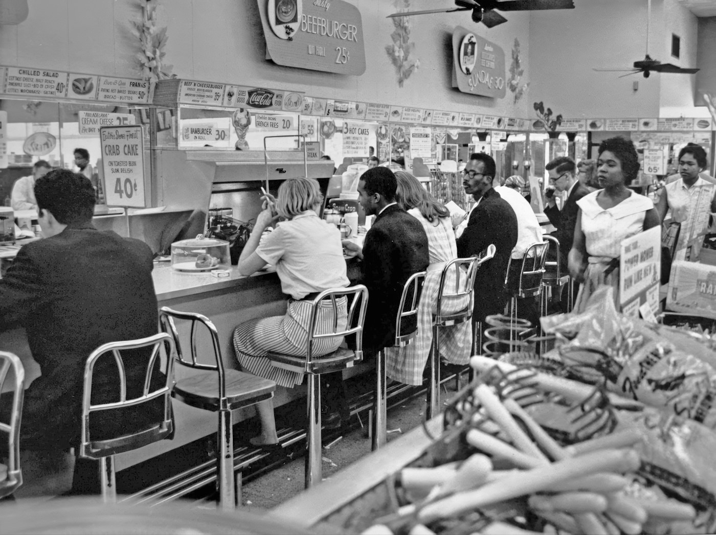
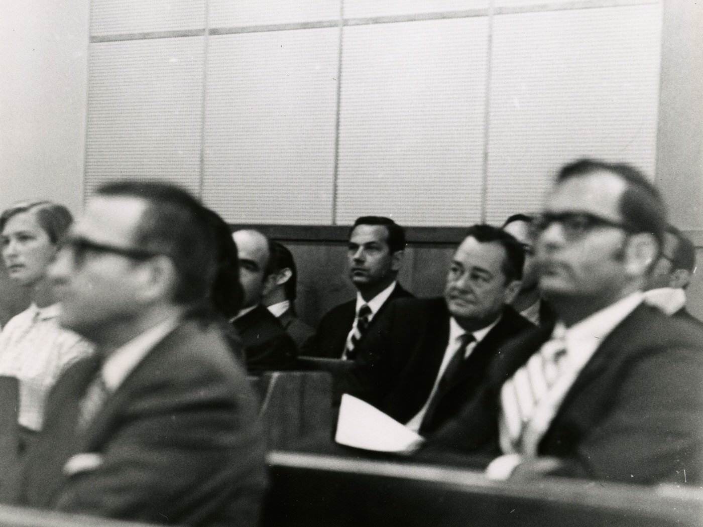
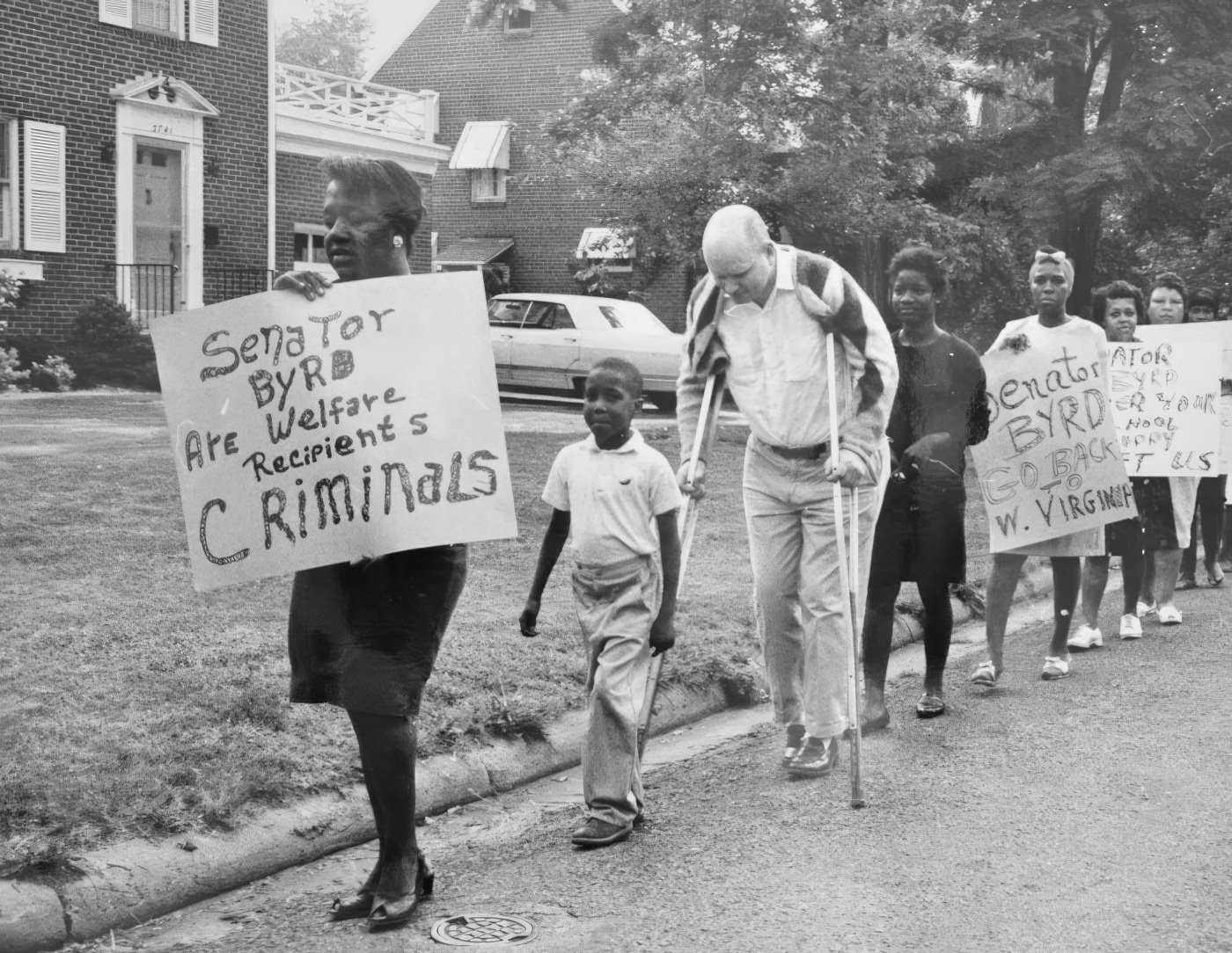
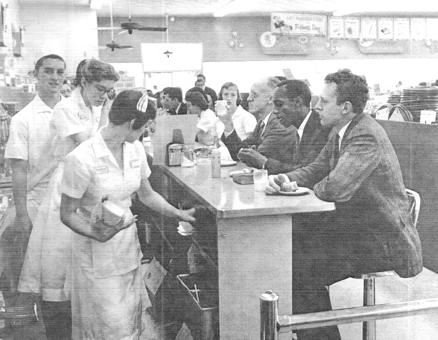
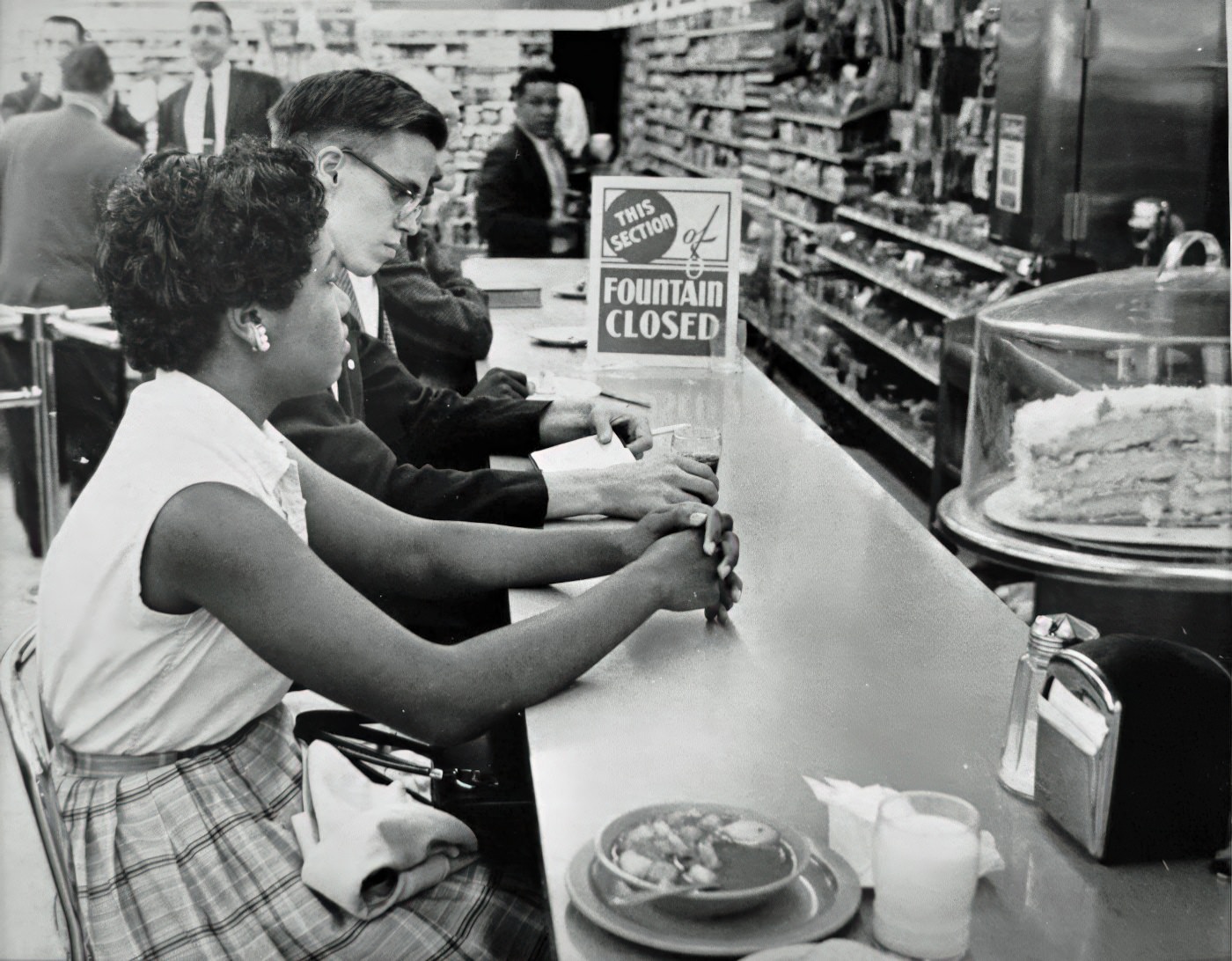
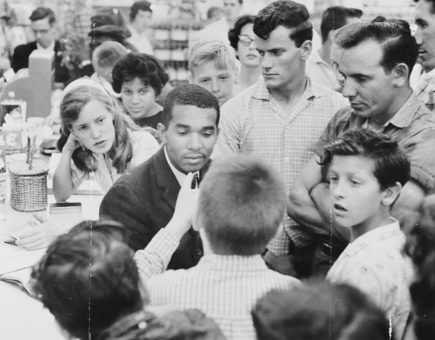
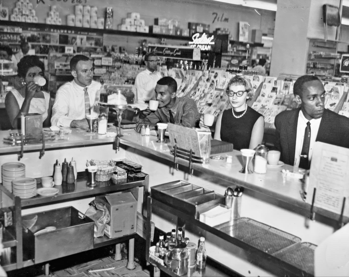
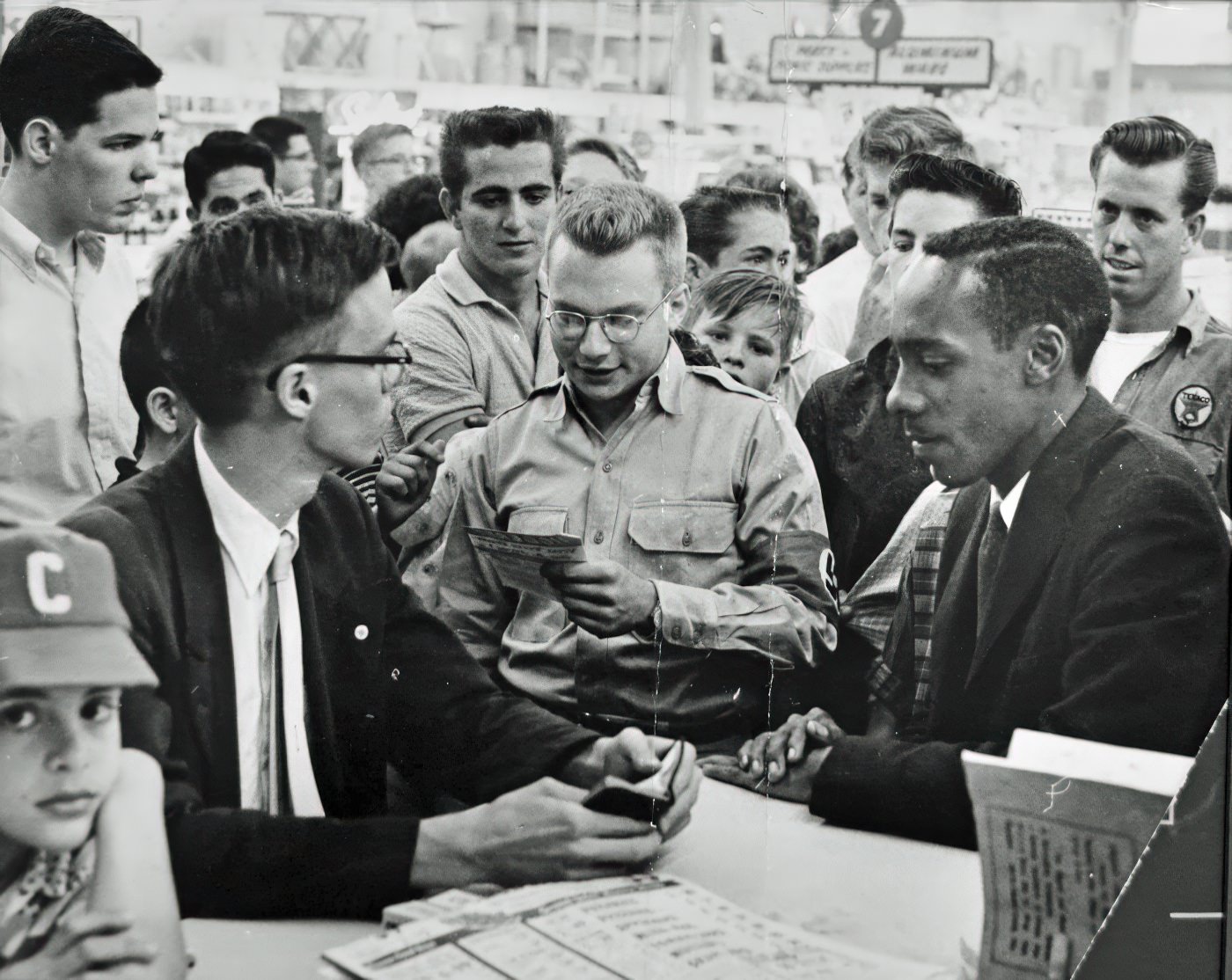
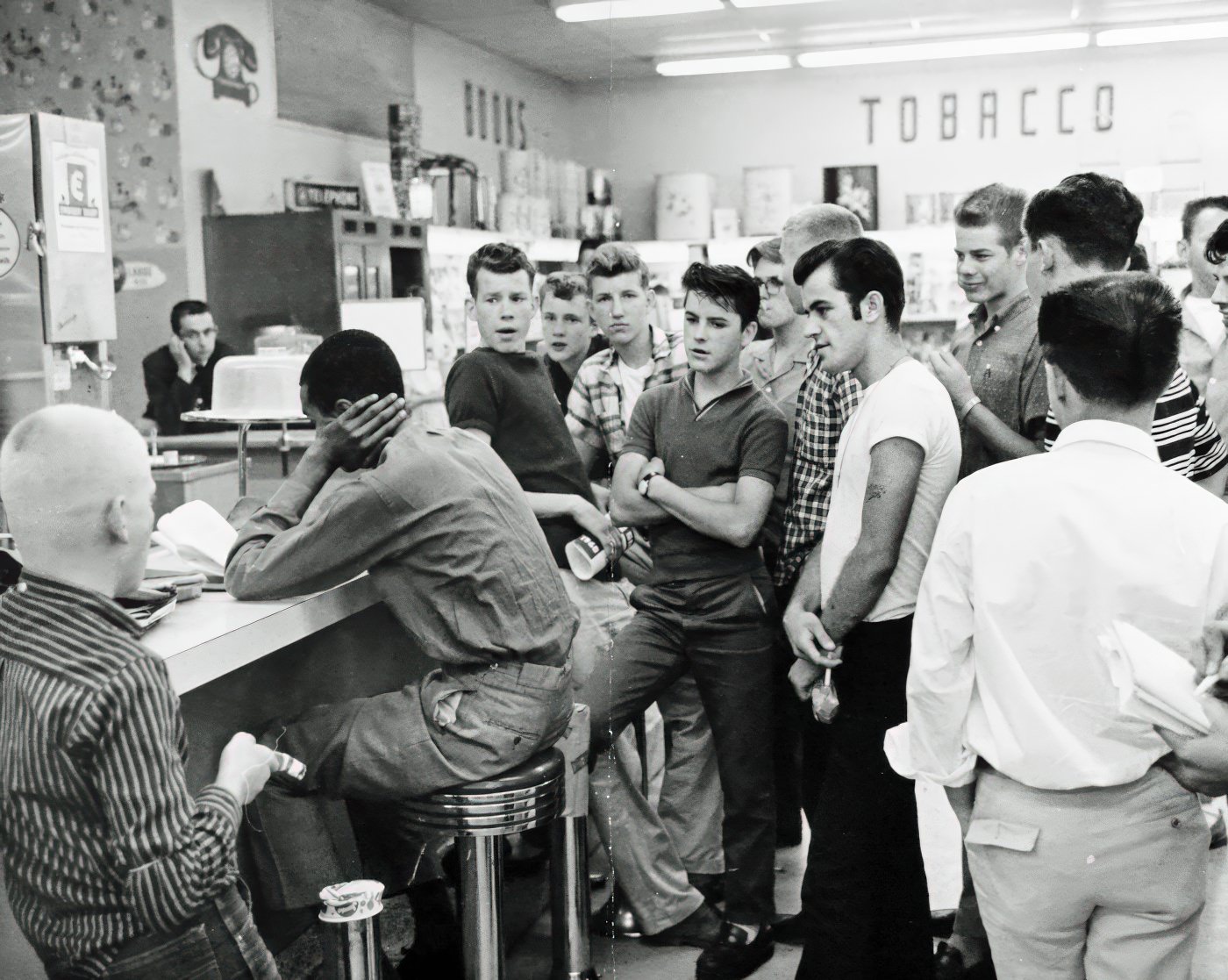
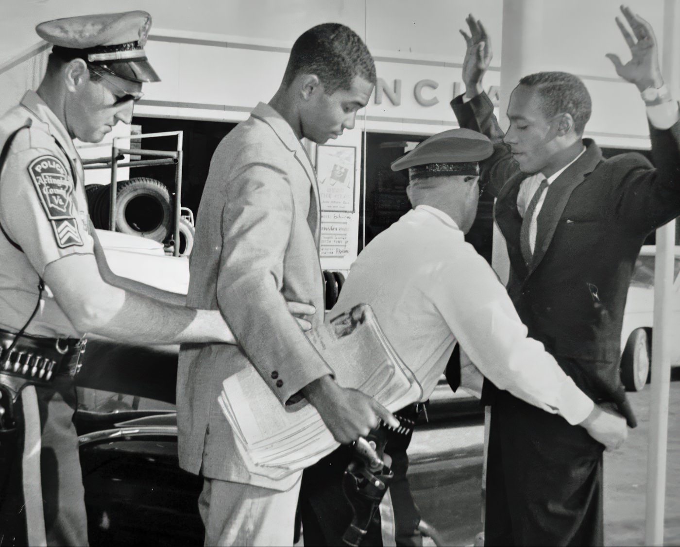
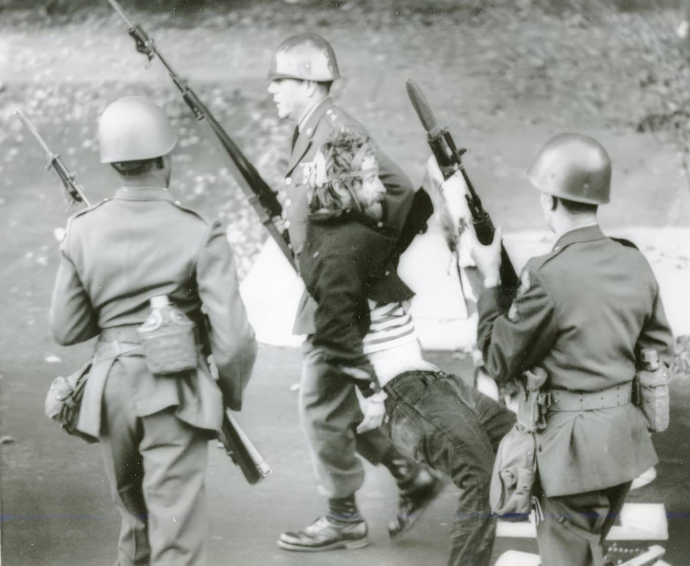
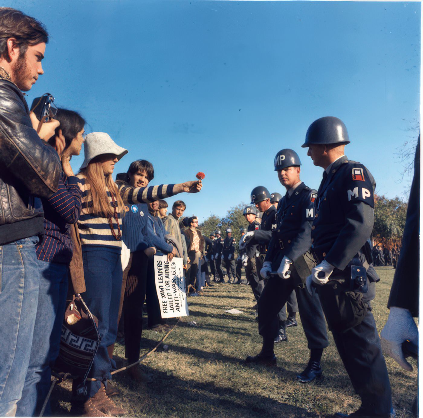
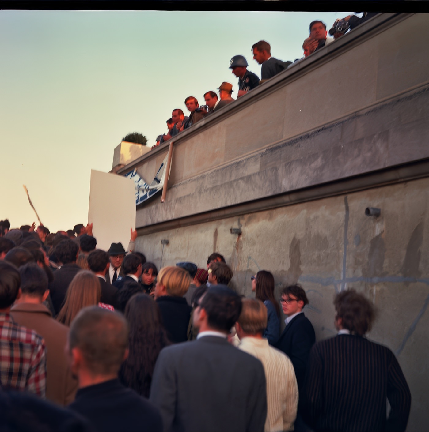
On June 9, 1960, a group of about a dozen people initiated peaceful demonstrations at the People’s Drug Store in Cherrydale, protesting the refusal to serve African Americans at white-only lunch counters. These sit-ins were organized by the Nonviolent Action Group (NAG), an integrated group of Howard University students and local allies. Protesters used strategies such as Black individuals buying goods to establish themselves as customers, and white protesters passing food to Black students to achieve de facto desegregation. The demonstrations faced harassment from local white students and members of George Rockwell’s American Nazi Party. Police intervened at times, requiring Neo-Nazis to leave. Virginia’s Governor Lindsay Almond passed bills criminalizing trespassing to prevent picketing. Arlington County Board Chairman Herbert Brown stated the county would not mediate, viewing it as a private business matter. After continued protests, businesses like F.W. Woolworth, Lansburgh, Kann’s, and People’s Drug Store began desegregating their lunch counters by June 22-23, 1960.
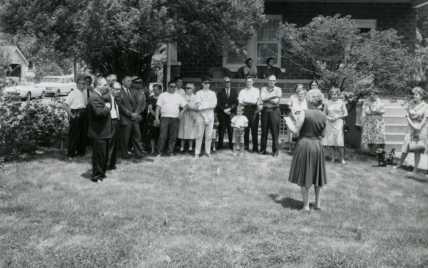
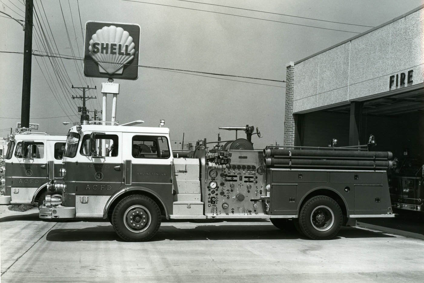
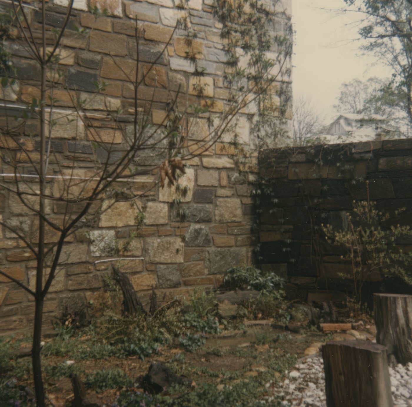
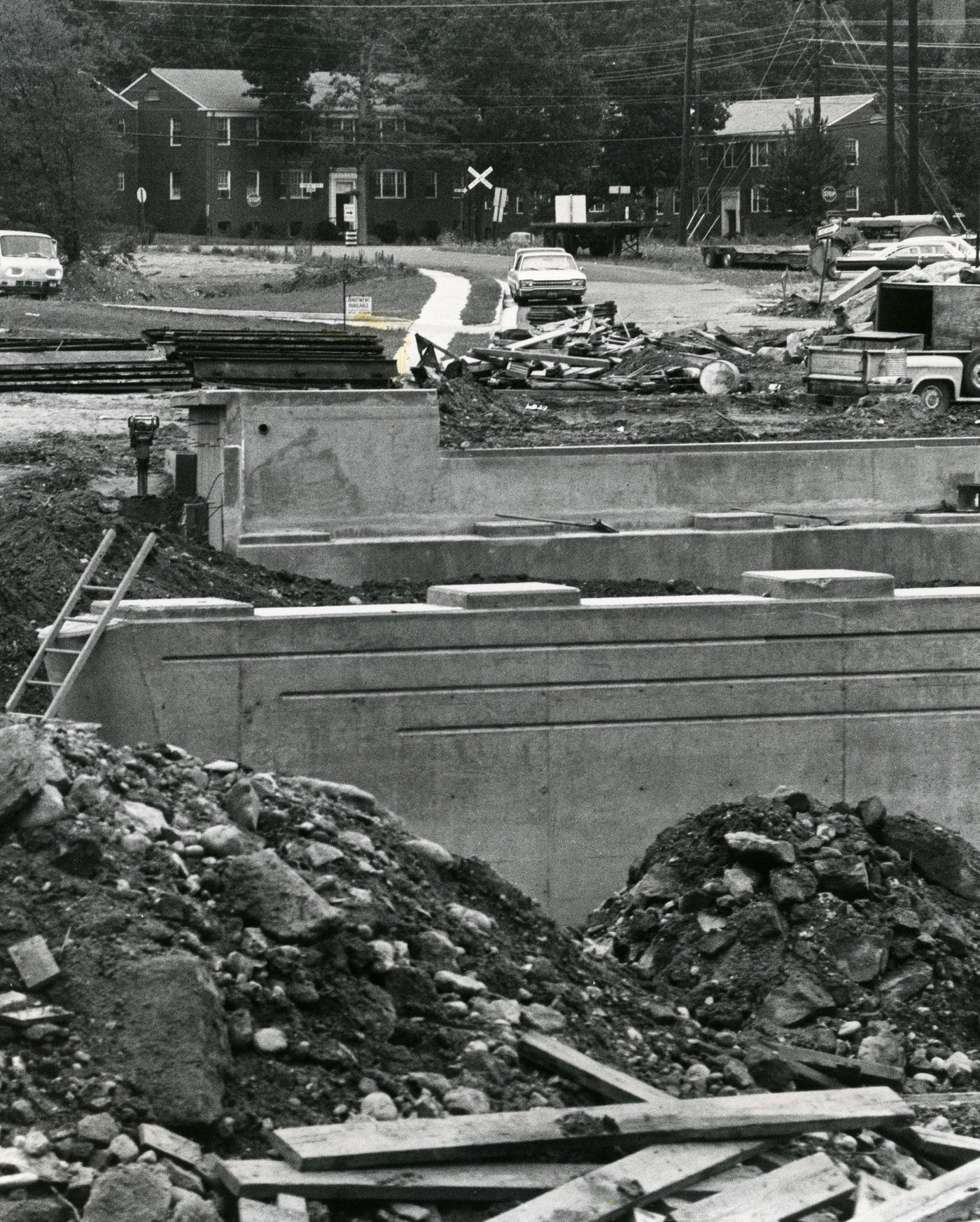
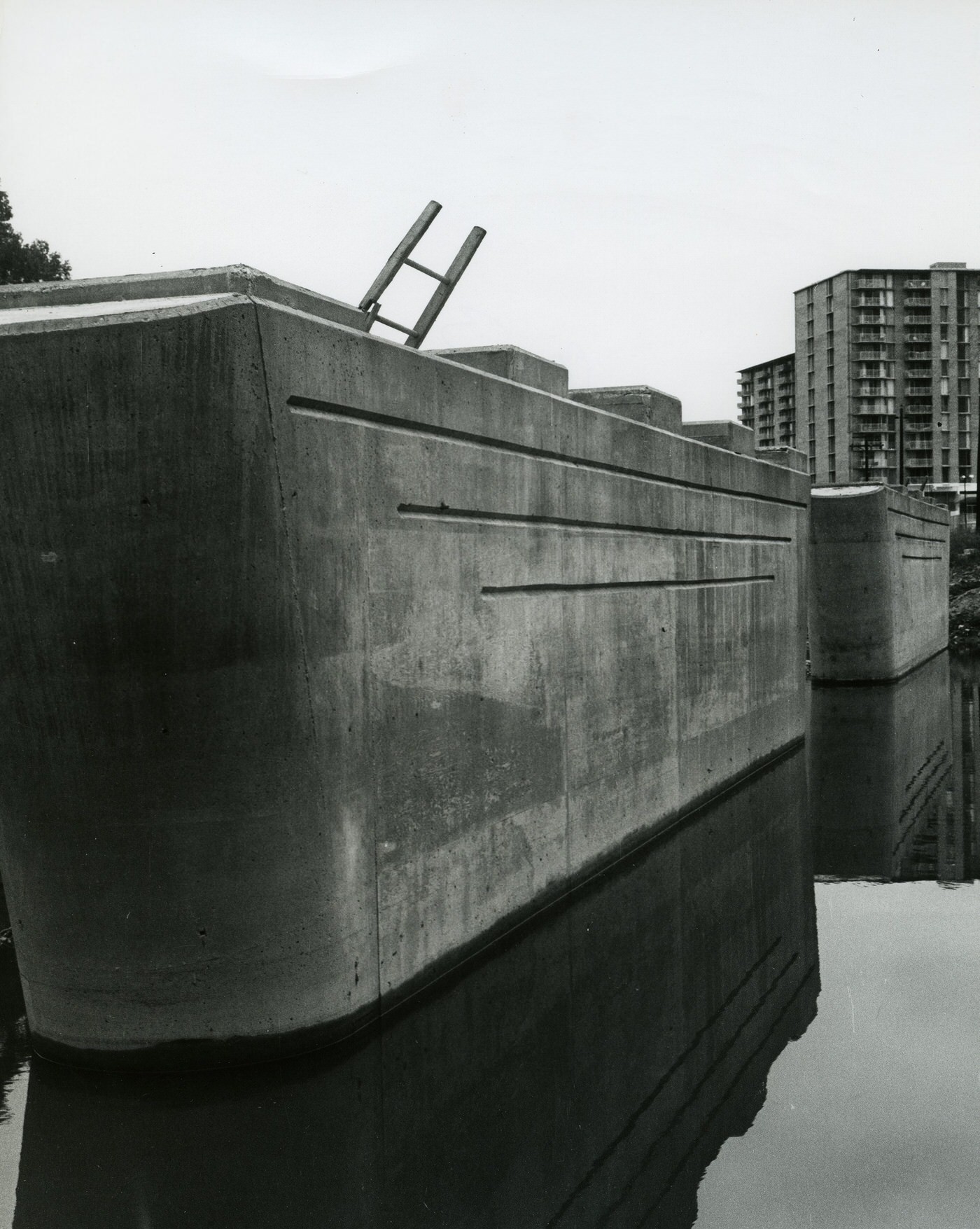
Despite official desegregation efforts, the reality of daily life for African Americans in Arlington in the 1960s still involved significant de facto segregation and unequal access to services. Arlington in 1963 was characterized by a divide between the “well-to-do, predominantly white North Arlington and the less prosperous, racially mixed South Arlington”. Historically, Black communities like Hall’s Hill (now High View Park), Johnson’s Hill, and Green Valley (Nauck) faced neglect from official Arlington County. These areas often lacked paved streets, water, gas, and sewer pipes, which were common in white subdivisions. Hall’s Hill was physically separated from white neighborhoods by a 7-foot cement wall. Roads within Hall’s Hill were dead ends, with only two openings to main thoroughfares. Hall’s Hill residents, despite being taxpayers, struggled for decades to receive basic services like paved roads, running water, and police/fire protection. They formed their own volunteer fire department due to lack of county service. In 1965, the County Board approved a Neighborhood Conservation Plan for High View Park, acknowledging residents’ efforts to advocate for their civic rights. This plan was adopted in full by the County in December 1965. The Jim Crow regime in Arlington began to be relieved by the late 1960s. This persistent underlying issue of systemic inequality existed despite legal changes.
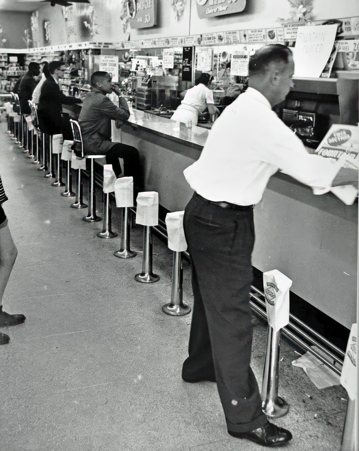
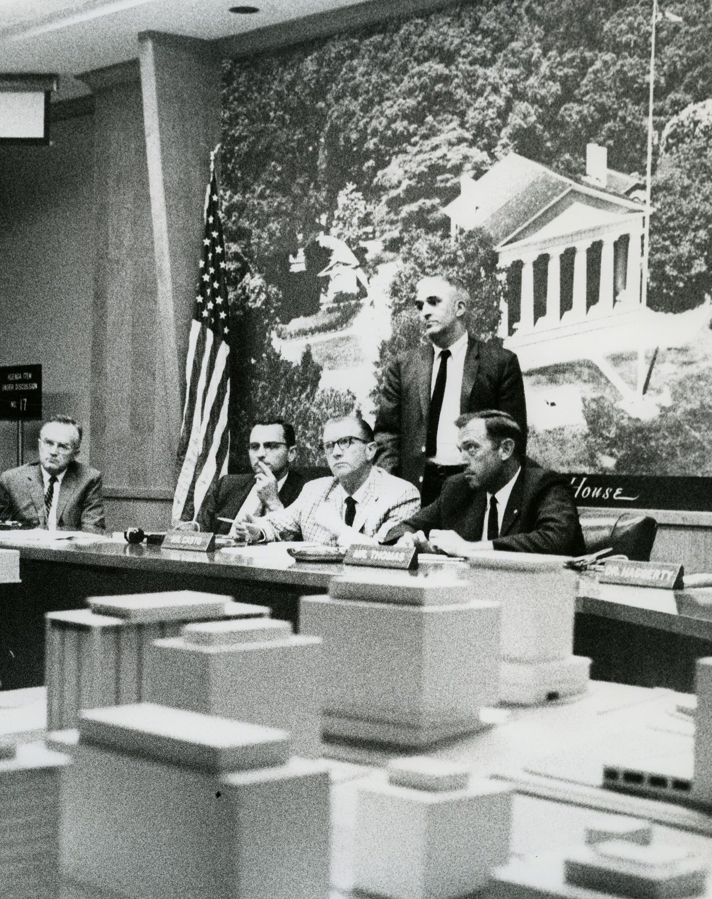
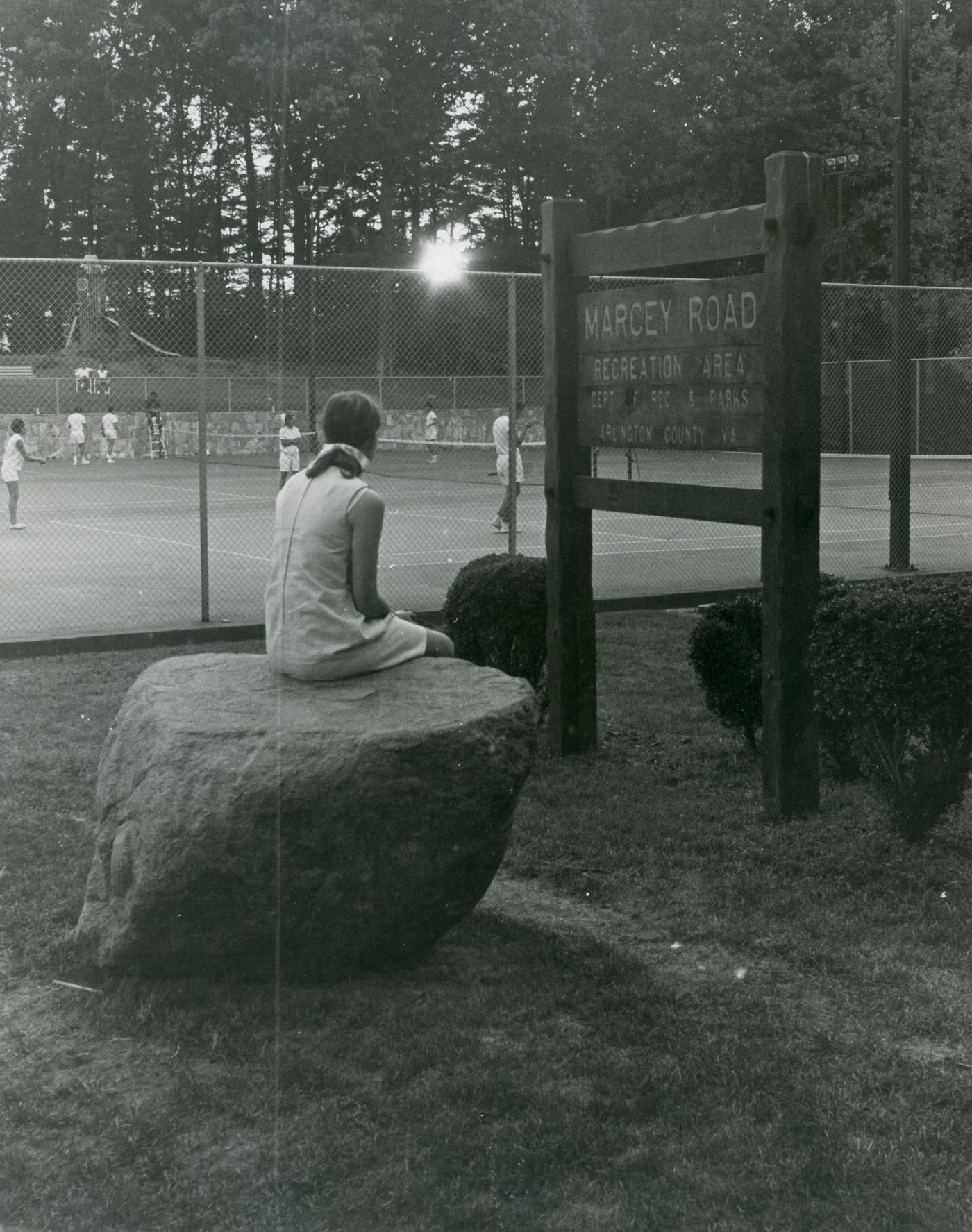
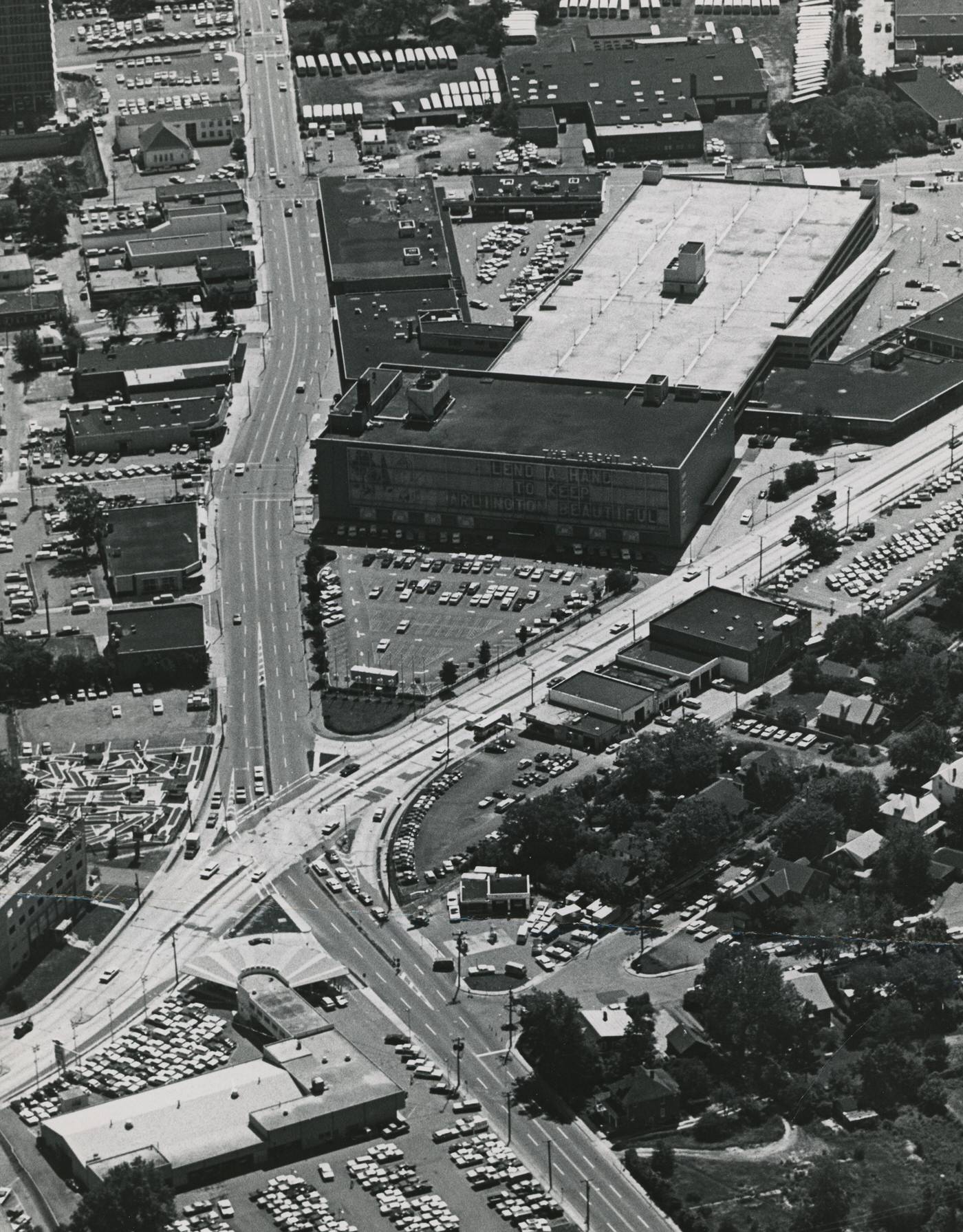
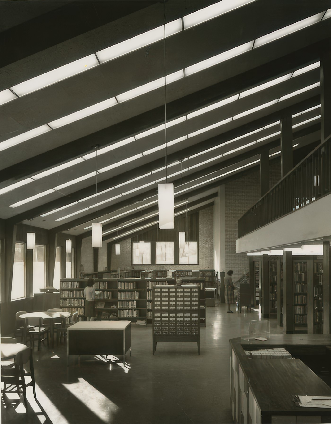
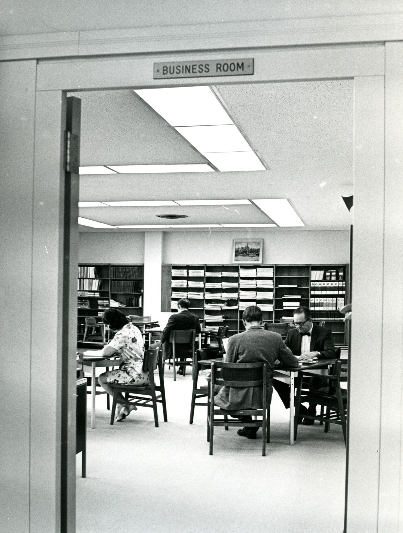
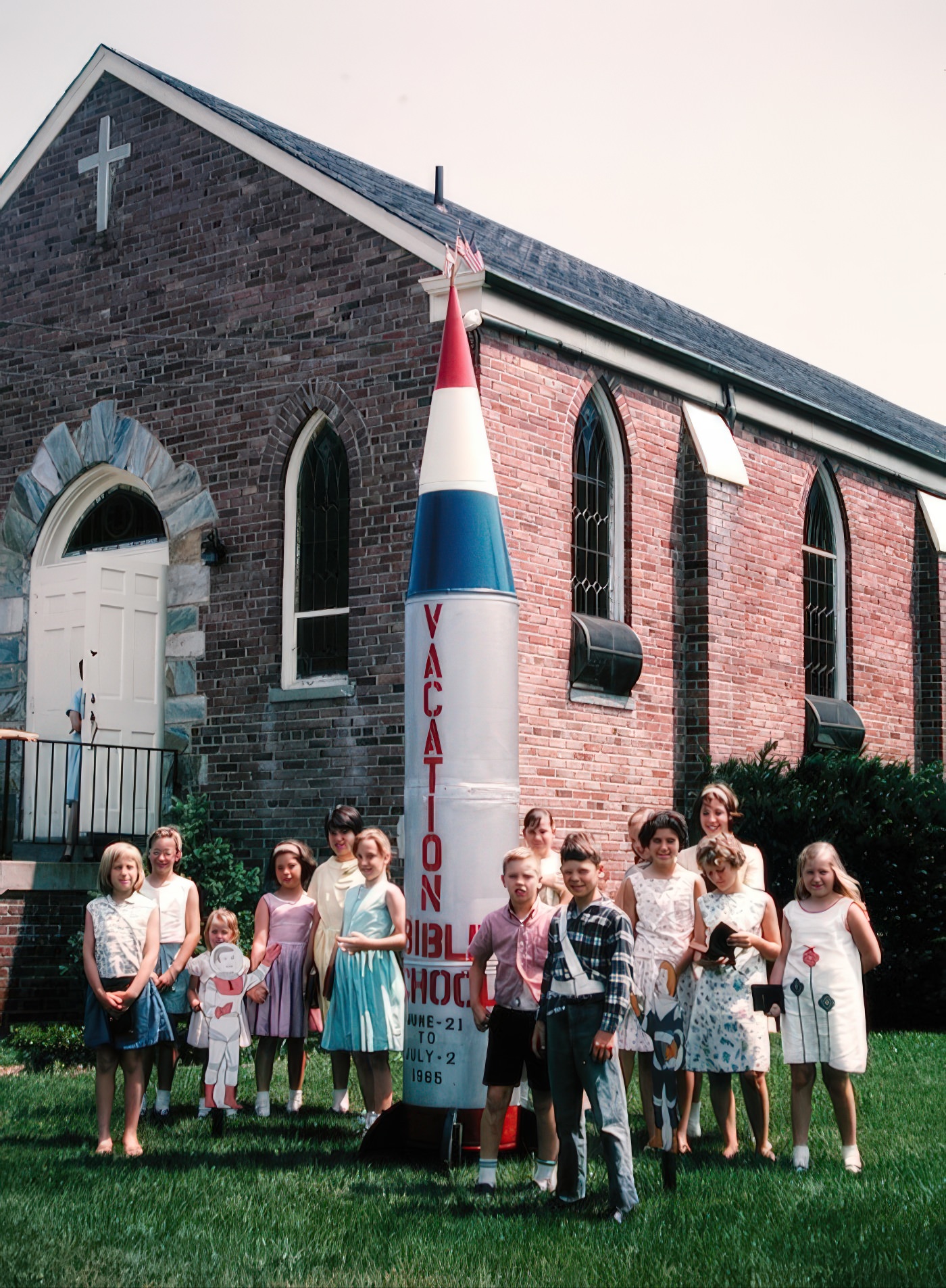
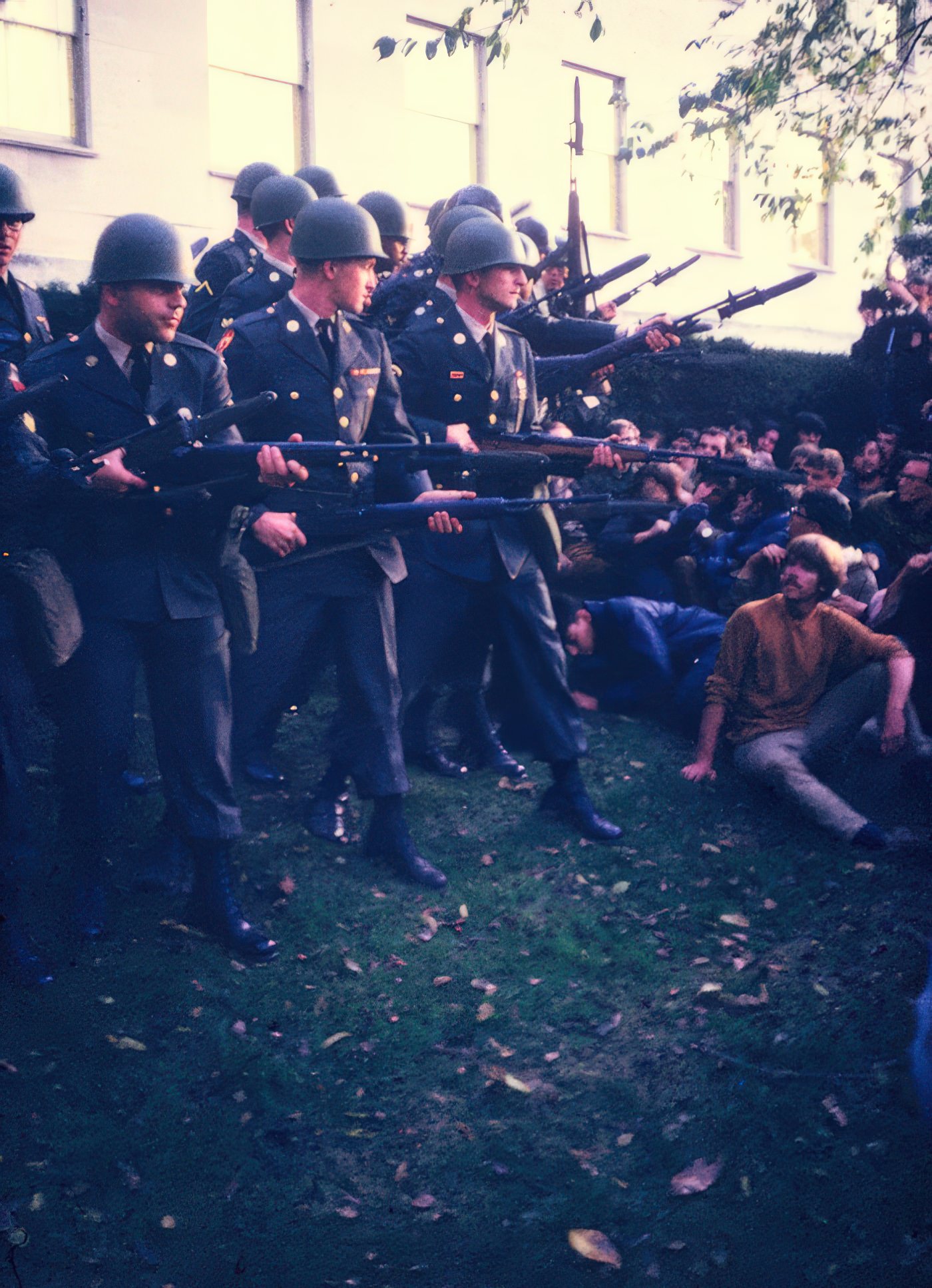
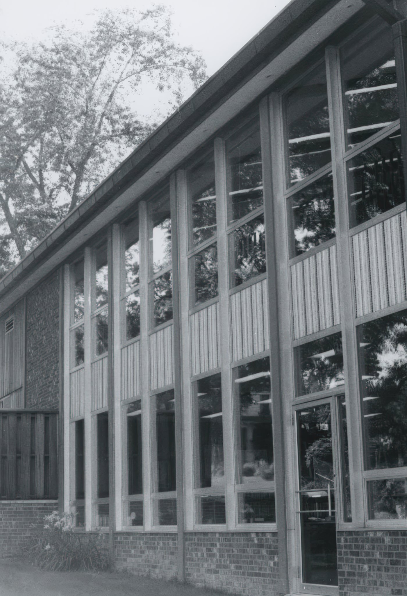
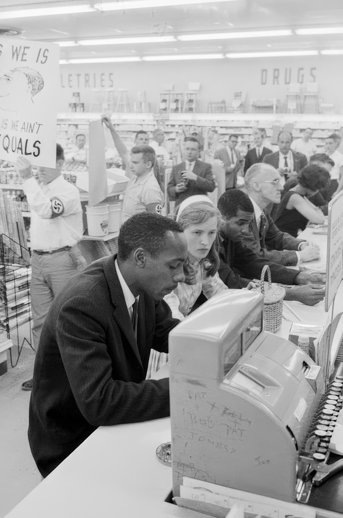
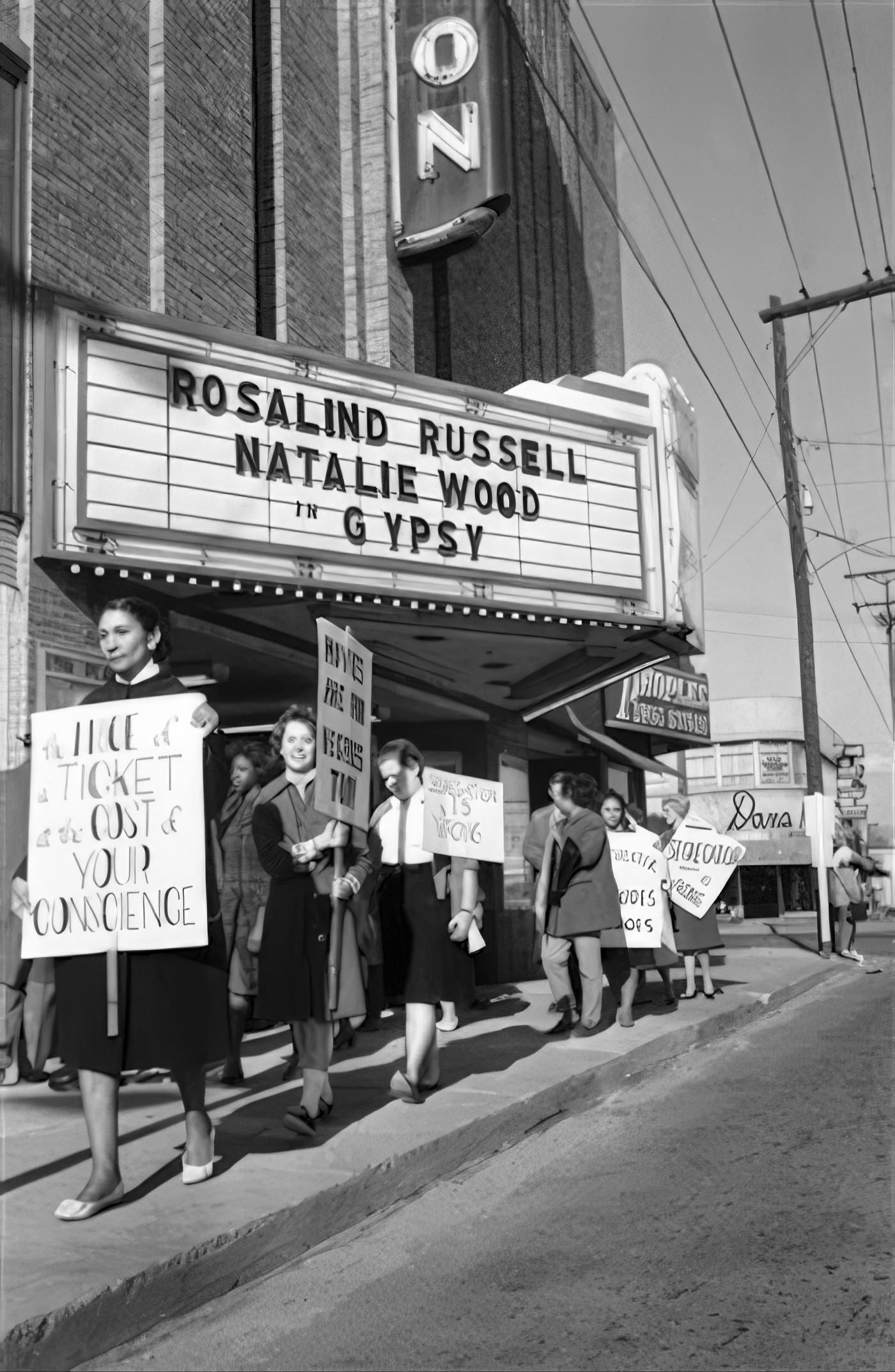
Image Credits: Arlington Public Library, Library of Congress, Flickr, Pinterst,
Found any mistakes? 🥺 Let us Know