The 1970s marked a significant period for Arlington, Virginia. The county experienced a transformation from its more suburban past into a bustling urban area. This shift was shaped by new transportation systems, changing populations, and the arrival of diverse communities. Throughout this time, Arlington continued to develop and adapt, creating a unique local experience.
A Shifting Landscape: Homes and People
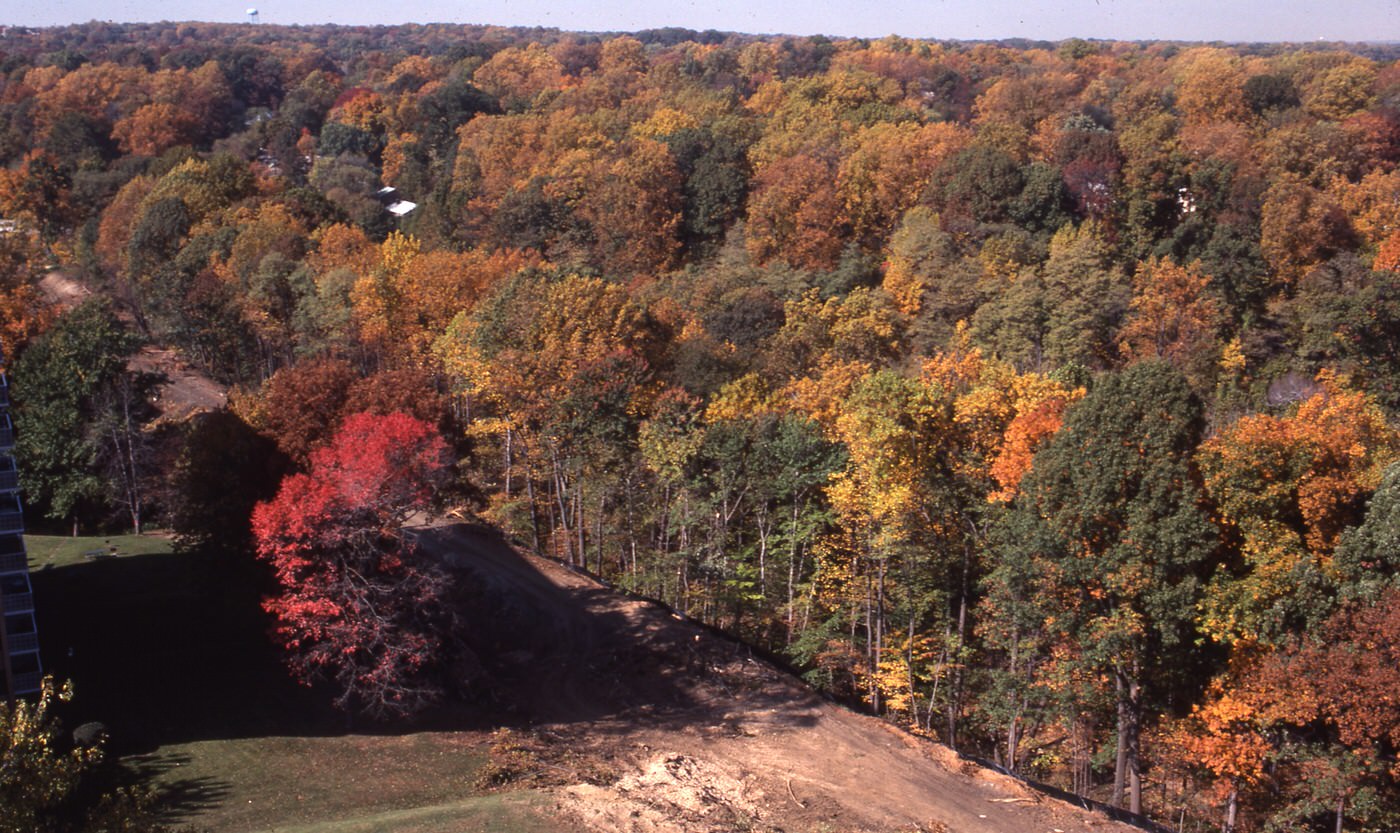
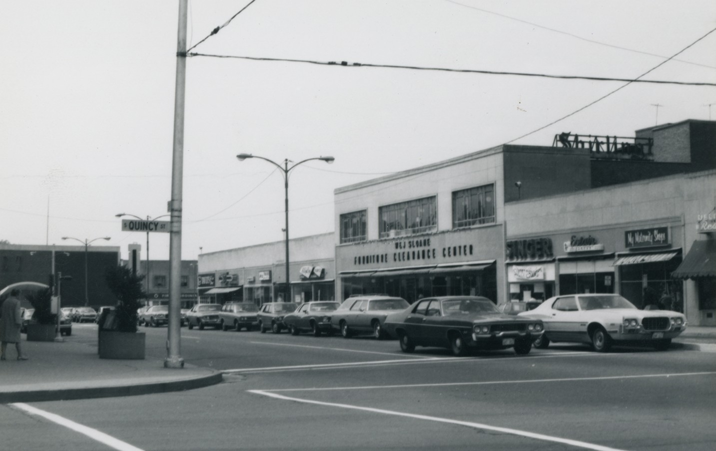
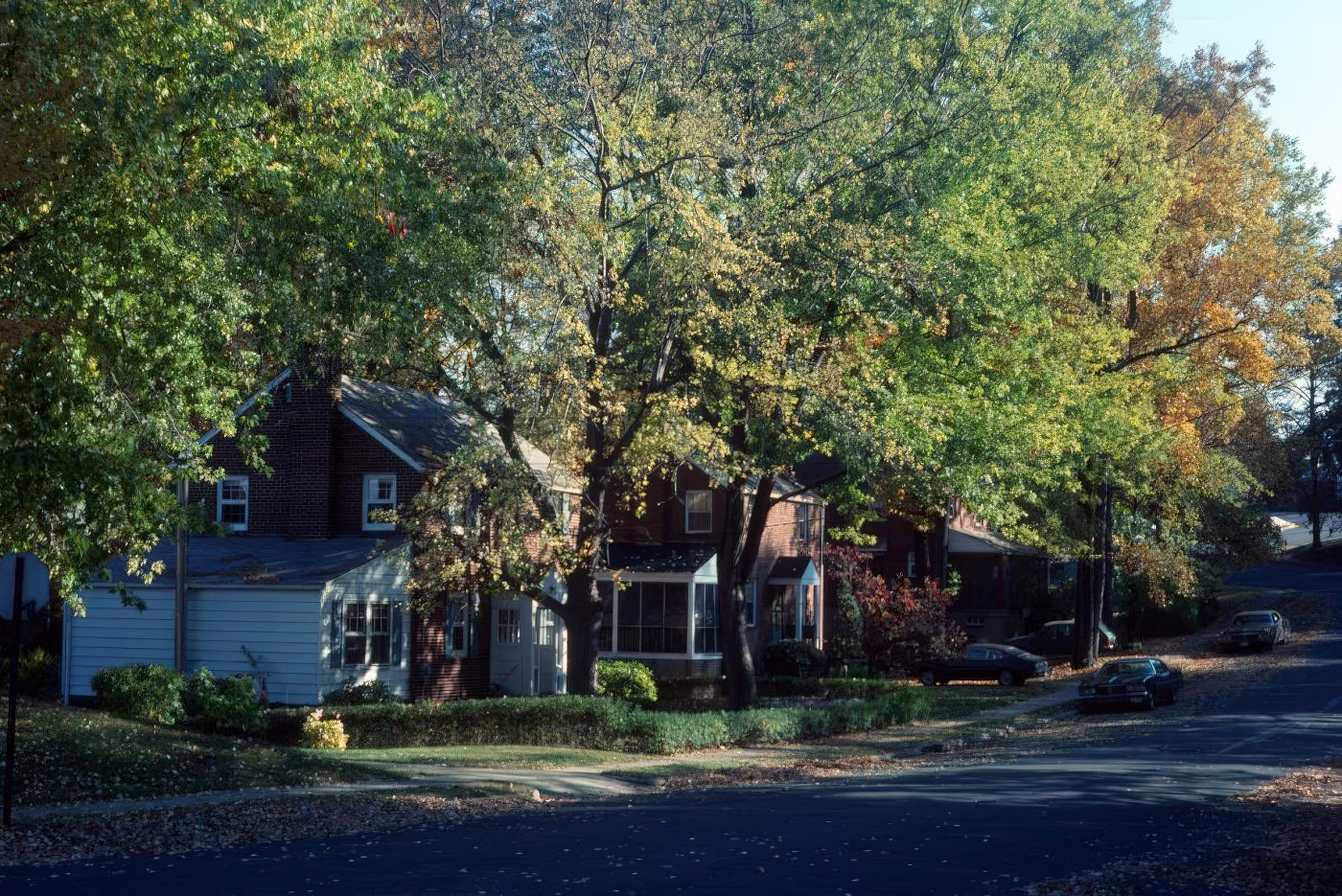
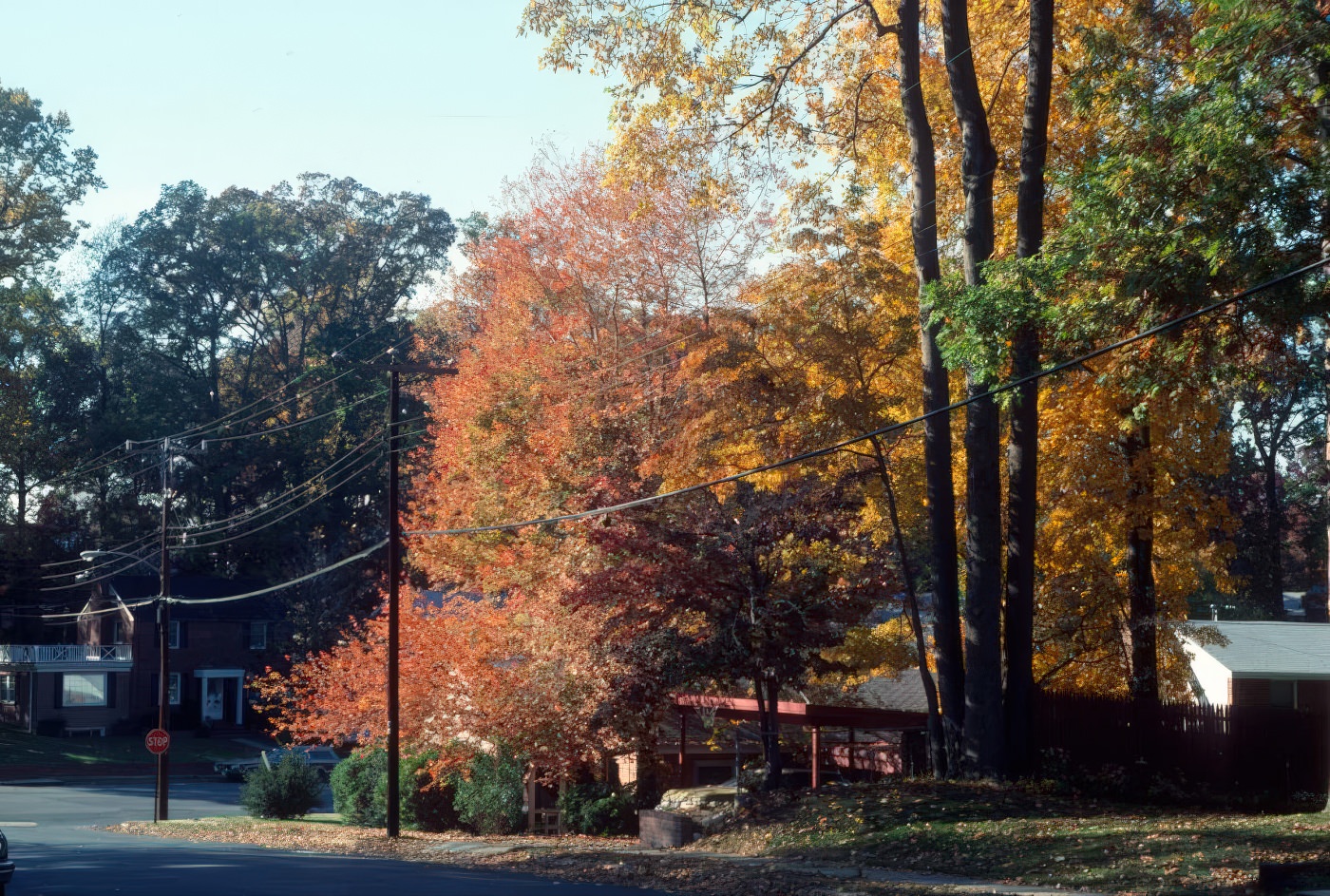
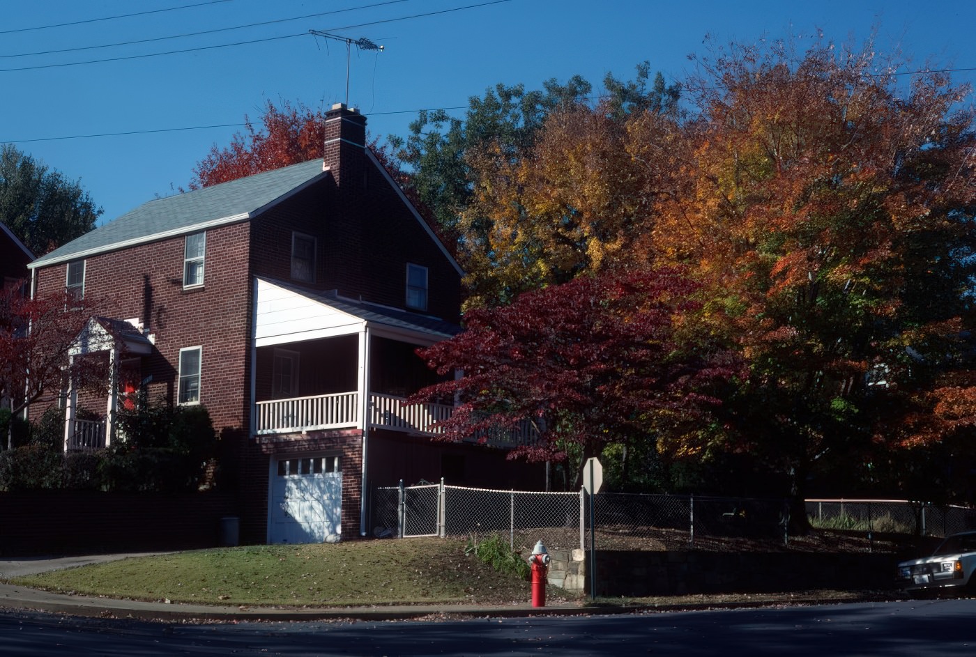
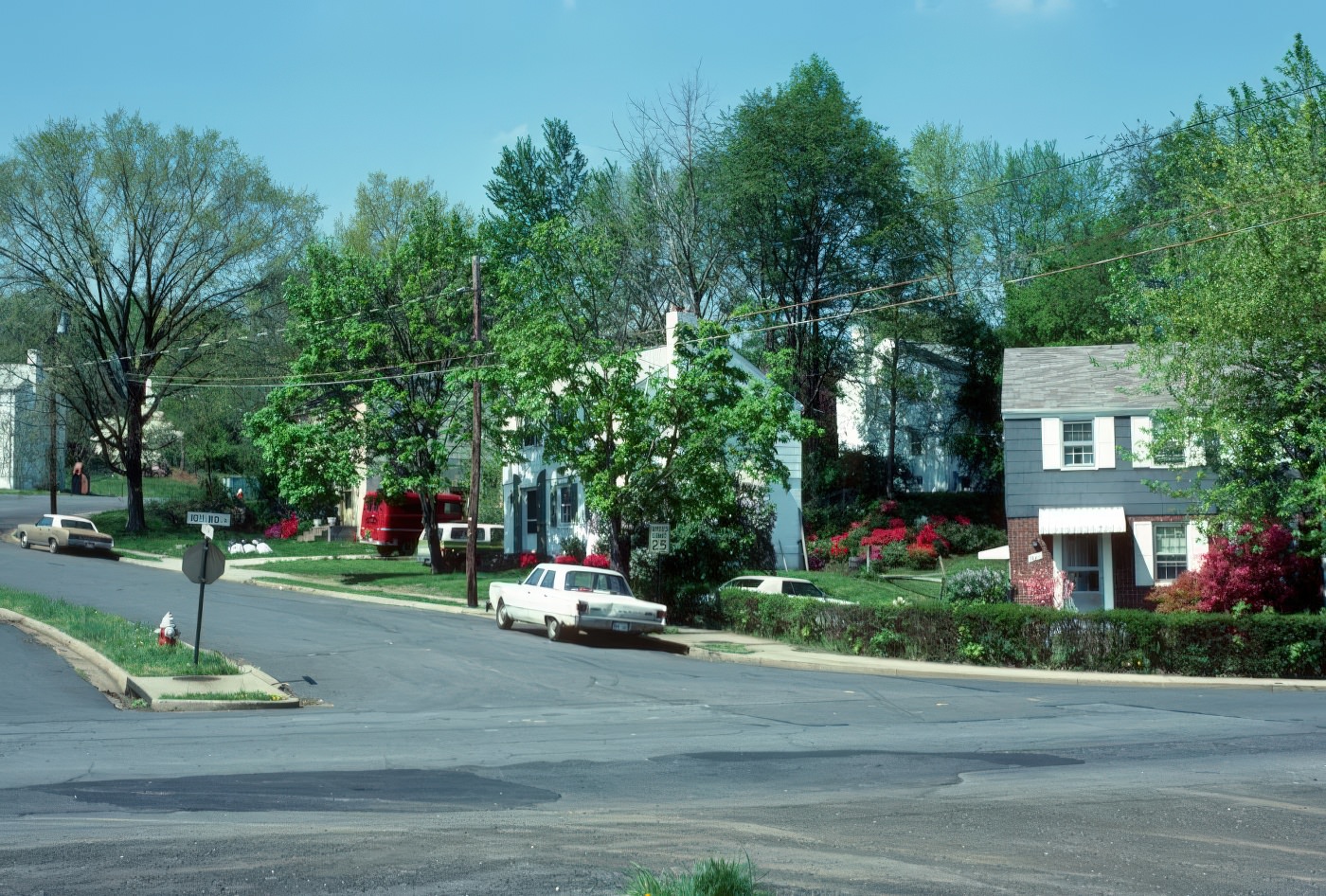
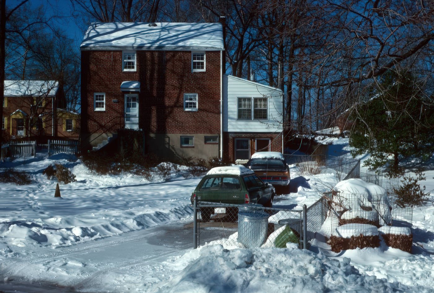
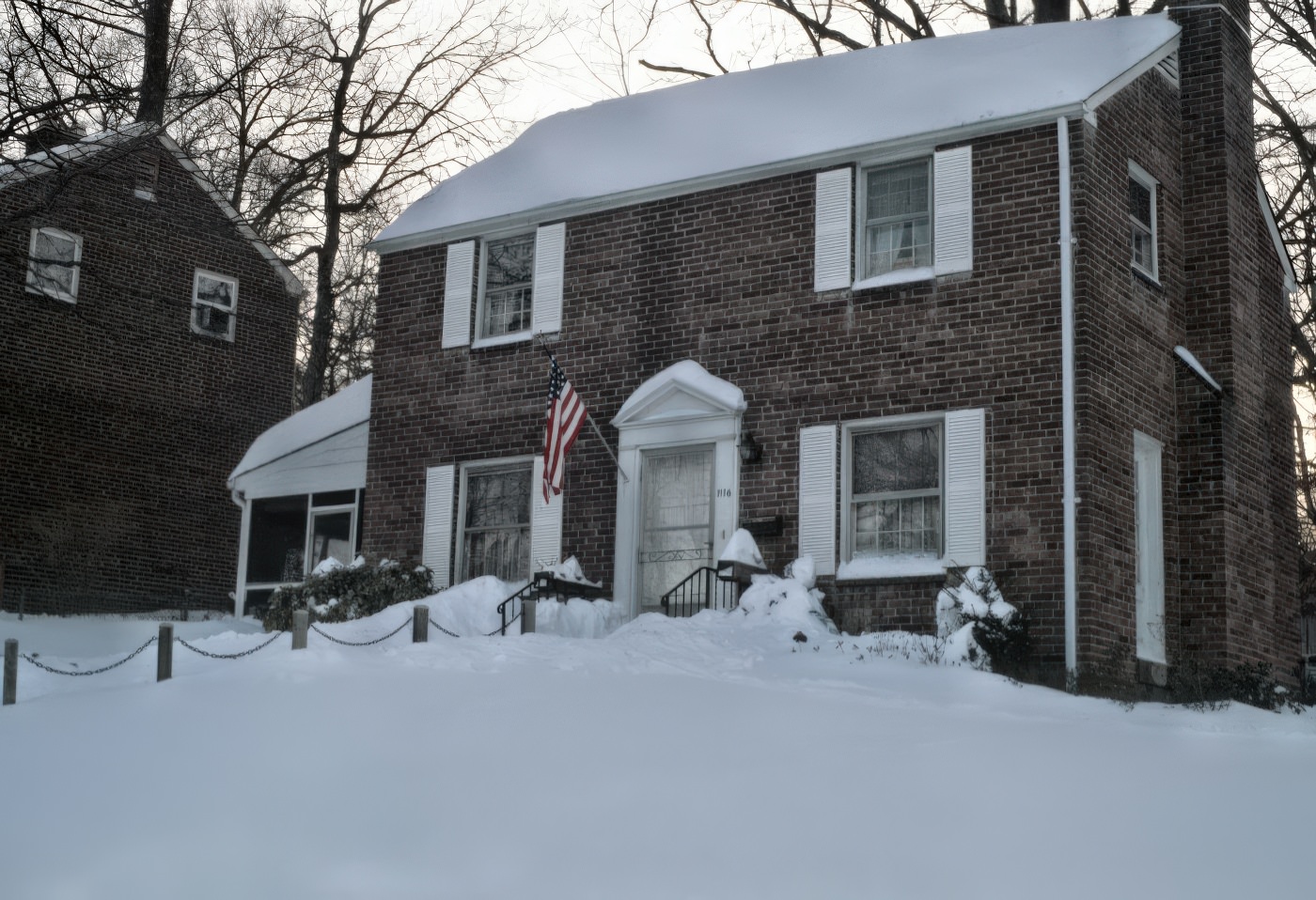
Arlington in the 1970s showed clear signs of moving away from its earlier, more rural character. Areas like Arlington Forest, which once featured open fields covered in daisies and woodlands, were converted into neighborhoods with neat rows of brick colonial homes. Large housing developments, such as Buckingham, introduced garden apartments that blended the qualities of city and suburban living. This marked a continuous process of urbanization where the county’s landscape gradually evolved. The shift from open fields to organized housing highlighted a physical transformation, indicating less open space as development progressed.
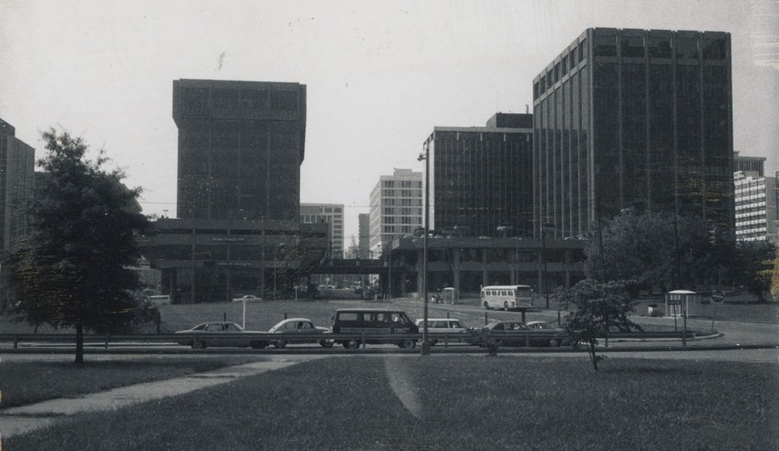
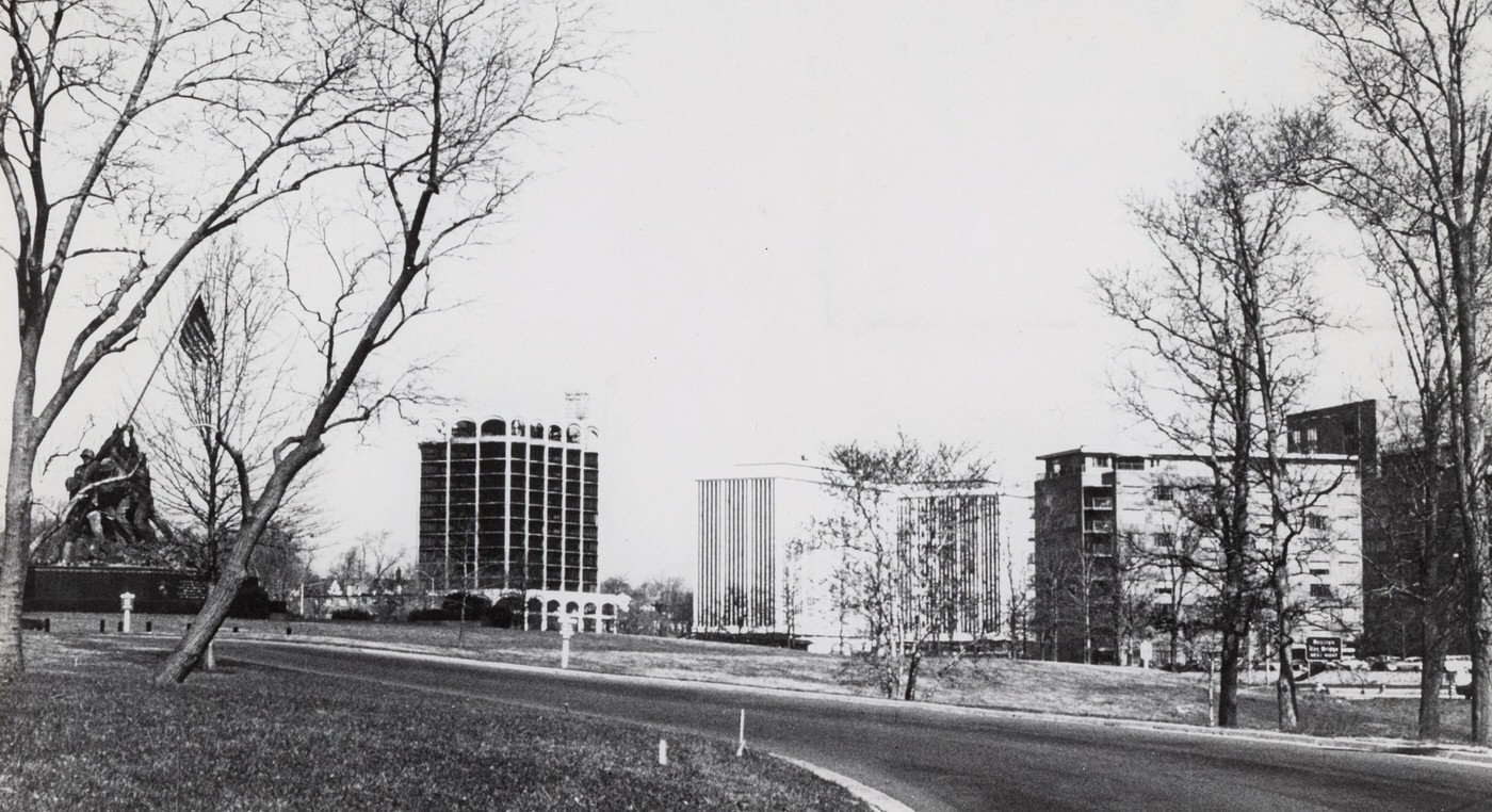
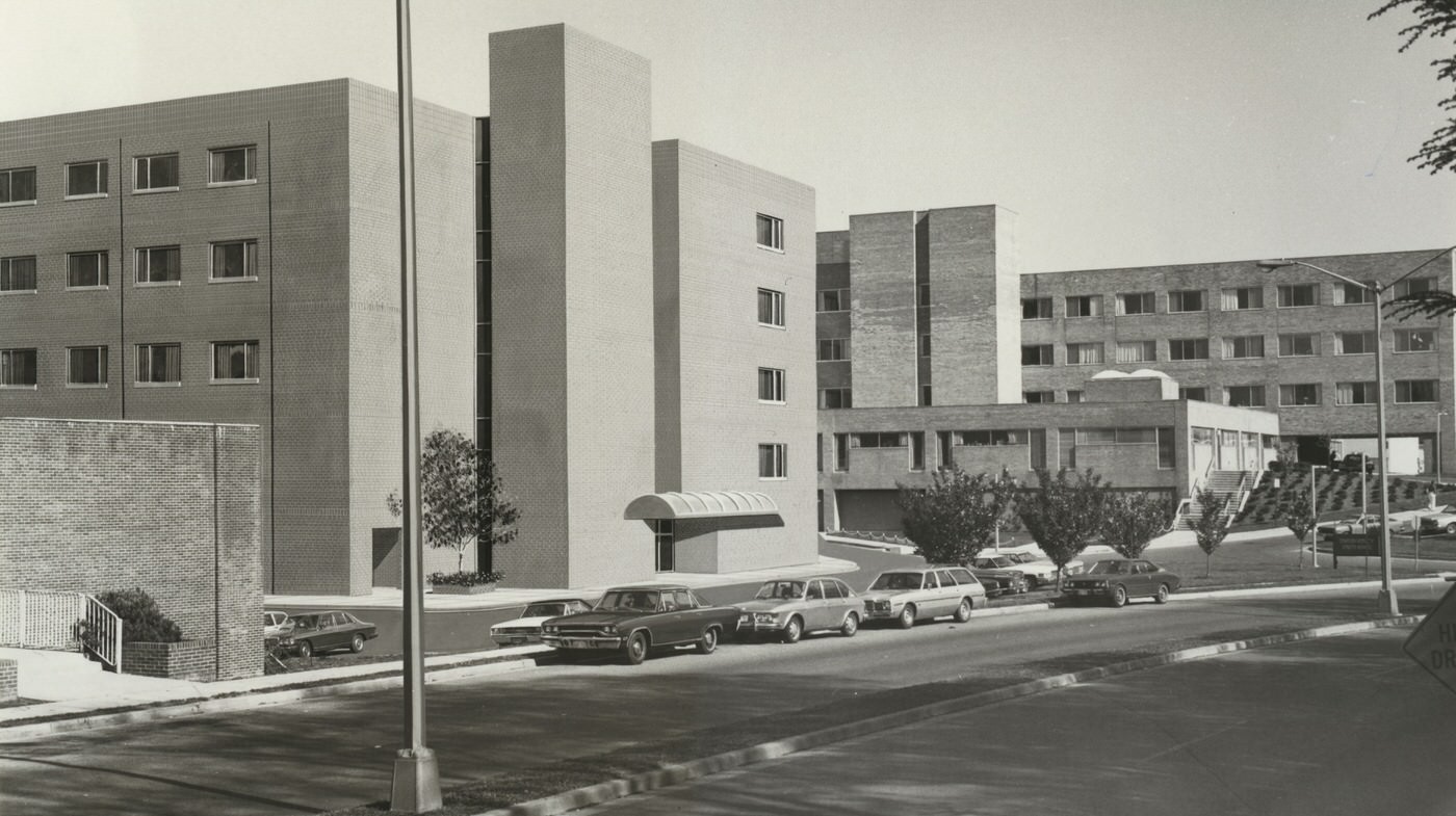
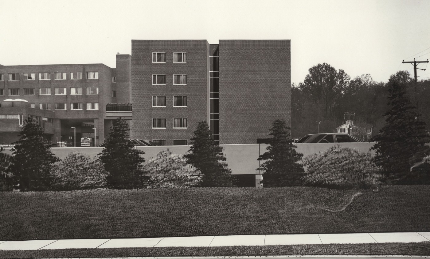
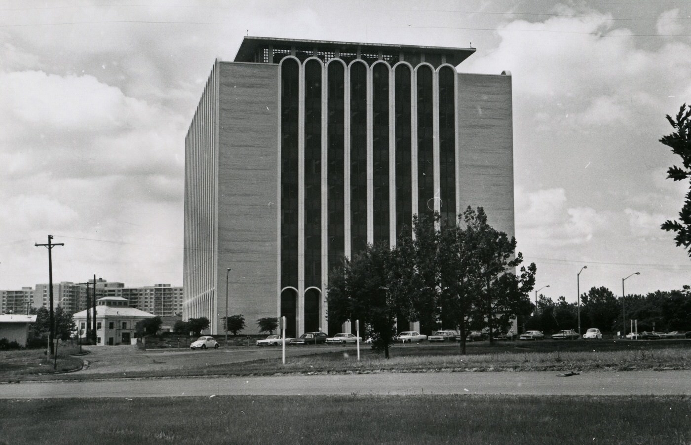
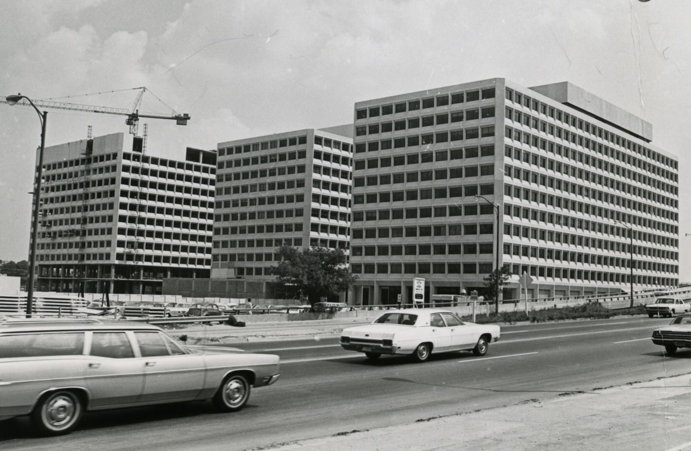
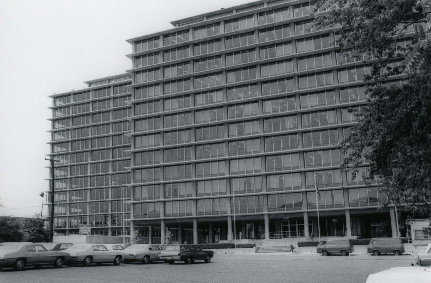
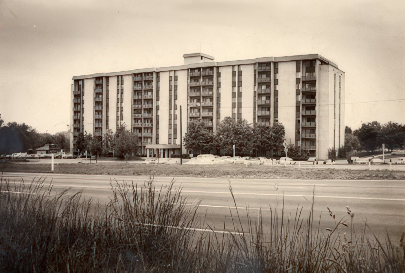
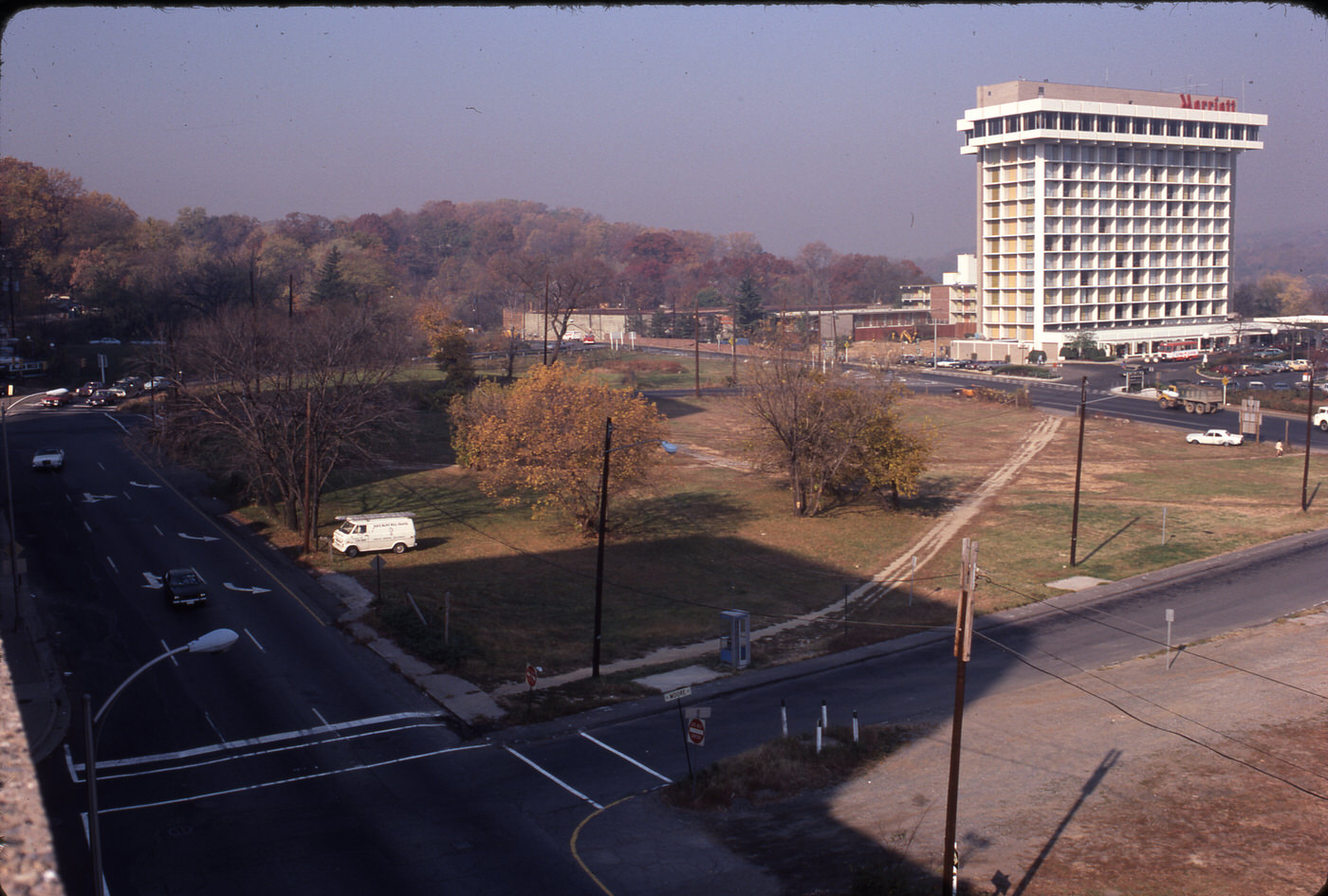
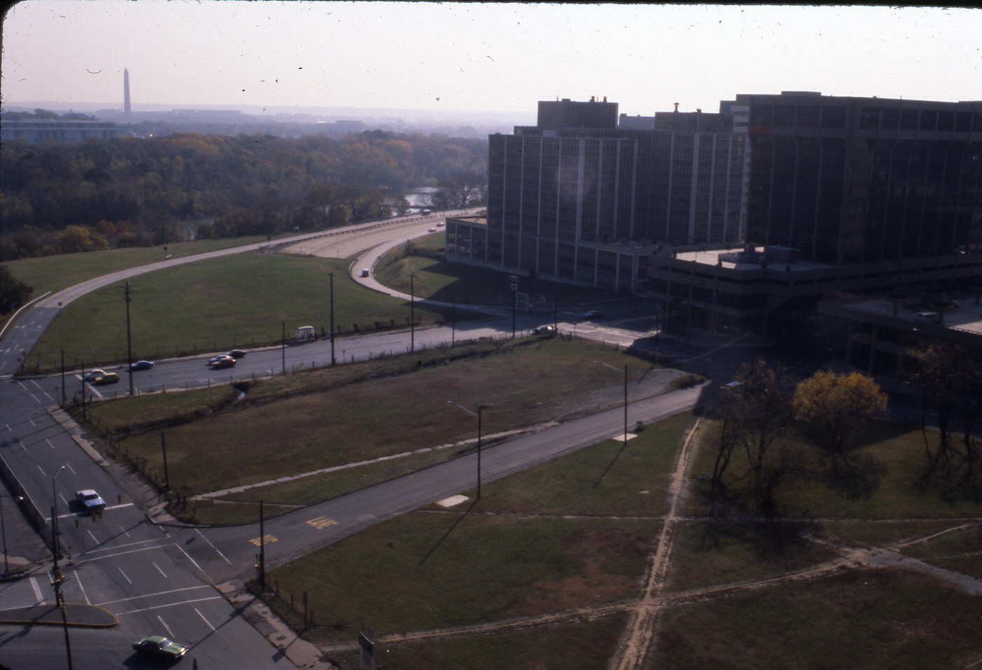
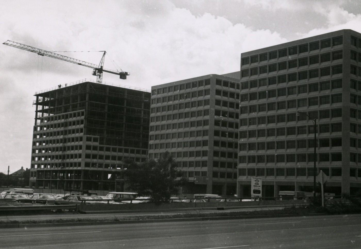
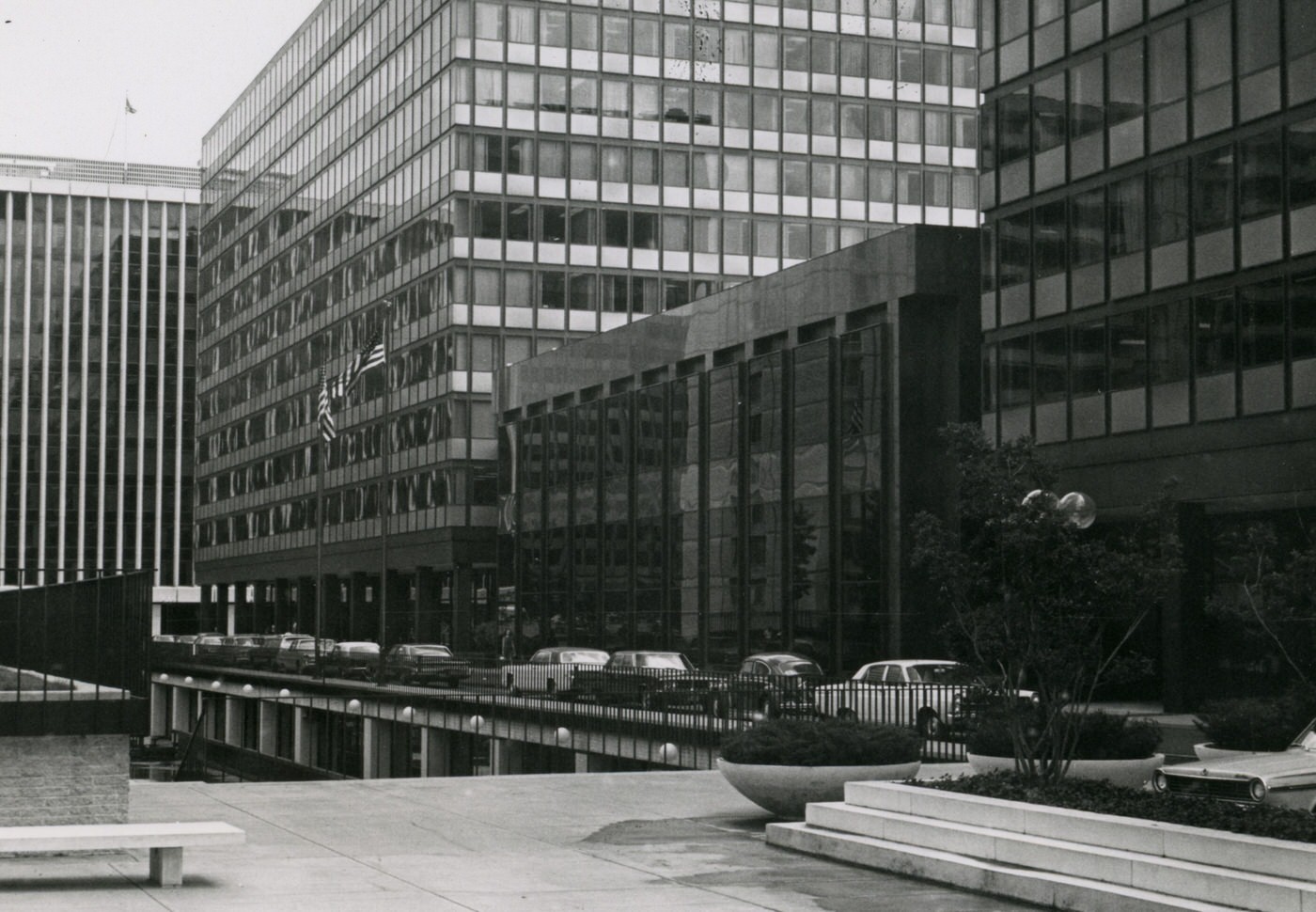
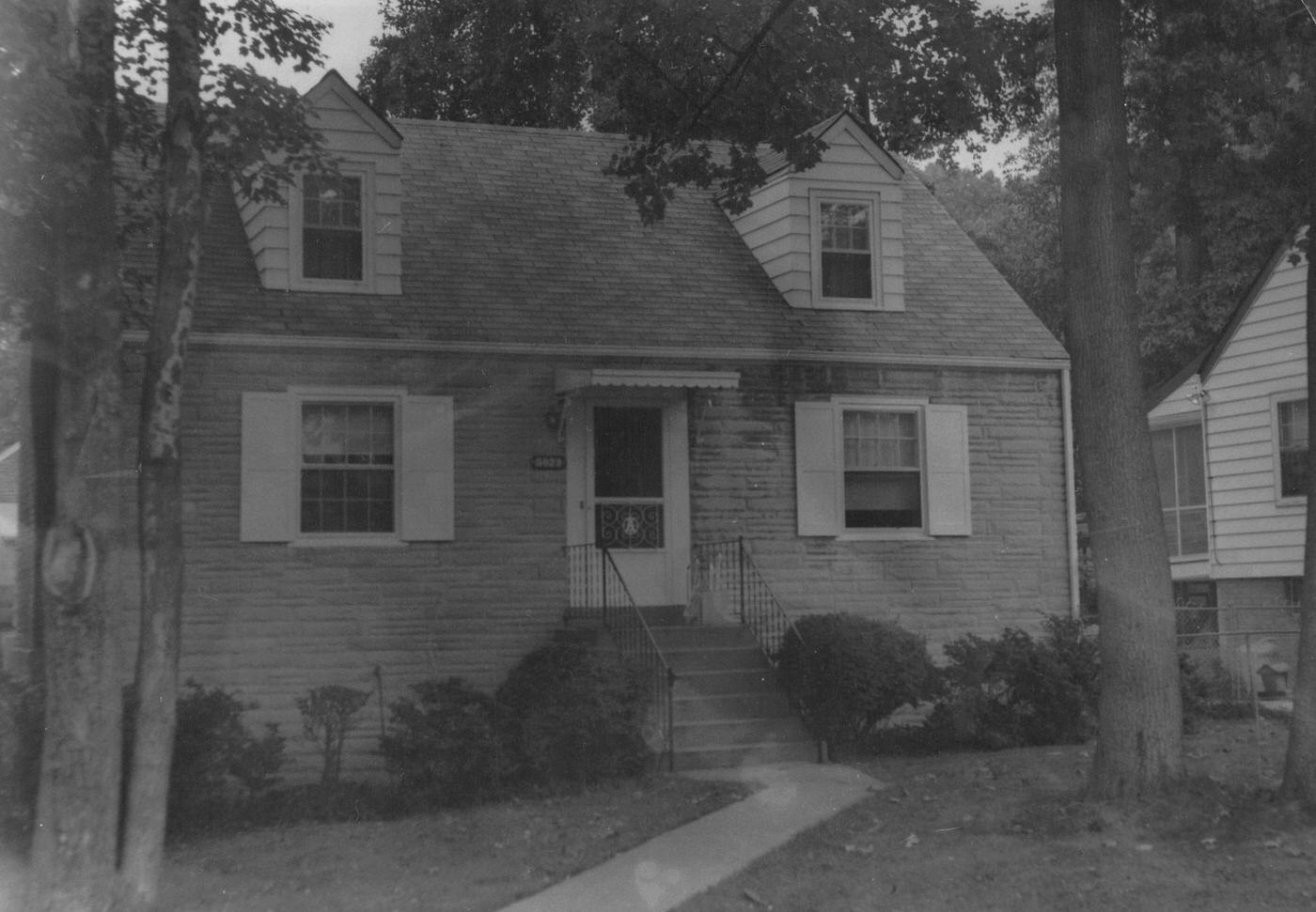
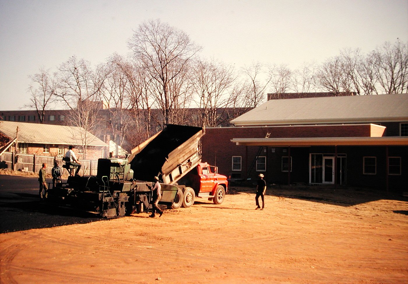
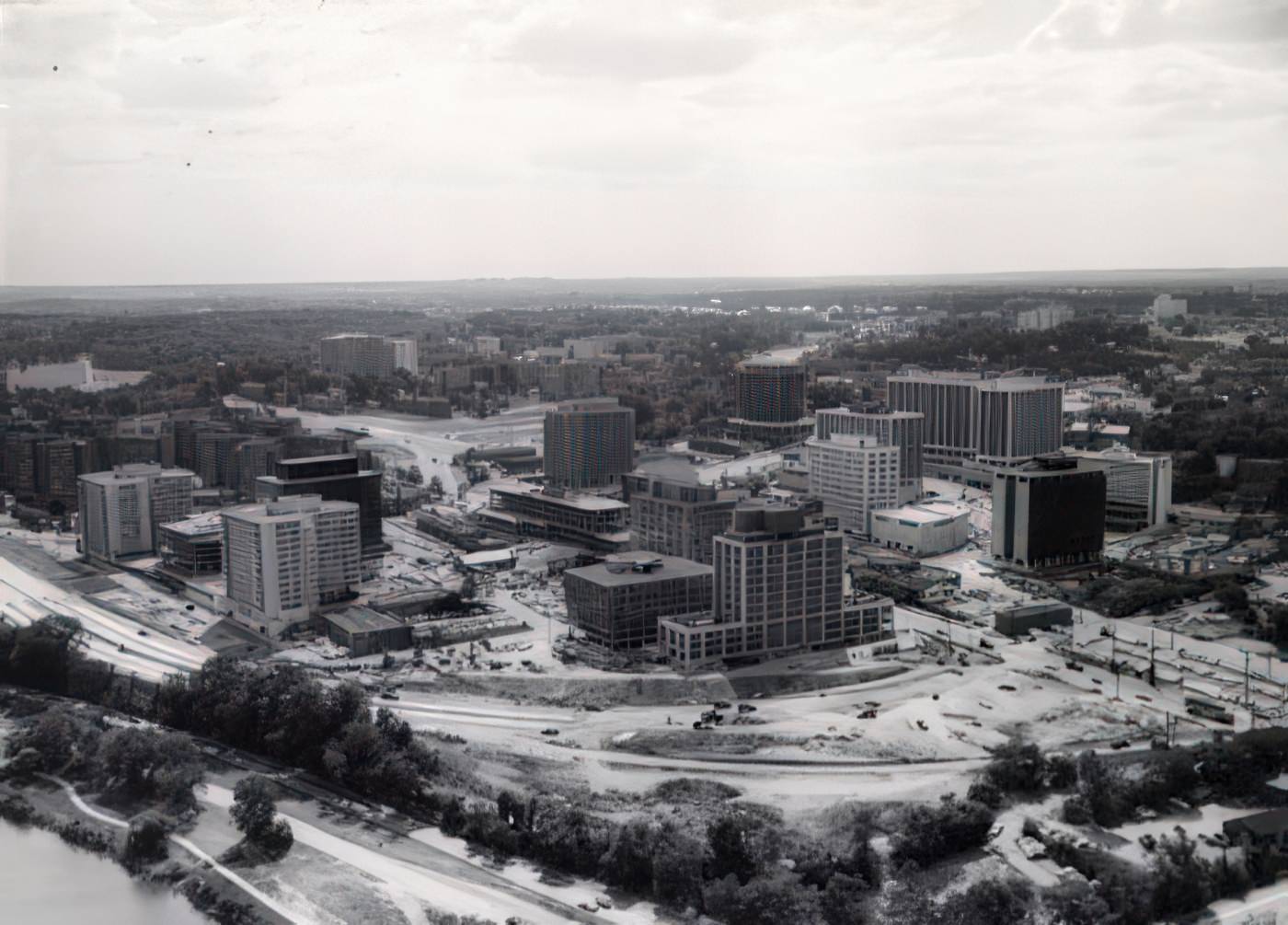
Many new homes built during this period were small bungalows or prefabricated, four-square designs. Following World War II, Arlington had expanded its housing outwards, reaching its limits by the 1960s. This meant the county was largely “built out”. Because there was little land left for new horizontal growth, developers began building upward, leading to the construction of the first high-rises and multi-story apartment buildings in the 1970s. This change in housing strategy was a direct response to limited space, not just an increase in population. It showed a strategic shift in how the county was built.
Arlington County’s population in 1970 was 174,284 people. The Virginia portion of the Washington, D.C. metropolitan area saw a large population increase between 1960 and 1970, growing by 53 percent. Across Virginia, most of the population growth happened in metropolitan areas. While the total number of households increased, the average household size decreased from 3.5 to 3.2 persons. This indicates a broader trend of urbanization in Virginia, with Arlington playing a key role in the D.C. area’s expansion. The smaller average household size suggests changes in family structures, such as fewer children or more single-person homes, which affected the demand for different types of housing.

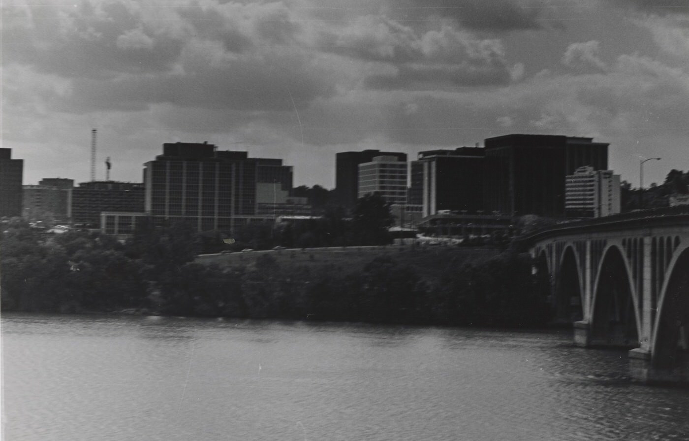
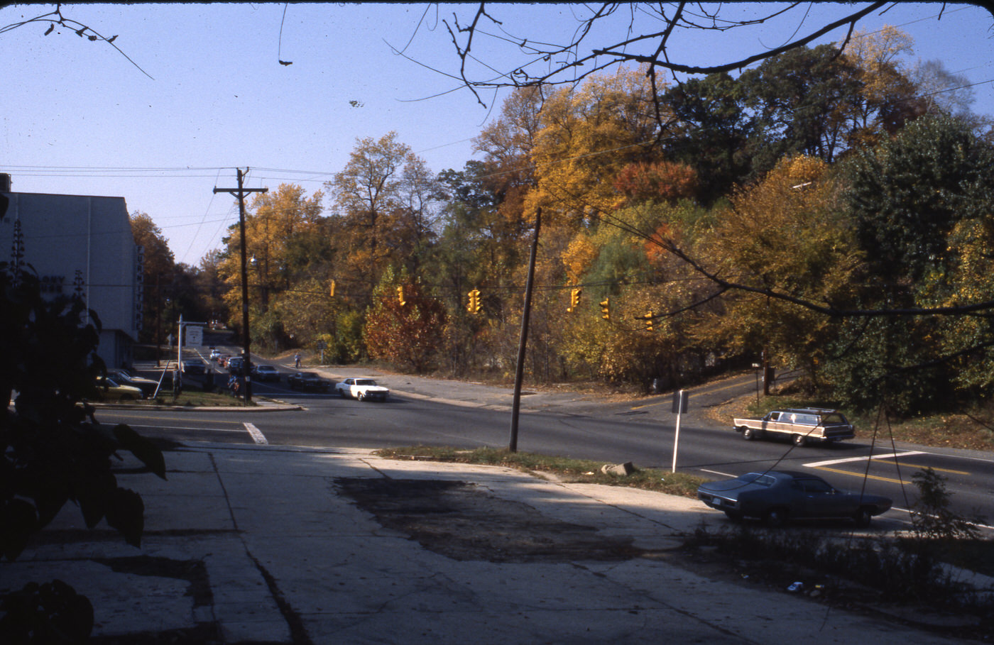
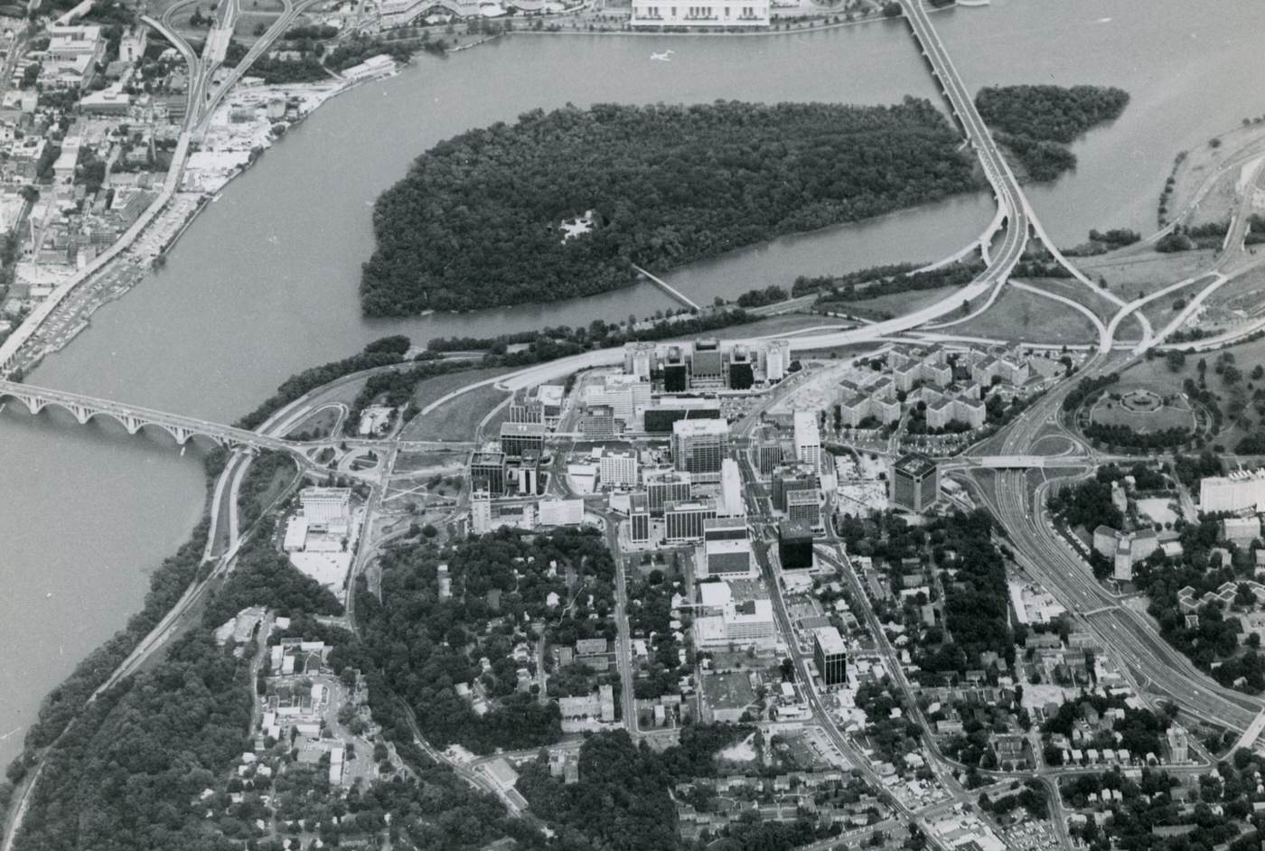
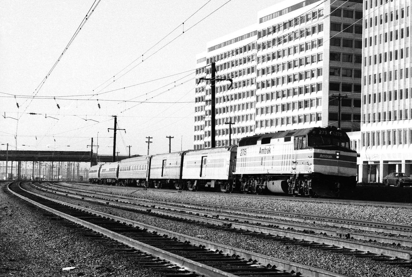
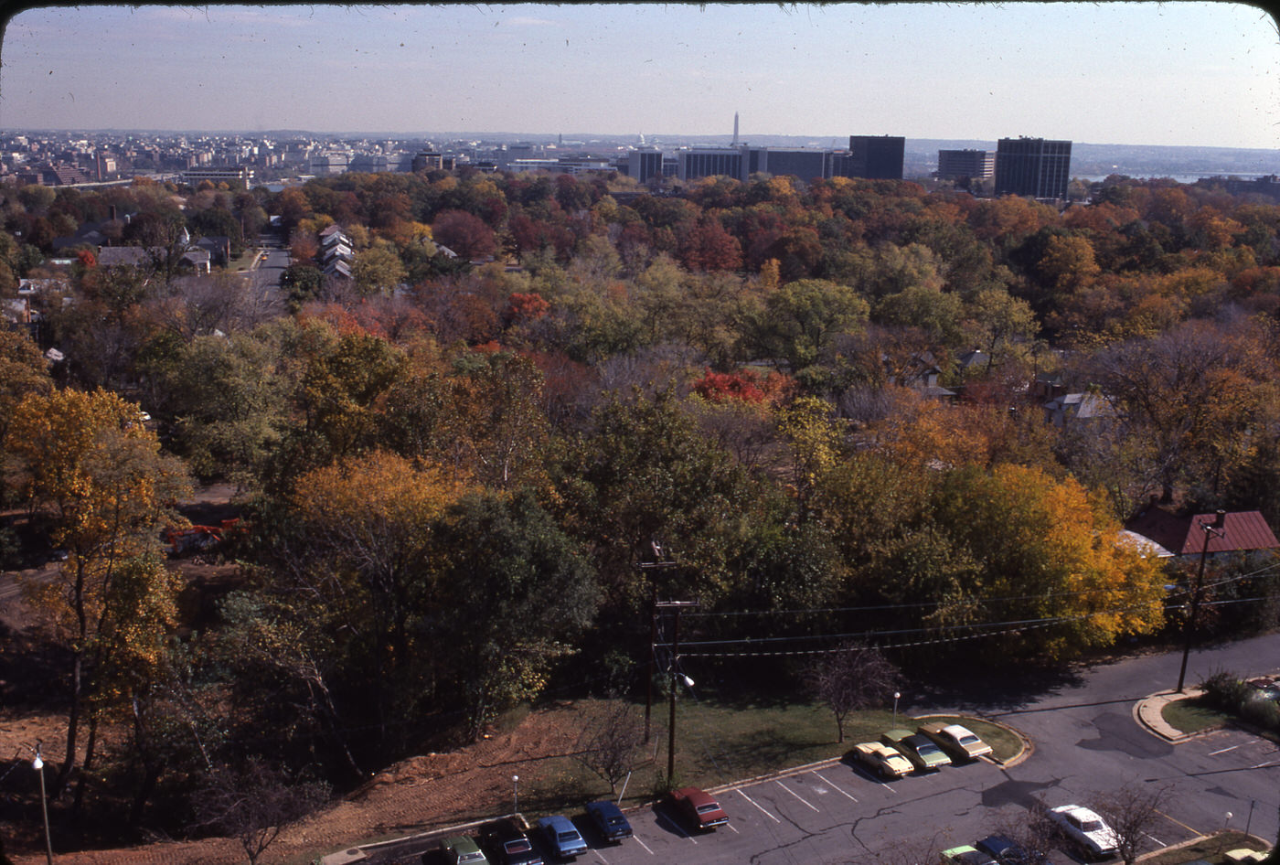
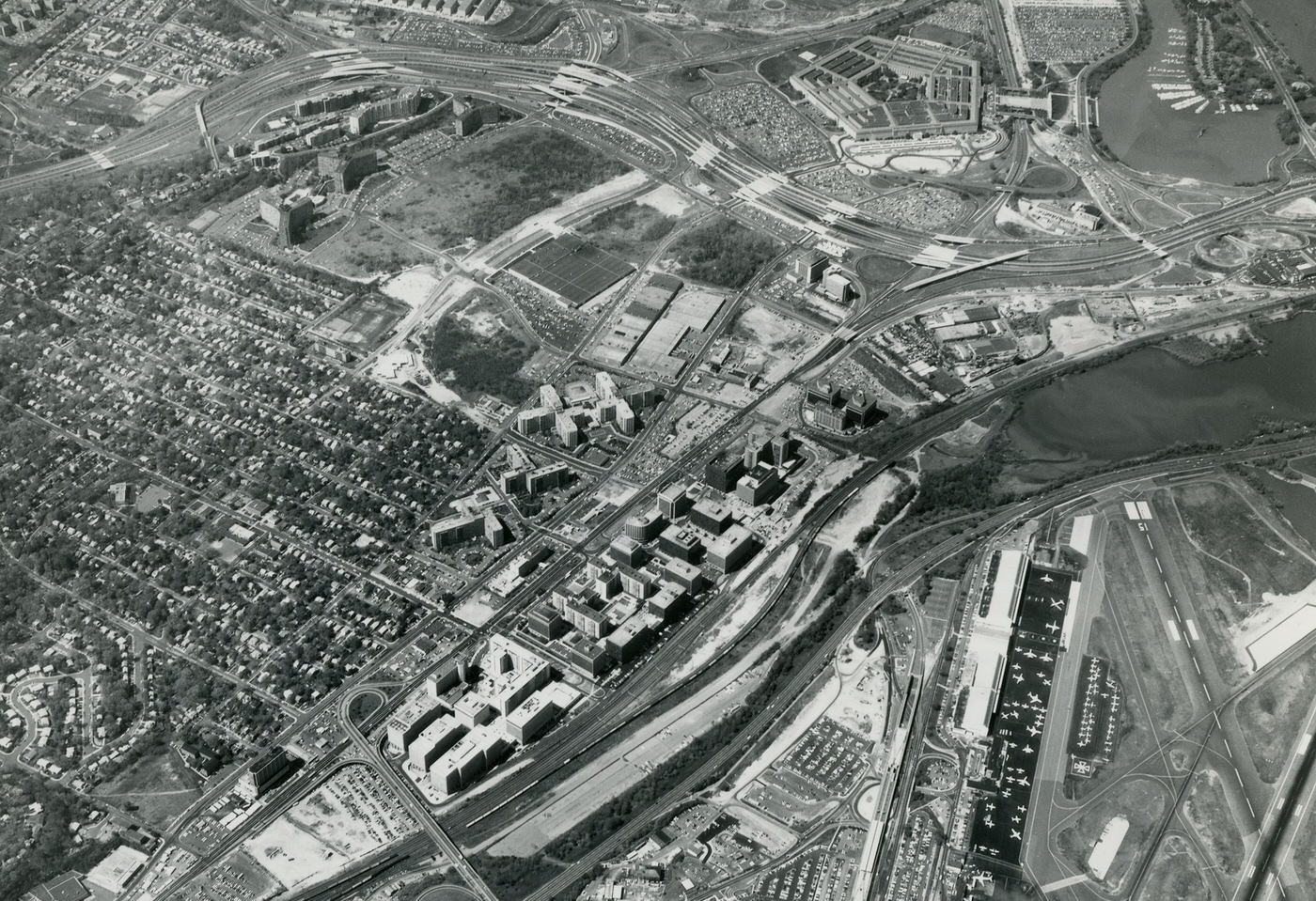
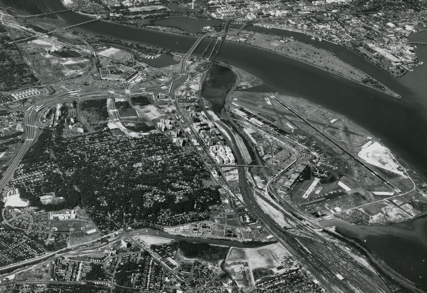
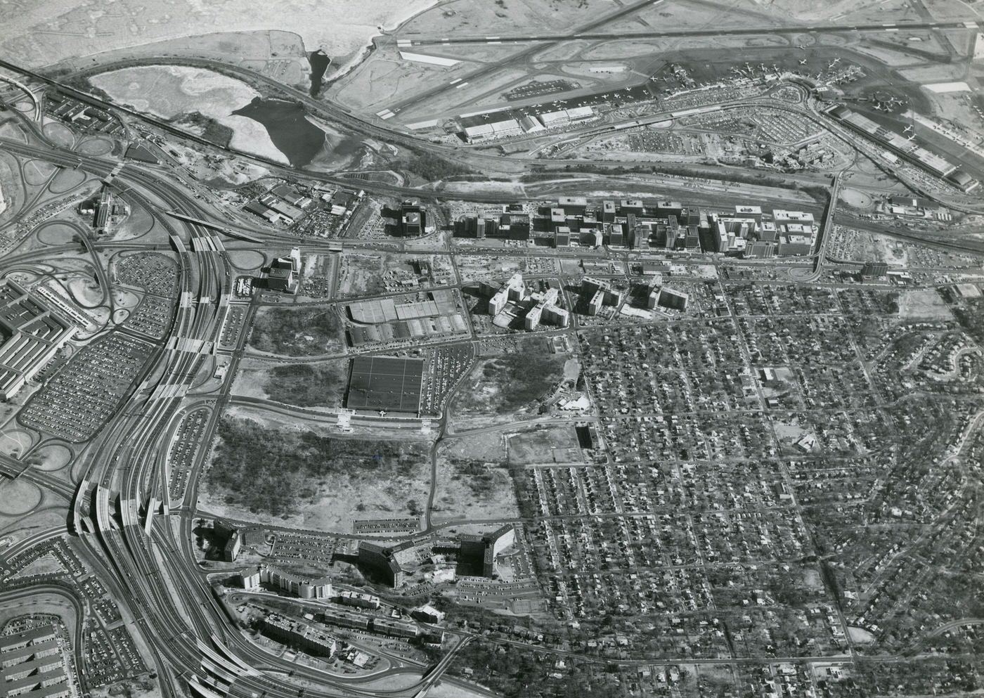
Housing density in Arlington increased during the 1970s, especially with the completion of Interstate 66. As a result, more people lived along major transportation routes, while the population in areas further from these routes started to decline. This demonstrates a direct link between new highways and transit lines and the concentration of development. Transportation infrastructure acted as a driver for density, leading to a redistribution of residents within the county.
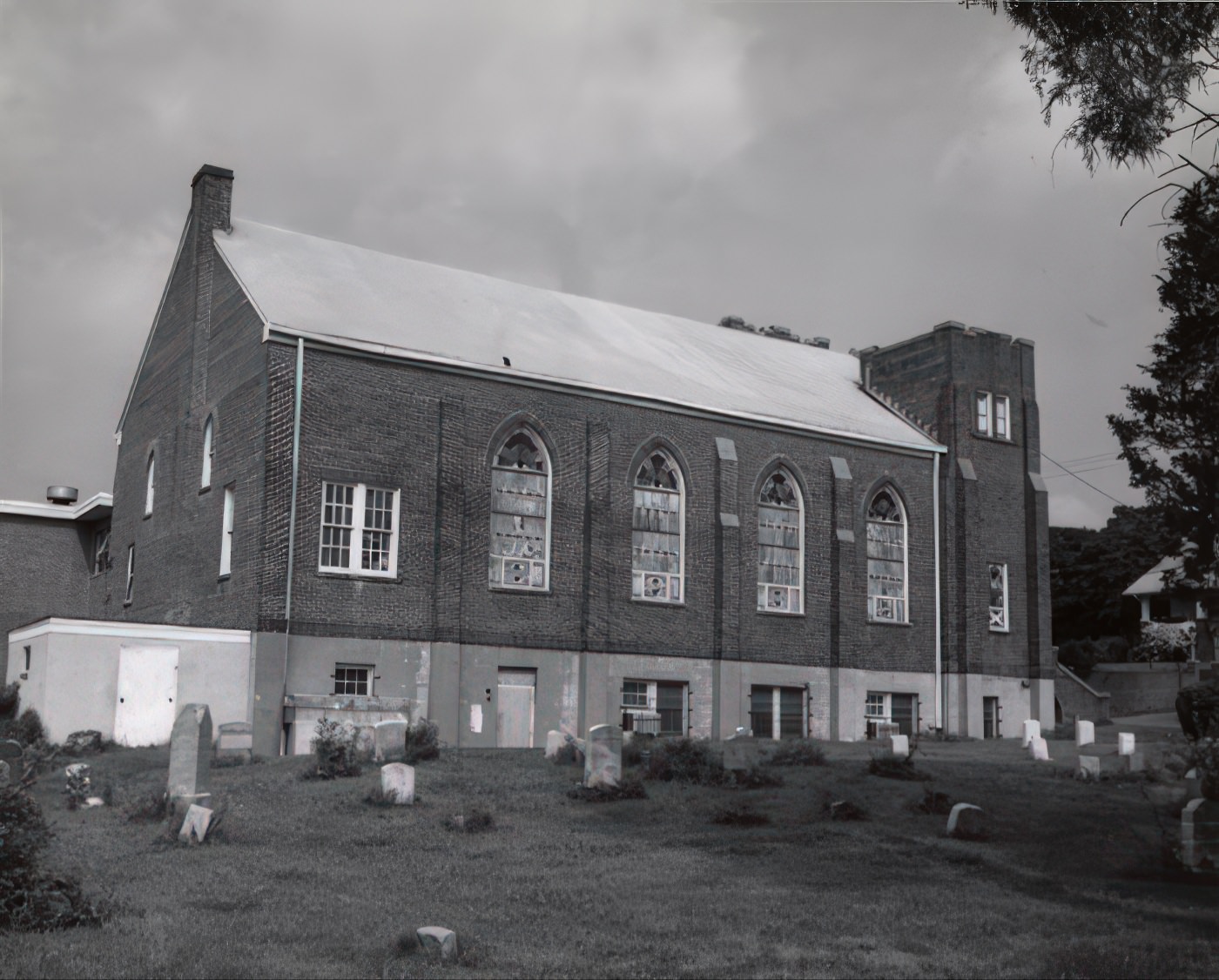
The Colonial Revival style became very popular for homes in Arlington during this decade. This architectural style copied the look of buildings from the American Revolution. The popularity of this traditional style for new homes, even as the county was becoming more urban and building high-rises, suggests a cultural preference for familiar aesthetics. It reflects a desire to maintain a sense of historical continuity or comfort amidst rapid modernization and increasing density. This choice in architecture stands in contrast to the functional, high-density buildings also being constructed.
Local experts have expressed concerns that new construction is causing Arlington to lose the special character of its older homes and historic buildings. This highlights a tension between the county’s push for increased density and modern infrastructure, and the desire to preserve its historical identity. This struggle is a common challenge in rapidly developing urban areas.
Arlington County’s resident population decreased throughout the 1970s, from 174,284 in 1970 to 152,599 in 1980. This local decline happened even as the broader Washington, D.C. metropolitan area experienced growth. This data provides concrete support for the observation that while the county saw increased density along transportation routes, population in surrounding areas began to slip.


Building the Modern Arlington: Planning and Infrastructure
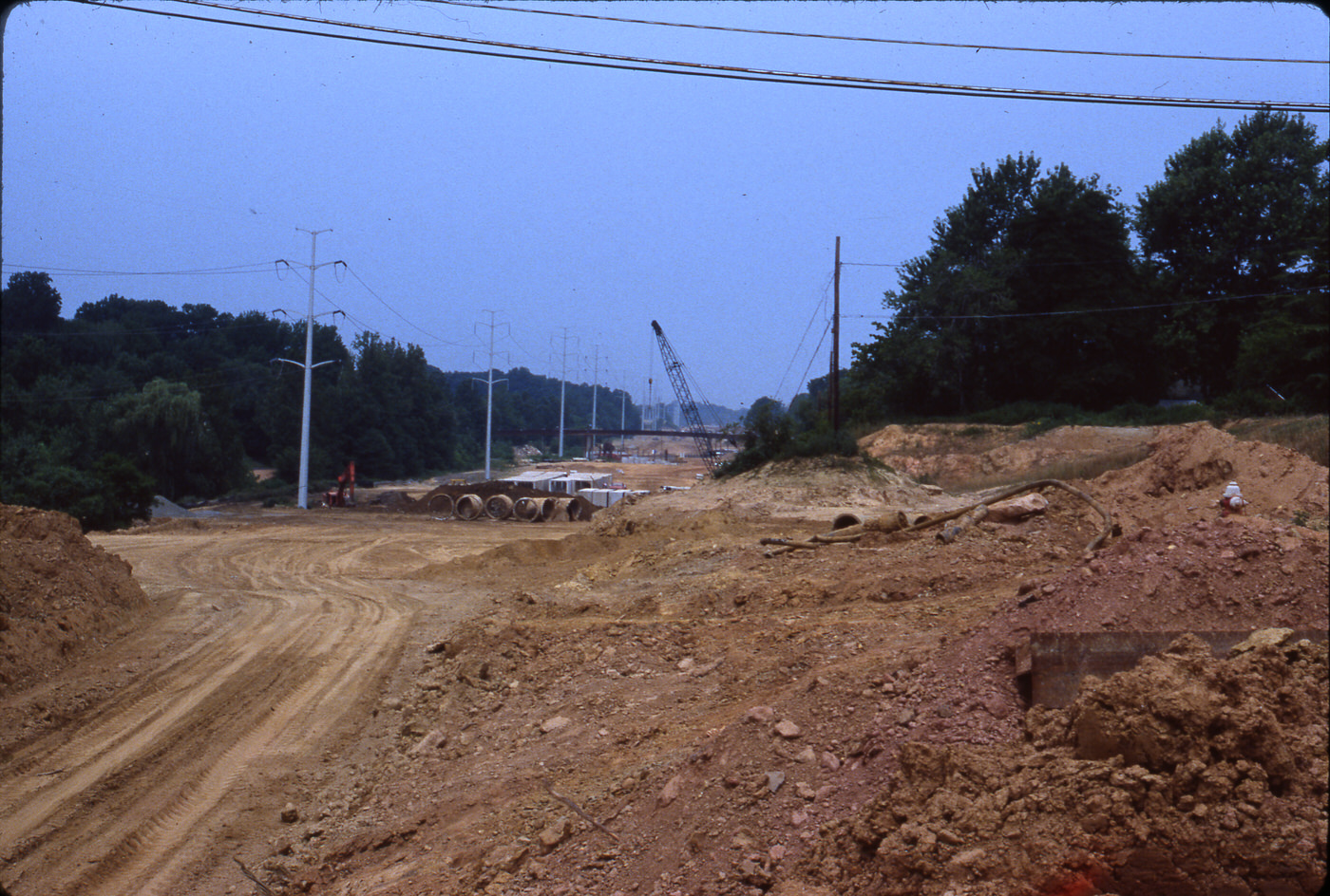
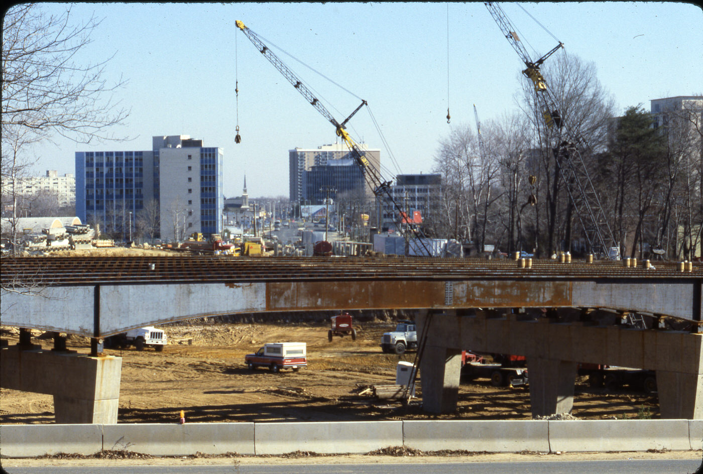
Arlington County began planning for the new Metrorail Orange Line in the 1960s and 1970s. A key decision was the county’s strong push for the Orange Line to run underground along older commercial areas, rather than along the median of Interstate 66. This choice was made to encourage new buildings to cluster around public transportation, aiming to prevent suburban sprawl. This reveals a deliberate and forward-thinking planning strategy. The goal was not simply to build a metro system, but to actively shape the type of growth in Arlington. This decision ultimately led to the creation of “dense, well-connected ‘urban villages’,” demonstrating a clear vision for mixed-use, walkable communities centered on transit. This is a prime example of how infrastructure planning directly influenced the county’s future layout and character.
Arlington used a “bull’s-eye approach” to guide its growth, focusing high-density development within a quarter-mile radius of Metro stations. This strategy aimed to make it easier for people to access work and housing. This precise and intentional approach to managing growth sought to maximize the use of public transportation and reduce reliance on cars. It shows a proactive rather than reactive way of developing the urban area.
The General Land Use Plan (GLUP) was established in 1977 as a guide for future building decisions. It set aside about 11% of the county’s land for high-density, mixed-use buildings located near Metro lines. The remaining 89% of the land was designated as low-density to protect existing neighborhoods and prevent unplanned development. This demonstrates a conscious effort to balance intense urban development with the preservation of residential areas. It was a strategic choice to avoid uncontrolled sprawl and maintain a sense of community in established areas, while directing new growth to specific, transit-accessible zones.
Following the GLUP, specific plans called Sector Plans were developed for each of the five Metro station areas within the Rosslyn-Ballston Corridor. These plans aimed to preserve the unique feel of each neighborhood as they grew into “urban villages”. This approach recognized that a single development model would not work for all areas. This tailored planning sought to create distinct, livable communities rather than a uniform urban landscape.
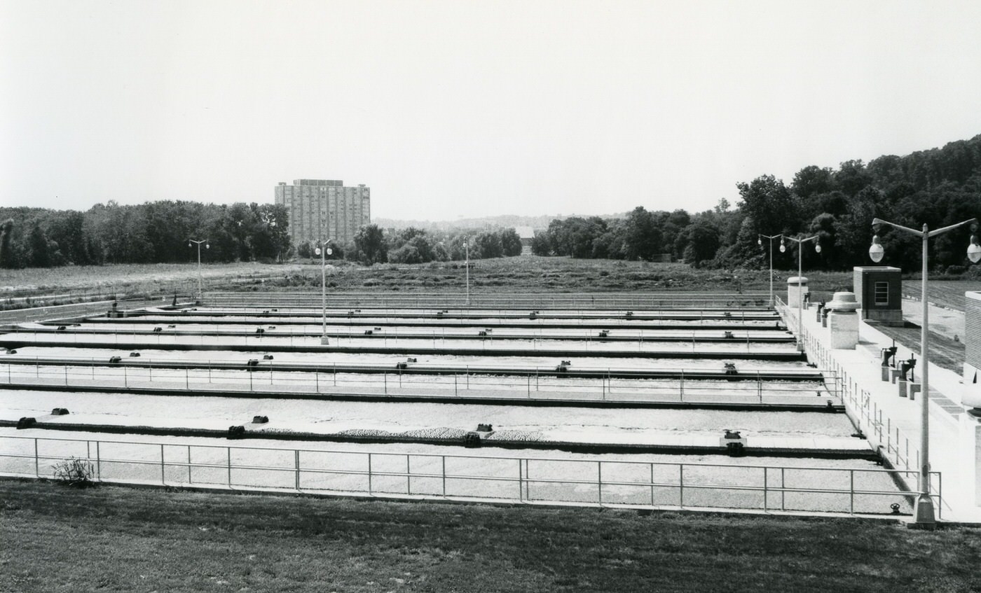
The Four Mile Run corridor experienced several severe floods during the 1960s and 1970s, a direct result of the area becoming more urbanized. In response, Congress approved a project in 1974 to build a flood control channel. This project involved straightening the stream, building a flood levee, and creating a new trapezoidal flow channel. This work has successfully prevented flooding in that area since its completion. This highlights how environmental challenges became a significant factor in urban planning and resource allocation during this period, prompting a large-scale federal response to protect the community.
Work and Daily Life: Economy and Community
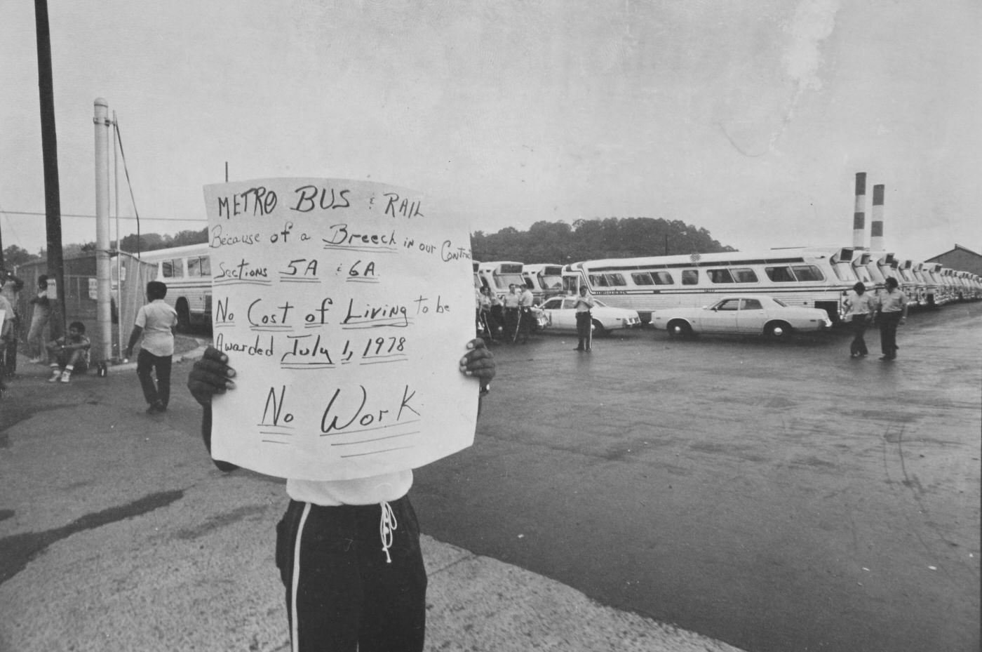
The 1970s was a challenging economic period across the United States, marked by inflation, recession, and high unemployment. These difficulties were partly caused by oil shortages in 1973 and 1979. While specific unemployment rates for Arlington are not detailed, the county, as a suburb of Washington, D.C., certainly felt these national economic pressures. The general economic pessimism of the decade influenced daily life and business decisions throughout Arlington.
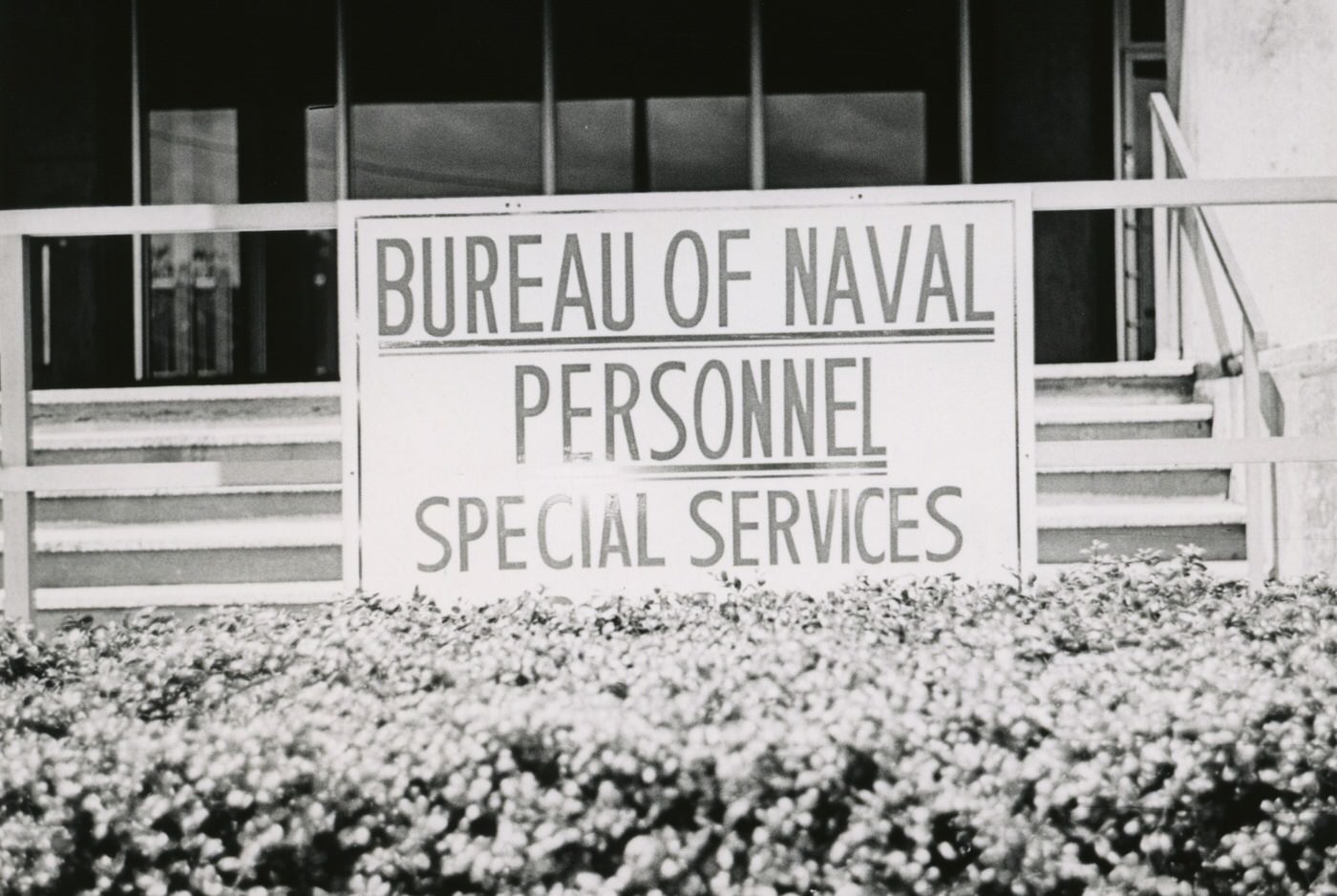
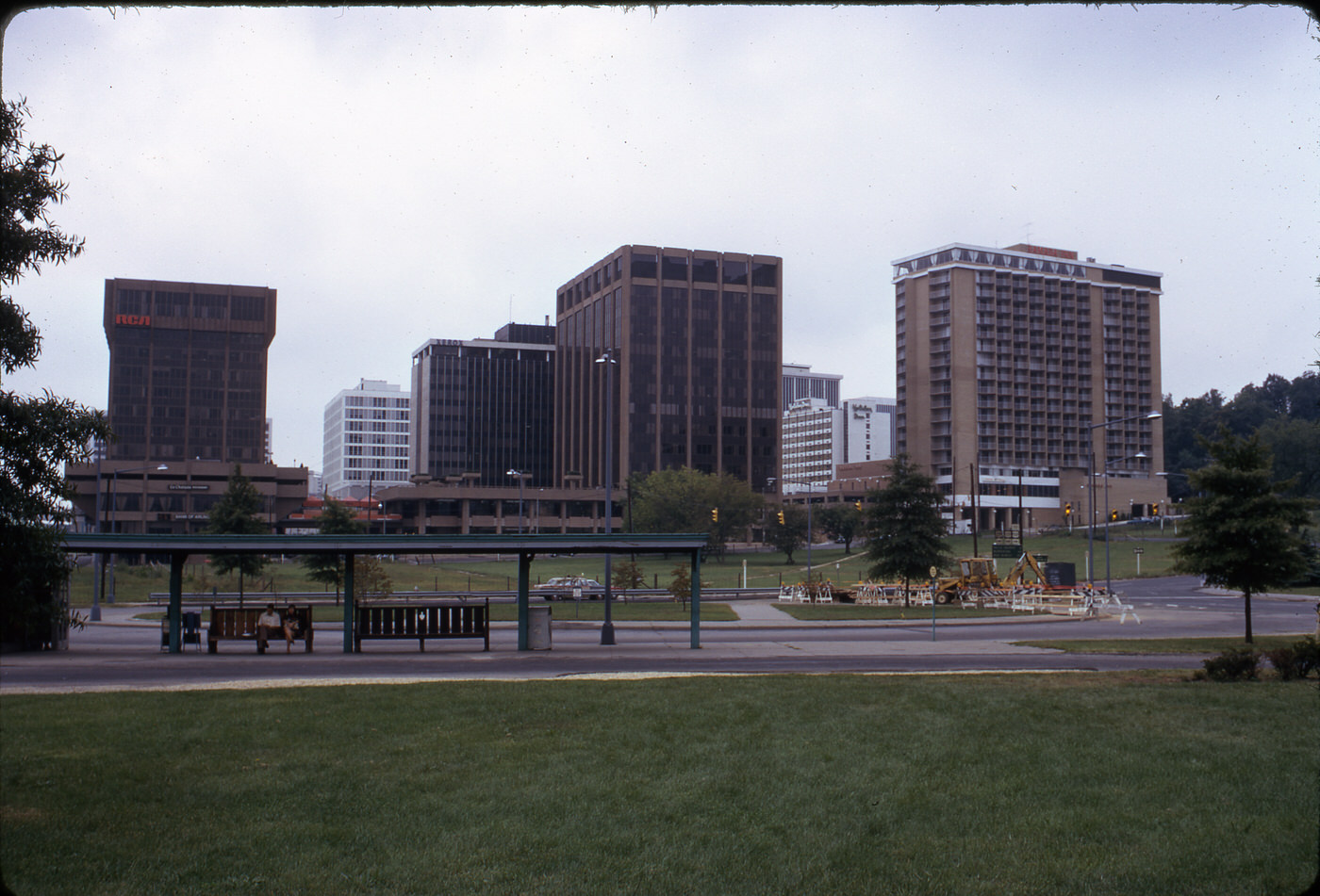
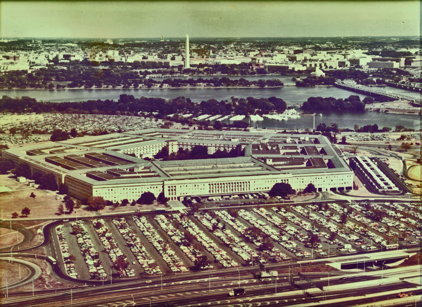
Arlington’s economy had a strong foundation in federal employment due to the presence of the Pentagon and its long history with the aerospace and defense industry. The United States Army Security Agency was headquartered at Arlington Hall until 1977, and the Defense Intelligence Agency (DIA) also used Arlington Hall as its main facility starting in 1963. The arrival of the Pentagon and a large number of federal workers provided many new jobs, even as some farm and factory work disappeared. This strong federal presence acted as an economic anchor, providing a degree of stability despite broader national economic challenges.
A significant demographic and cultural shift occurred after the Fall of Saigon in April 1975, when many Vietnamese refugees arrived in the U.S. and a large number settled in Arlington. The Clarendon neighborhood became known as “Little Saigon,” a vibrant center for Vietnamese businesses and social life, reaching its peak in the late 1970s and early 1980s. This transformation happened because Clarendon had seen a decline in the mid-1900s, which meant cheap, short-term commercial leases were available. These conditions created an opportunity for refugees to open businesses and support their families, even when faced with challenges like getting bank loans.
The first Vietnamese grocery store, Saigon Market, opened in 1972, quickly followed by more shops and restaurants. These businesses sold specialized goods that were hard to find in American markets. Some businesses adopted a “flea market” or “bazaar” style, with multiple operations running within a single building, such as the My An Fabric store which also housed a billiards room and a small cafe. Cultural events, including the annual Moon Festival, were held throughout the year. This demonstrated that Little Saigon was a self-sustaining community that provided essential goods, cultural familiarity, and social support for the Vietnamese population. It highlighted the resilience and entrepreneurial spirit of the refugees as they recreated a sense of home and community.
Vietnamese entrepreneurs faced many difficulties, including trouble securing bank loans and understanding business licensing and regulations, which sometimes led to fines. To raise money, they often relied on friends, family, or traditional lending practices like “hoi,” where money was pooled from community members. This shows the resourcefulness and strong internal social networks within the Vietnamese community, which helped them overcome external barriers to economic integration. Community bonds proved to be a vital economic tool.


Schools and Learning: Adapting to Change
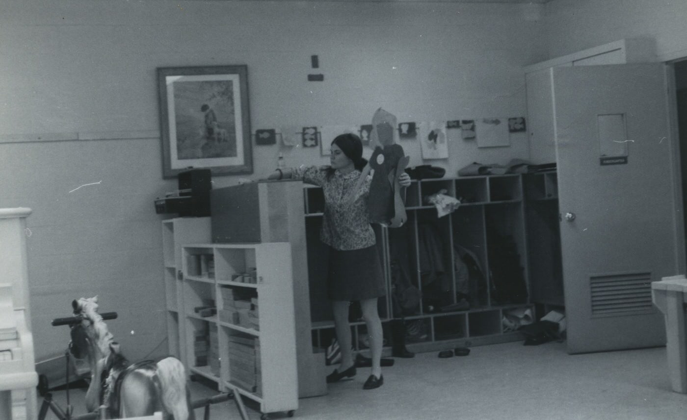
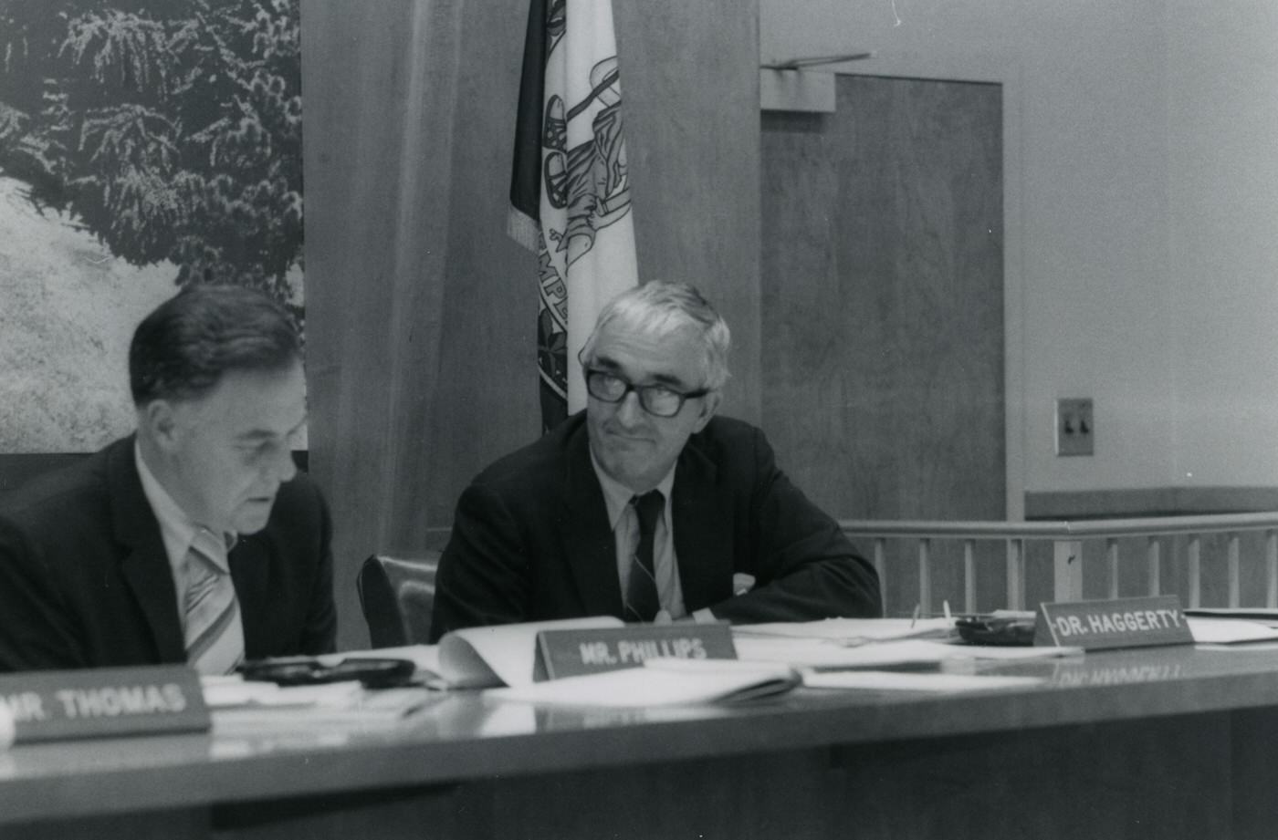
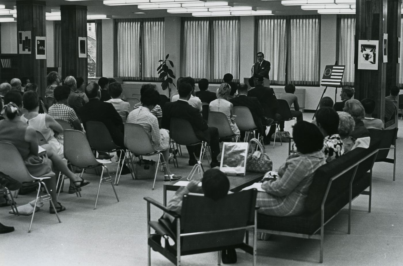
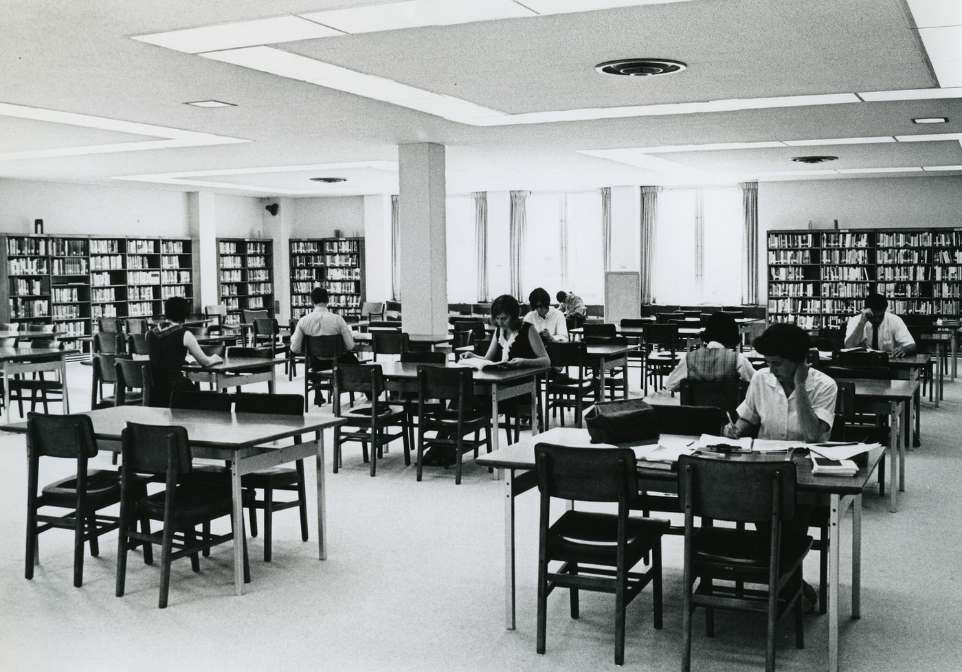
In 1971, the Woodlawn Program, an alternative high school, was founded in Arlington. Its goal was to create a more personal and caring learning environment for students. Students at Woodlawn had more control over their studies, with many classes meeting less often and much of the work done independently. Students could even propose new classes or take part in internships outside of school. This progressive approach to education showed a recognition of different learning styles and a move away from traditional, rigid schooling models. It indicated a willingness within Arlington’s educational system to experiment and adapt to student needs.
Woodlawn featured fewer students and smaller class sizes than other schools in Arlington. Students addressed teachers by their first names, and everyone, including teachers, had an equal voice in the school’s governing body, known as “Town Meeting”. Every student also had a Teacher Advisor who guided them in their educational journey. This structure aimed to foster student independence, personal responsibility, and a strong sense of community. It offered a different educational philosophy focused on student agency and close relationships between students and educators.
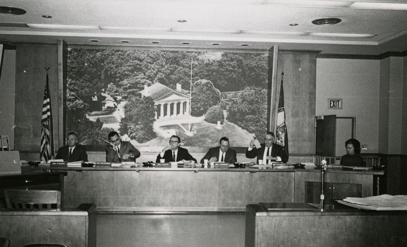
By the mid-1970s, Arlington experienced declining student enrollment, which led to schools closing and combining. For example, Stratford Junior High School closed, and 9th-grade students were moved to high schools. This demographic shift directly caused the restructuring of the educational system. It forced the school board to make difficult decisions, showing how changes in population had immediate and significant effects on local public services and infrastructure.
The Woodlawn and Hoffman-Boston programs merged in 1978, creating H-B Woodlawn. This merger was driven by budget cuts and the need to close schools. Students initially opposed the merger, but they eventually helped create a new school philosophy for H-B Woodlawn. This situation showed how economic realities forced changes even on innovative educational programs. The initial student resistance and the formation of a “Merger Committee” highlight the community’s involvement and the effort to preserve the core values of alternative education despite external pressures. The eventual success of H-B Woodlawn suggests a successful adaptation to these challenges.


Recreation and Culture
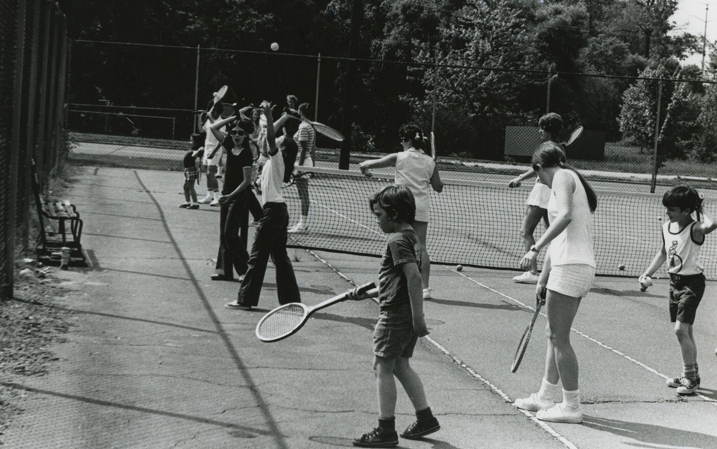
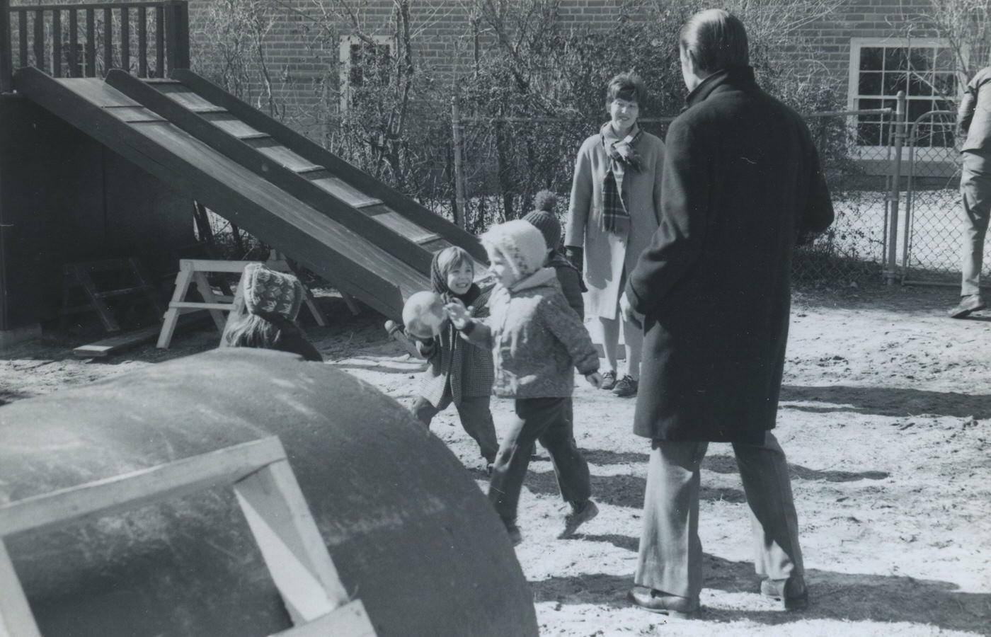
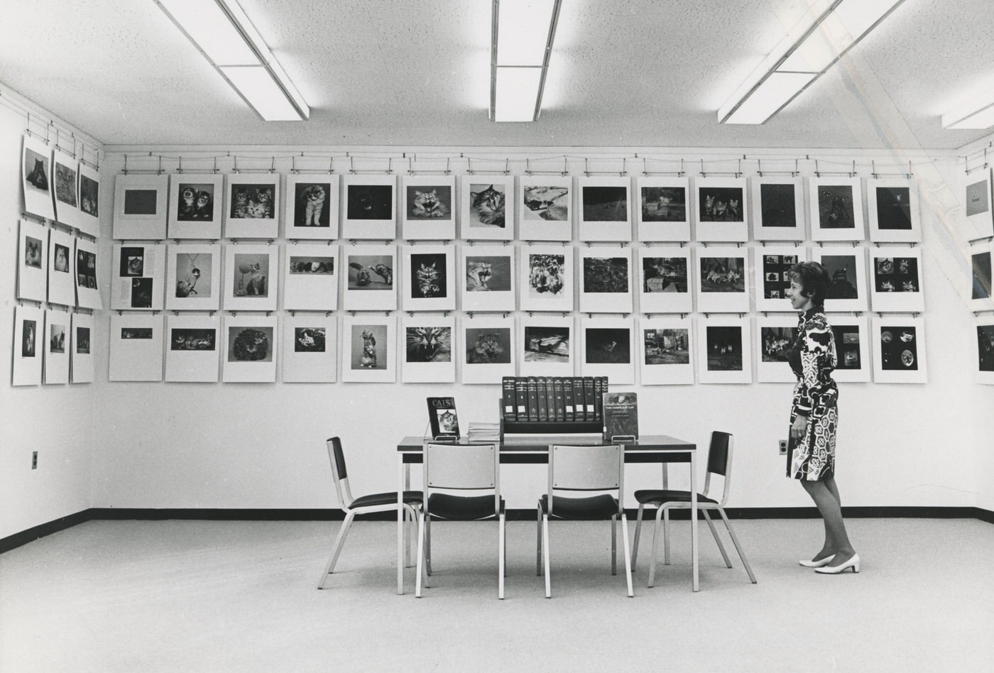
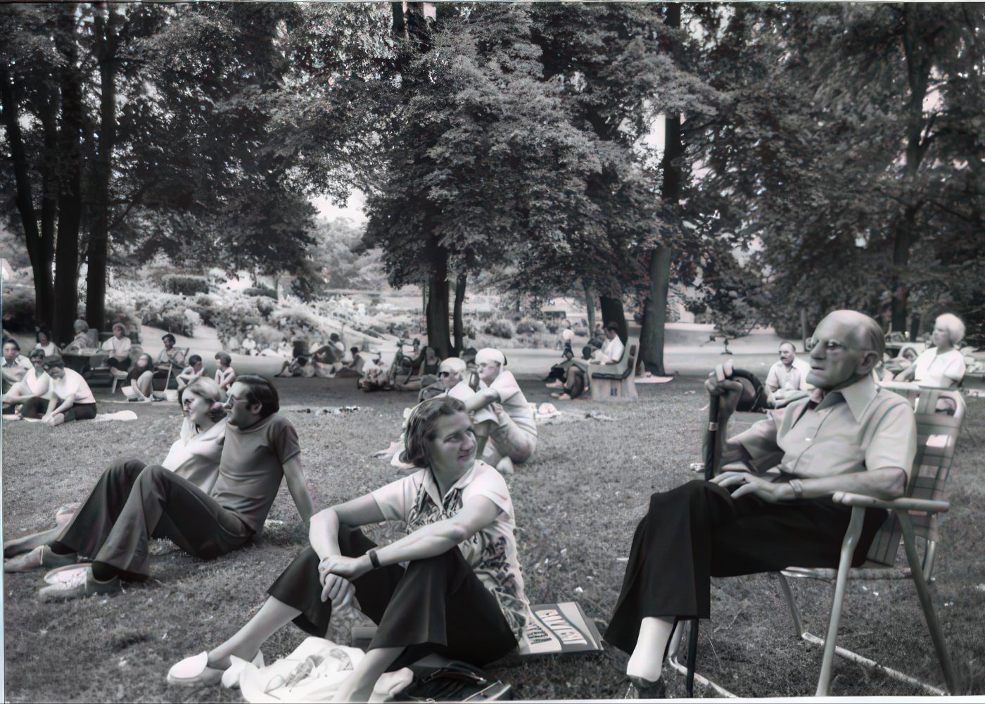
Arlington’s Parks and Recreation Department continued to expand its offerings during the 1970s. In 1972, the Thomas Jefferson Community Center and Long Branch Nature Center opened. The I-66 bike trail also opened in 1973, adding to the county’s growing bike path system. In 1974, a community garden program began with 70 plots. These new facilities and programs show a continued investment in public recreational spaces. This suggests that county officials recognized the importance of leisure activities and outdoor areas for a growing, increasingly urbanized population. The community garden program, in particular, points to a desire for green space and local food production, even in a developing area.
Arlington held its first County Fair in 1977, introducing the concept of an urban fair to Virginia. The first Farmer’s Market was established in 1979. These events provided opportunities for community gathering, local commerce, and the development of a shared identity. The County Fair, specifically noted as an “urban fair,” reflected Arlington’s changing character and its efforts to create new community traditions in a more urban setting.
The 1970s in Arlington had a lively local music scene. The Rosslyn Mountain Boys, a country band, became popular, performing at venues like the Shamrock bar in Georgetown and the Birchmere in Shirlington. They released albums featuring their original music. The presence of a local band gaining popularity and playing at these venues indicates a local music scene that mirrored broader national music trends of the 1970s, such as country rock and folk. The band’s name, “Rosslyn Mountain Boys,” which was a joke because there are no mountains in Rosslyn, reflected a playful local identity tied to the changing urban landscape of Rosslyn’s high-rises.
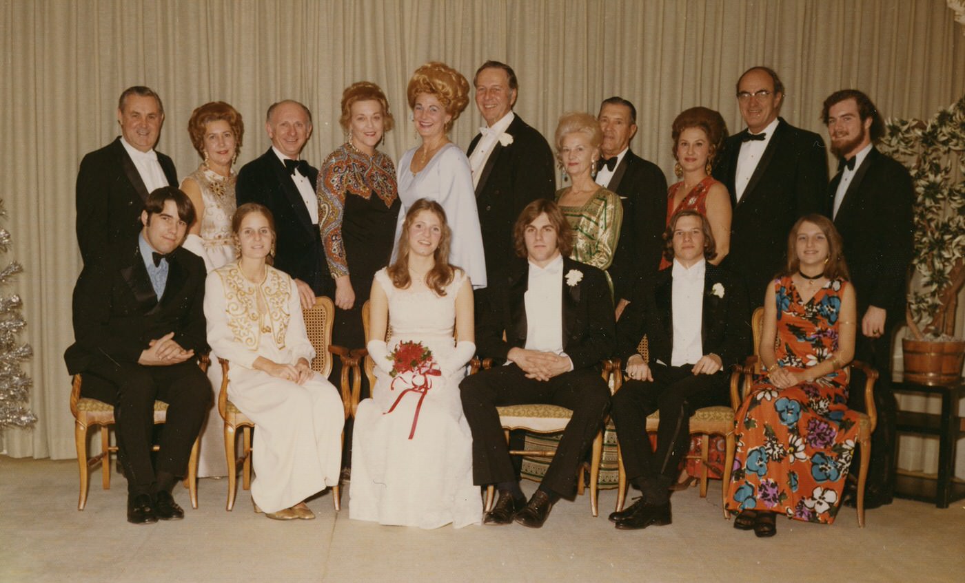
Fashion in the 1970s was characterized by bold colors and patterns. New synthetic fabrics like polyester were widely used, making fashionable clothes more affordable and accessible to a broader population in places like Arlington. Popular styles were diverse and included prairie dresses, flashy disco wear, and the beginnings of athletic wear. Hippie styles, such as patchwork and tie-dye, also influenced fashion trends. Bell-bottoms were a popular choice for both dancing and casual wear. This wide range of styles suggests a diverse and expressive cultural landscape where individuals could choose from various looks, reflecting the social shifts of the era.
Protests and Politics
The 1970s began with the Vietnam War still ongoing, which caused significant social unrest across the country. While specific details for Arlington are limited, the broader Washington D.C. area experienced large anti-war protests. A notable example was the May Day protests in 1971, where thousands of people attempted to block traffic and disrupt government operations in D.C., leading to mass arrests. Arlington’s direct closeness to Washington D.C. meant that its residents would have been directly involved in or observed these major national events. The mention of “Vietnam protests” in a documentary about Washington in the ’70s confirms their local relevance, even without specific details of Arlington-based actions. The county’s proximity to the nation’s capital amplified the reach of national movements, making them a part of local life.
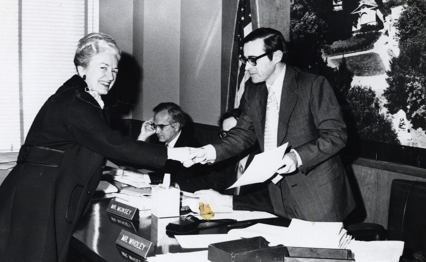
The Watergate scandal, involving a break-in at the Democratic National Committee headquarters and a cover-up by President Nixon’s administration, unfolded throughout the 1970s. This national event culminated in President Nixon’s resignation in 1974. Because of Arlington’s close ties to the federal government, and with many of its residents being federal employees, the Watergate scandal was keenly felt in the county. Local newspapers in Arlington, including the
Columbia News, the Daily Sun, the Northern Virginia Sun, and The Sun, covered events up to 1978. This suggests that Arlington residents were well-informed about the unfolding crisis through their local media, which contributed to local discussions and reactions to the political turmoil. The scandal’s national reach served as a constant backdrop to daily life in Arlington.
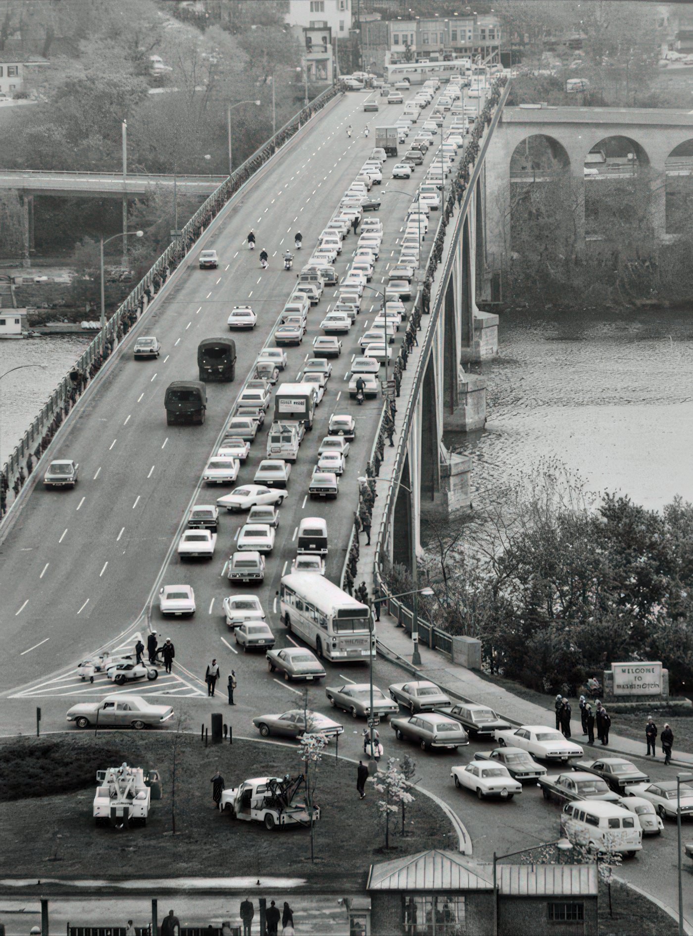

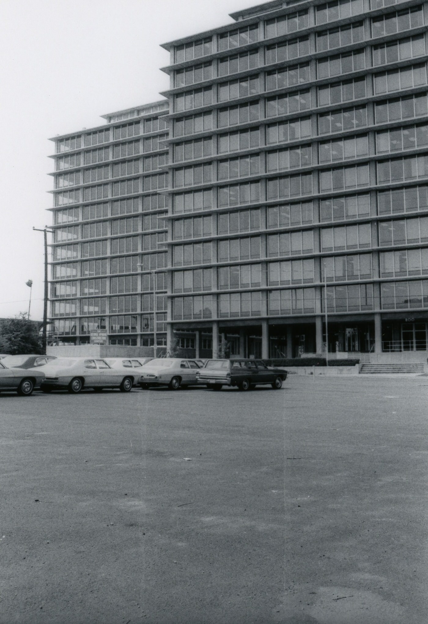
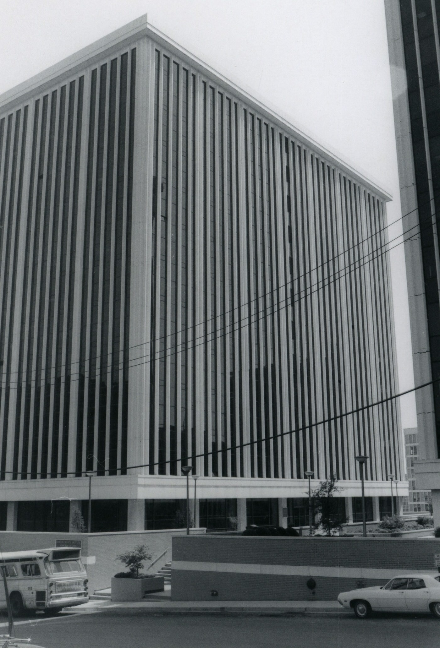
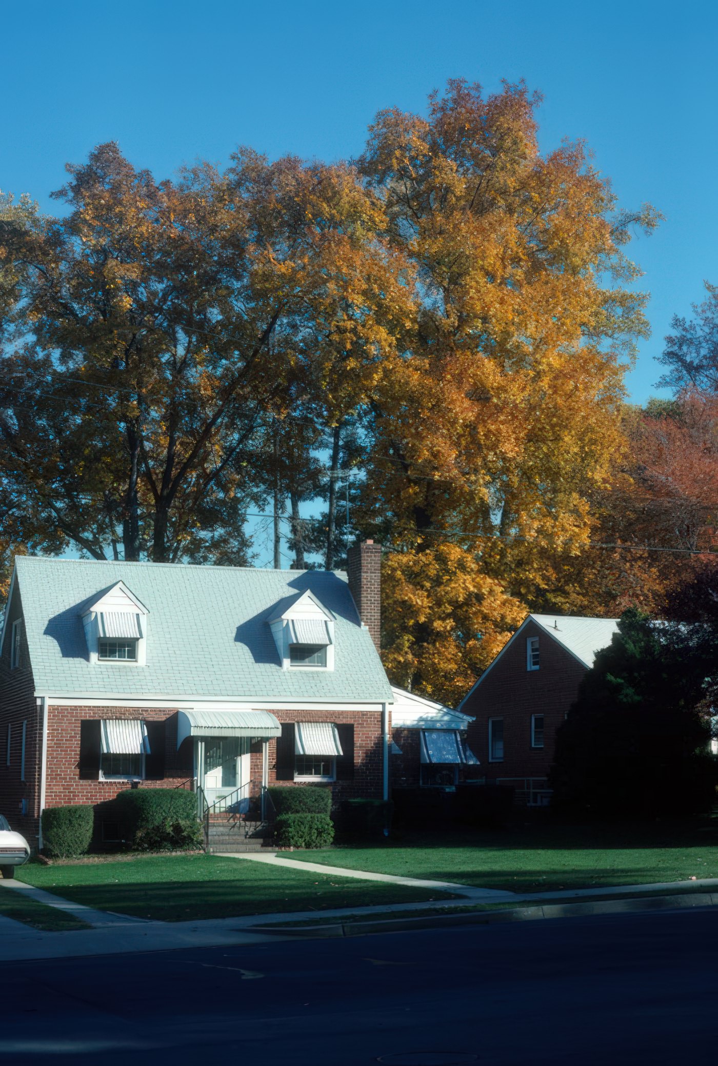

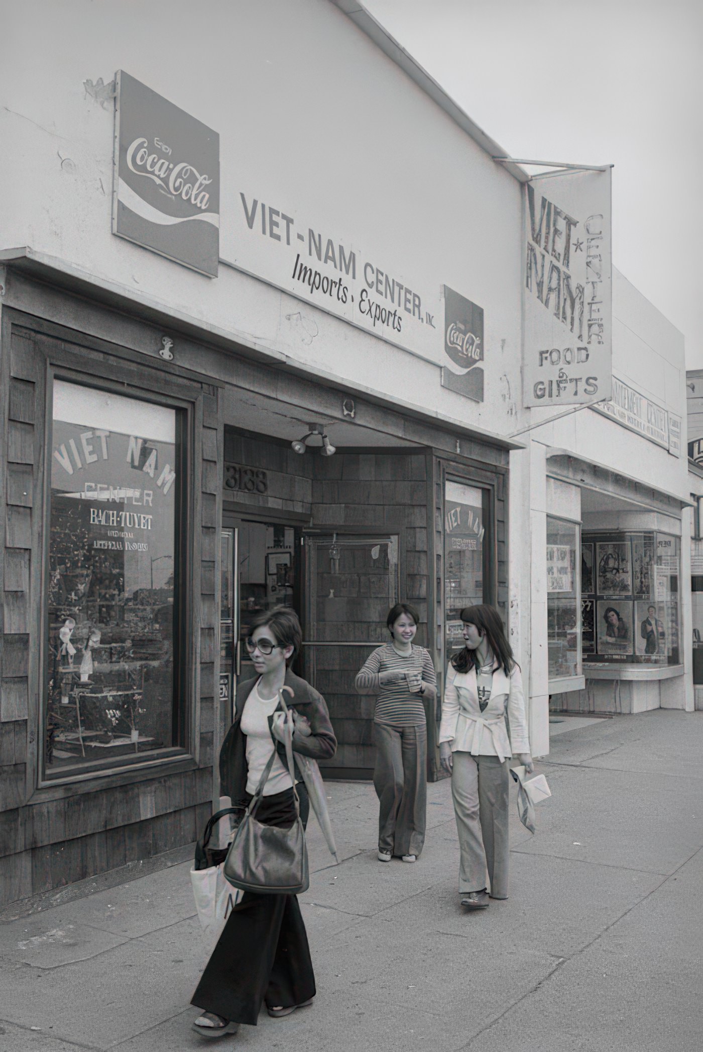
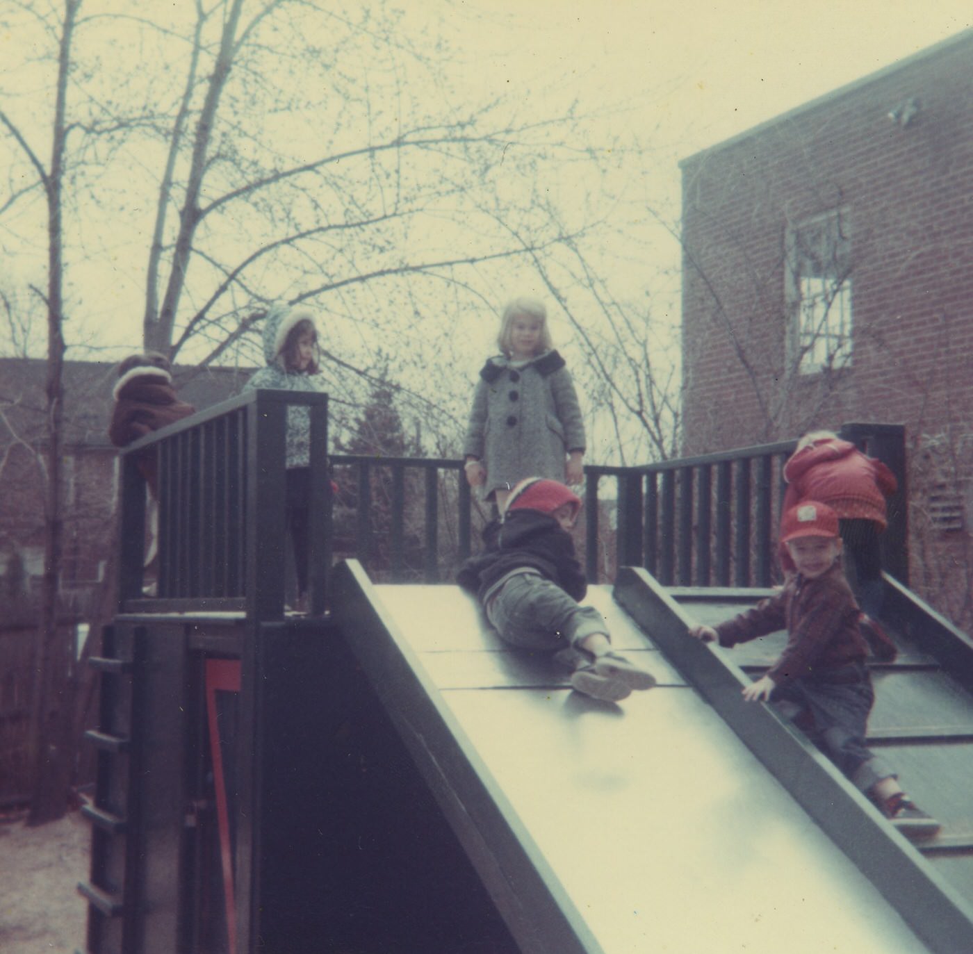
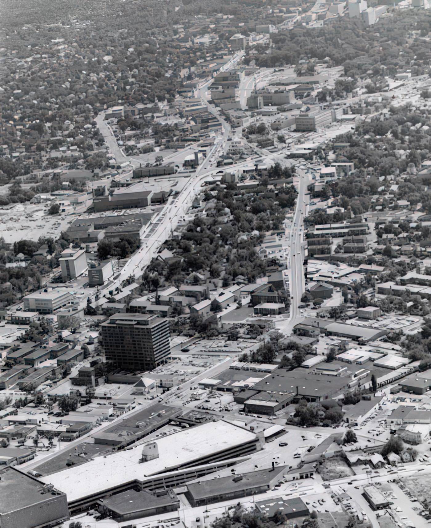
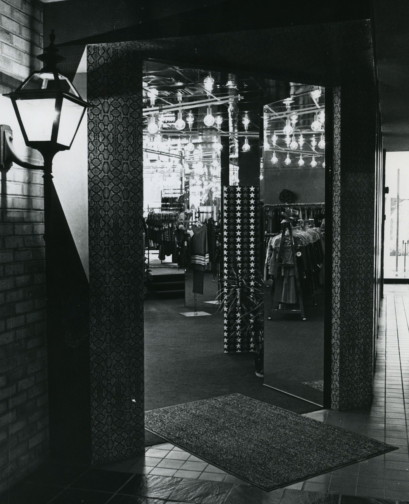
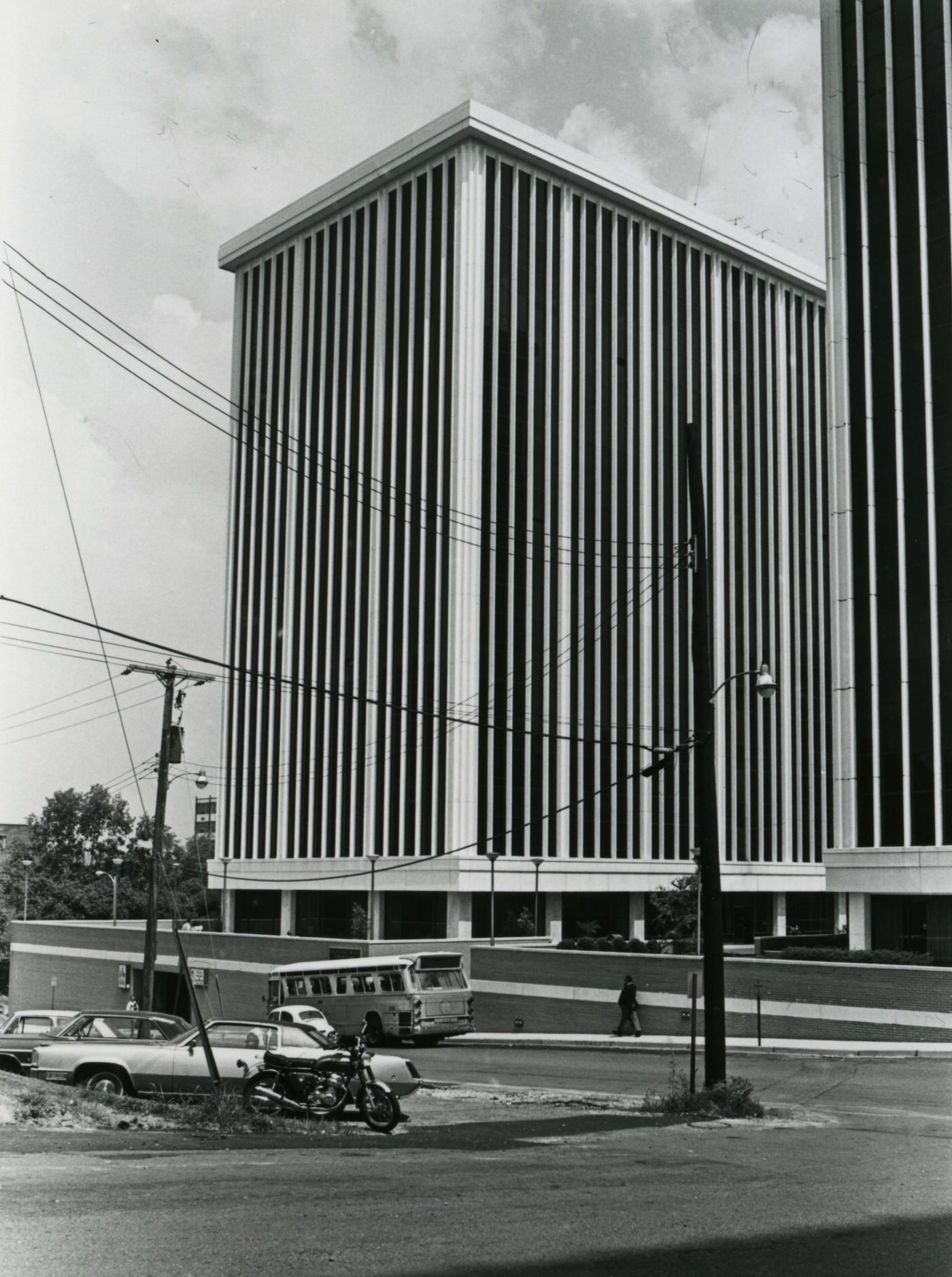
Image Credits: Arlington Public Library, Library of Congress, Wikimedia, Flickr, Pinterest,
Found any mistakes? 🥺 Let us Know